Benefits of Drone Photography in Real Estate
In the competitive real estate market of Miami, high-quality visual content plays a significant role in attracting potential buyers. Drone photography offers a distinctive advantage by capturing expansive aerial views that ground-level images simply cannot achieve. These elevated perspectives provide a comprehensive view of a property’s layout, surrounding neighborhood, and unique features, enhancing the overall presentation.
One of the most notable benefits of drone photos for real estate is their ability to showcase a property's size and scope effectively. Aerial shots can illustrate the full extent of a large estate, a beachfront property, or a commercial site, offering prospective buyers a clear understanding of the property's scale and attributes from a single image. This enhances engagement and fosters better decision-making.
Furthermore, drone imagery helps highlight outdoor amenities such as pools, gardens, patios, and landscaping details that are often missed in traditional photos. These visuals serve as compelling selling points, creating an emotional connection with potential buyers by visualizing the lifestyle the property offers.
Another advantage is the ability to stand out in a crowded market. Listings that incorporate dynamic drone footage often catch the eye of prospective buyers browsing online, resulting in increased click-through rates and longer viewing times. This increased visibility can lead to faster sales, reduced time on the market, and potentially higher offers.
From an advertising perspective, drone photos enable real estate professionals to craft a compelling narrative around the property. Aerial views can illustrate the proximity to beaches, parks, local landmarks, and transportation hubs, emphasizing neighborhood advantages. These contextual images help buyers envision their future lifestyle in Miami, making listings more appealing and memorable.
Additionally, drone photography can be used for virtual tours and detailed marketing campaigns, allowing for an immersive experience. The ability to produce cinematic-quality footage and panorama shots places properties ahead of competitors relying solely on ground photography. This innovative approach not only enhances visual storytelling but also demonstrates a commitment to quality and professionalism in property marketing.
Finally, the strategic use of drone images supports more effective marketing across multiple platforms, including websites, social media, and online real estate portals. Well-executed aerial shots can significantly elevate a listing's profile, reaching a broader audience and increasing the likelihood of a timely sale.
Legal Regulations and Permits for Drone Photography in Miami
When planning to incorporate drone photography into real estate marketing, understanding the official procedures and guidelines is crucial. Miami's aerial photography landscape is governed by specific protocols designed to ensure safety, privacy, and operational standards. Real estate professionals and property owners seeking to showcase their listings via drone must engage with established regulatory agencies that oversee aerial operations. Operators are typically required to obtain authorization from the Federal Aviation Administration (FAA), which sets the national standards for drone flight. Registration of the drone with the FAA is mandatory for aircraft weighing over a certain limit, ensuring accountability and accountability in airspace management. Additionally, pilots must hold current remote pilot certifications, demonstrating their knowledge of operational safety, airspace rules, and best practices. In Miami, specific local ordinances and airspace restrictions may apply, particularly in proximity to airports, heliports, or sensitive zones like government facilities or densely populated areas. These regulations are enforced to prevent disruptions and maintain safety standards. Permit applications often involve submitting detailed flight plans that specify the intended altitude, flight path, and operational times. Adhering to these protocols not only facilitates smooth approval processes but also ensures that drone flights are conducted within the boundaries of legal frameworks. Operators must also respect privacy rights, avoiding images or videos of private properties without consent, particularly in densely populated neighborhoods. Communicating with property owners beforehand can help prevent misunderstandings and foster trust. Engaging with licensed drone service providers who are familiar with local rules and experienced in real estate applications ensures compliance and high-quality output. They can navigate the permit acquisition process efficiently, allowing real estate professionals to focus on strategic marketing efforts while ensuring all legal requirements are met seamlessly. Equipment used should also meet regulatory standards, including comprehensive safety features and GPS tracking to prevent accidental incursions into restricted zones. Planning flights with an understanding of Miami’s specific airspace restrictions can dramatically reduce the risk of interruptions or penalties, safeguarding both the investment in marketing and the reputation of the listing. By prioritizing these official procedures and securing necessary permits, real estate professionals can leverage drone photography’s full potential in Miami's competitive market while maintaining operational integrity and respect for local regulations.
Legal Regulations and Permits for Drone Photography in Miami
In Miami, drone photography for real estate is regulated through a set of established protocols designed to ensure safe and efficient operations. Adhering to these regulations involves obtaining the necessary authorizations before conducting aerial photography or videography. The process typically includes submitting a detailed flight plan that outlines the intended flight areas, altitudes, and operational timings. This helps authorities assess potential impacts on air traffic and community privacy.
Additionally, real estate professionals must coordinate with local air traffic control entities to prevent disruptions and ensure the drone operations are confined within designated zones. Drone operators are also required to maintain visual line-of-sight during flights, ensuring precise control over the drone’s movements at all times.
Permits are obtained through regional aviation authorities, which scrutinize the applicant’s safety protocols and pilot certifications. Possessing a drone pilot license or certification from a recognized authority enhances compliance and facilitates smoother approval processes. For properties situated near airports, helipads, or other sensitive zones, additional clearance is necessary, emphasizing the importance of thorough flight planning.
Privacy considerations are paramount; operators should avoid capturing images or videos of private residences without explicit consent. Respecting the boundaries of private property not only reflects ethical professionalism but also fosters positive relationships within communities. Engaging with property owners or neighbors beforehand can prevent misunderstandings and build trust.
By strictly following these procedural guidelines—obtaining permits, communicating with authorities, and respecting community standards—real estate professionals can utilize drone photography effectively within Miami’s vibrant market. This approach guarantees high-quality visual content that elevates property listings while maintaining operational integrity.
Official and Methodical Approaches to Drone Photography in Real Estate
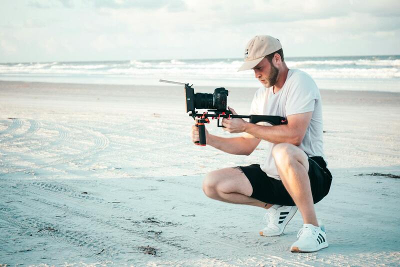
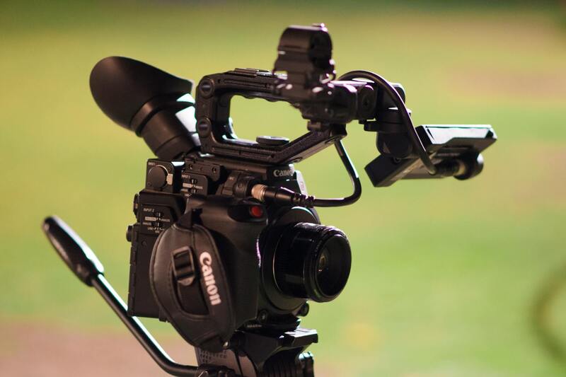
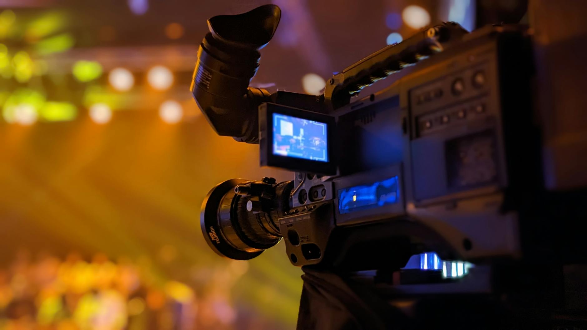
To maximize the impact of drone photos in real estate, professionals should adopt structured and industry-standard practices that prioritize safety, accuracy, and image quality. This involves a thorough understanding of established equipment and technical protocols designed specifically for aerial imaging. High-resolution cameras with adjustable settings enable capturing crisp, vibrant visuals in varying lighting conditions, while stabilized gimbals ensure smooth footage free of jitter, which is essential for professional listings.
Pre-flight planning is crucial. This includes detailed site reconnaissance to identify optimal flight paths, potential obstacles, and areas requiring special attention. Proper planning also involves analyzing sunlight angles, shadows, and reflections to enhance the visual appeal without distortions. Utilizing flight planning software can automate route mapping and compliance checks, ensuring consistent and efficient captures.
During flight, operators should adhere to standard procedures such as maintaining consistent altitudes, avoiding abrupt movements, and monitoring environmental conditions like wind and weather. Employing the correct camera settings—including aperture, shutter speed, ISO, and resolution—tailors each shot to highlight property features while reducing noise and motion blur. Post-flight review and editing are equally important, allowing for adjustment of brightness, contrast, and color balance to produce images that truly showcase the property’s best attributes.
In addition to technical rigor, documentation and record-keeping serve a vital role. Maintaining detailed logs of flight activities, camera settings, and flight paths assists in quality assurance and future review. This structured approach ensures that every shot captured aligns with industry standards, fostering trust and delivering consistent results that meet the expectations of clients and stakeholders.
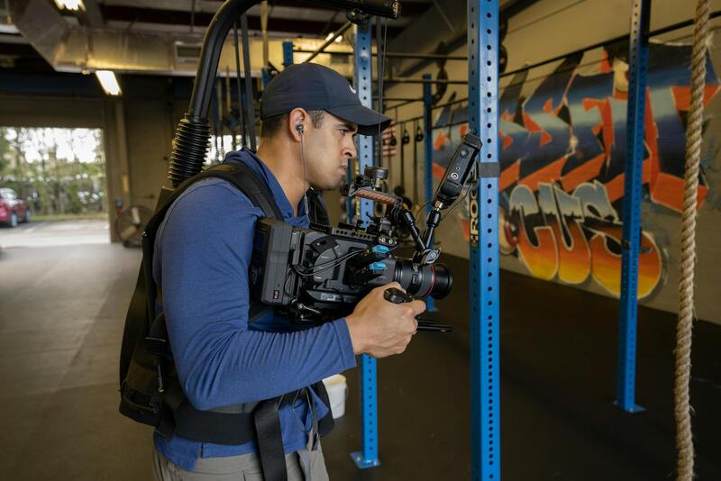
Engaging with licensed, experienced drone operators who follow these established protocols provides a foundation for successful real estate campaigns. These professionals are well-versed in optimal flight practices, camera techniques, and the use of specialized equipment that collectively elevate the visual presentation of properties and reinforce the property’s appeal to prospective buyers.
Best Practices for Capturing Drone Photos of Properties
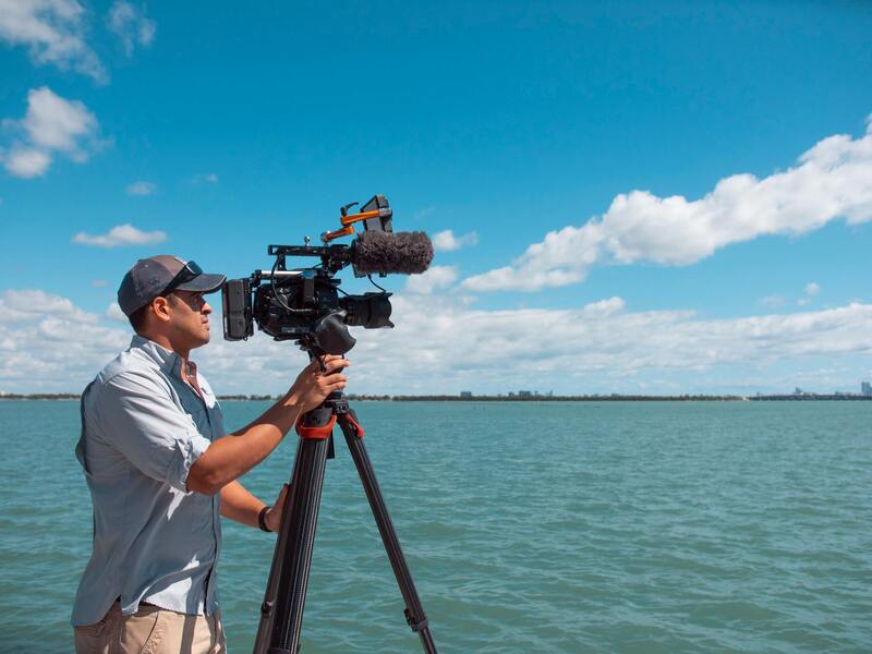
Achieving high-quality drone images for real estate requires careful planning and precise execution. One primary consideration is the selection of optimal weather conditions, as wind, rain, or fog can compromise both safety and image clarity. Conducting flights during clear, calm days ensures stable footage and sharp, well-lit photos that accurately depict the property.
When setting up for drone photography, start with a detailed flight plan that considers the property's layout, key features, and optimal angles for showcasing its unique attributes. Establishing safe flight altitudes allows for comprehensive coverage while maintaining a consistent perspective across shots. Maintaining steady, controlled movements during flight enhances image sharpness and prevents distortions caused by sudden shifts or vibrations.
CMA (Camera Management and Adjustment) is vital for capturing professional-grade shots. Proper camera positioning—such as adjusting pitch for tilted rooflines or capturing expansive property boundaries—can emphasize the property's scale and layout. Employing high-resolution settings on the drone’s camera ensures fine detail, allowing potential buyers to explore features virtually.
Lighting plays a crucial role in drone photography. Shooting during the golden hour—the period shortly after sunrise or before sunset—provides warm, diffused light that enhances textures and minimizes harsh shadows. Conversely, shooting midday can result in stark contrasts, which might obscure details or produce unflattering reflections. Adjusting camera settings such as ISO, aperture, and shutter speed can further optimize exposure and clarity under varying light conditions.
Post-flight review is an essential component of the process. Analyzing footage and images allows for the selection of the best shots, cropping out imperfections, and enhancing colors through editing software to produce visually striking visuals. Consistency in editing style ensures that all images within a listing maintain a professional, cohesive appearance.
To maximize the impact of drone visuals, it is advantageous to incorporate a mix of shot types, such as aerial panoramas, close-ups of distinctive architectural features, and strategic angles that showcase the property's proximity to amenities or scenic surroundings. Employing a variety of perspectives offers a comprehensive visual story that resonates with prospective buyers, emphasizing both the property’s interior and exterior appeal.
Legal Regulations and Permits for Drone Photography in Miami
When engaging in drone photography for real estate in Miami, understanding the framework that governs the use of drones is essential to ensure smooth operation and compliance. Drone operators must adhere to local, state, and federal guidelines designed to regulate aerial imaging activities. These protocols include specific requirements related to altitude restrictions, flight zones, and operational safety protocols. Securing the necessary permits involves submitting detailed plans of the intended flight paths, the purpose of the shoot, and safety measures to relevant authorities.
Miami's diverse urban landscape and proximity to sensitive areas necessitate careful planning before conducting drone flights. Many locations require prior approval from local authorities or property owners, especially when flying over private residences or commercial properties. It is advisable to verify property boundaries and coordinate with property owners to avoid misunderstandings or disruptions.
Additionally, drone pilots must maintain awareness of restricted airspace zones, including near airports, heliports, and military installations. These zones typically require special authorizations or waivers for drone operations. Pilots should also familiarize themselves with Miami's specific air traffic rules, especially in areas with high pedestrian activity or congested airspace.
For real estate professionals utilizing drone services, partnering with licensed operators who understand the local regulations helps streamline the process and minimizes legal risks. Professional drone service providers are often well-versed in the permit application process, ensuring all necessary authorizations are in place before filming begins.
Maintaining documentation of compliance, including permits, flight logs, and safety protocols, is crucial for transparency and accountability. This record-keeping can also facilitate smoother inspections or reviews by regulatory agencies. Ultimately, adhering to these procedural requirements not only mitigates potential disruptions but also demonstrates a commitment to responsible aerial photography practices.
Best Practices for Capturing Drone Photos of Properties
Achieving high-quality drone images that effectively showcase a property requires adherence to established best practices. These practices not only ensure visually appealing results but also optimize the marketing impact of the photographs. One primary consideration is selecting the appropriate time of day for shooting. Shooting during the golden hour—shortly after sunrise or before sunset—provides soft, warm lighting that enhances the property's features and minimizes harsh shadows.
Another essential aspect involves planning flight paths meticulously. A well-planned route ensures comprehensive coverage of the property, including unique features such as outdoor amenities, landscaping, and architectural details. Utilizing mission planning software or pre-programmed flight paths can improve accuracy and consistency across multiple listings.
Camera settings should be configured for optimal image quality. Using manual settings to control exposure, ISO, and shutter speed allows for sharper images with true-to-life colors. Shooting in high-resolution modes ensures that the images can be enlarged or cropped without loss of detail, which is crucial for marketing materials.
The stability of the drone during flight significantly impacts the clarity of photos. Operators should utilize stabilization equipment, such as gimbals, to maintain smooth footage and crisp images. Additionally, paying attention to weather conditions aligns with the best practices—avoiding windy or rainy days as these can compromise drone control and camera stability.
Post-flight, processing images with professional editing software enhances visual appeal. Adjustments to brightness, contrast, and color balance can help in highlighting the property’s best features. Moreover, stitching multiple images into panoramic views offers a comprehensive perspective that captures the full scope of larger properties.
Maximizing the Impact of Drone Photos in Real Estate Marketing
Integrating high-quality drone imagery into property listings requires a strategic approach that aligns with overall marketing goals. Recognizing the strengths of aerial photography, real estate professionals should focus on creating a compelling visual narrative that showcases the property's unique features from multiple perspectives. Properly curated drone photos can significantly enhance online listings, print brochures, and social media campaigns, contributing to faster sales and higher property values.
Structured integration involves selecting images that not only display the property’s exterior but also emphasize aspects such as landscape features, roof details, and access points. Employing a mix of wide-angle shots, detailed close-ups, and dynamic aerial videos creates a comprehensive visual experience for potential buyers. Incorporating these visuals within online listings, virtual tours, and 3D presentations can increase engagement and generate more inquiries.
Enhancing Listings with Consistent Quality
Maintaining a high standard of quality across all drone images is crucial. This involves using professional-grade equipment, optimizing flight times for optimal lighting conditions, and ensuring images are edited for maximum clarity and color accuracy. Consistent quality maintains viewers’ confidence in the listing, fostering a perception of professionalism and trustworthiness.
Leveraging Data and Analytics for Optimal Placement
Effective deployment of drone photos also benefits from understanding target audiences and platform preferences. Analyzing user engagement metrics on various online channels guides the selection of images and formats that resonate most effectively. Visual content that appeals to specific demographics or emphasizes particular property features can improve marketing campaigns' overall success.
Addressing Accessibility and User Experience
For online property showcases, balancing aerial visuals with user-friendly navigation enhances the viewer experience. Implementing interactive galleries that allow viewers to zoom, rotate, or view 360-degree perspectives results in greater immersion. Ensuring images are optimized for fast load times across devices maintains accessibility and encourages prolonged engagement.
Strategic use of drone photography, supported by a consistent quality approach and data-driven placement, maximizes visibility and impact. When integrated thoughtfully into marketing materials, aerial visuals become a powerful tool to attract attention, convey the essence of a property’s appeal, and accelerate the sales process.