Importance of Drone Photography in Real Estate
In the highly competitive real estate market, showcasing a property through compelling visuals can significantly influence prospective buyers. Drone photography has revolutionized property marketing by offering distinctive aerial perspectives that traditional ground-level images cannot convey. These images capture the full scope of a property's exterior, including surrounding landscapes, neighborhood features, and accessibility, providing viewers with a comprehensive understanding of the property’s context.
High-quality drone imagery enhances the visual appeal of property listings, often resulting in increased engagement. Potential buyers can explore the layout of large estates, visualize outdoor amenities such as pools and gardens from above, and assess the proximity to essential services or scenic attractions. Such perspectives aid in creating emotional connections, which are crucial in decision-making processes.
Real estate agents recognize that listings enriched with aerial drone shots stand out in a crowded marketplace. The unique vantage points garnered through drone technology not only attract more views but also promote faster sales. Homebuyers today often rely on digital listings as their primary source of information; therefore, integrating drone photography elevates the quality and professionalism of your marketing materials.
Furthermore, drone images facilitate better decision-making by offering a realistic depiction of property features and surroundings. This capability is especially beneficial for large estates, commercial properties, and areas with complex landscaping. By delivering multiple perspectives—from close-up ground shots to sweeping aerial views—drone photography plays a pivotal role in creating comprehensive property narratives that resonate with buyers.
In essence, professional drone photography stands as an indispensable component in modern real estate marketing, offering a competitive edge through dynamic visuals that boost listing appeal, foster buyer interest, and ultimately accelerate sales cycles. For agents and property owners in Miami, leveraging this technology with reputable local services ensures the images are produced with precision and expertise aligned with industry standards.
Legal Requirements and Permits for Drone Use in Miami
Operating drones for real estate photography in Miami involves adhering to specific guidelines established to ensure responsible and professional use. Before capturing images, it is crucial to obtain the appropriate permissions and understand the operational parameters set by local authorities and federal agencies. This process helps in maintaining a smooth workflow and avoiding potential interruptions or complications during the shooting process.
Secure necessary authorization by submitting an application through authorized channels, which typically include detailed plans of the intended flight paths, the purpose of the shoot, and safety measures in place. This ensures that all drone operations are transparent and compliant with the existing regulations governing aerial photography. Additionally, identifying the property’s proximity to airports, helipads, or restricted airspace is vital in planning effective drone flights without conflicts or interference.
In Miami, drone operators should also be aware of specific municipal ordinances that may influence flight activities. These might encompass restrictions on flying over certain private properties, parks, or densely populated areas to protect the privacy and safety of residents. Establishing clear communication lines with local authorities can facilitate obtaining the necessary permits and clearances, thereby ensuring that the drone photography session proceeds without legal interruptions.
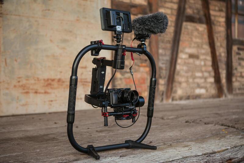
Operators should also ensure that all drone equipment used meets safety standards, including having functional fail-safes, reliable GPS systems, and well-maintained propellers. Training and certification for drone pilots are equally important, as they demonstrate expertise and adherence to safety protocols, which are critical in high-stakes environments like real estate filming.
By diligently following these procedures and securing the appropriate authorizations, real estate professionals can leverage drone technology effectively, presenting properties in a manner that highlights their best features while respecting operational boundaries. This responsible approach not only enhances the quality of the imagery but also maintains a professional reputation within the Miami real estate community.
Strategies for Capturing High-Quality Drone Images for Real Estate
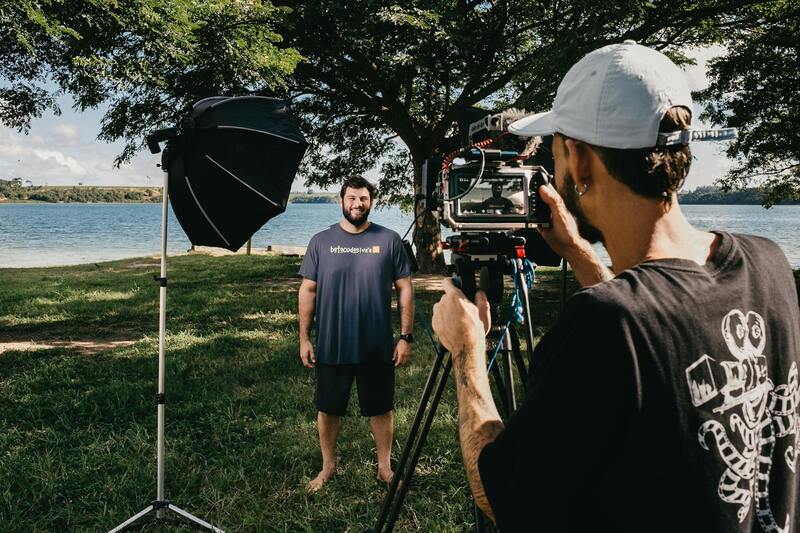
Achieving compelling drone imagery for property listings requires meticulous planning and execution. First, selecting optimal weather conditions is crucial; clear days with calm winds ensure stable flights and crisp images. Timing the shoot during daylight hours, particularly during the golden hour just after sunrise or before sunset, can provide natural, warm lighting that accentuates property features and enhances visual appeal.
Utilizing the right camera settings on the drone is essential to capture sharp, detailed photographs. Adjustments to ISO, shutter speed, and aperture should be tailored to the lighting environment to prevent overexposure or underexposure. High-resolution settings ensure that images are detailed enough for viewers to appreciate property features, even when zoomed in.
Pre-shoot site reconnaissance helps identify the best vantage points and potential obstructions, such as trees or adjacent structures, that could compromise shot quality. Planning flight paths in advance ensures that all critical angles are covered efficiently while minimizing flight time and battery consumption.
During the shoot, maintaining steady drone operation is vital for capturing clear images. Pilots should use the drone's stabilization features and avoid abrupt movements that can cause motion blur. Consistent altitude and angle information ensure uniformity across multiple shots, providing a cohesive visual story of the property.
Post-flight, review of footage on-site allows for immediate retakes if necessary, ensuring that only the best images are used in the final listing. Organizing and labeling images properly facilitates efficient editing and integration into marketing materials.
Implementing these strategies ensures that each drone image or video segment contributes to a compelling visual presentation, attracting more potential buyers and increasing the property's marketability.
Official Procedures for Drone Operations in Miami
Executing drone photography for real estate listings in Miami involves adhering to established protocols that ensure safety, quality, and professional standards. A meticulous planning process includes comprehensive site assessments to determine optimal flight paths, vantage points, and potential obstacles. These evaluations enable drone pilots to capture all necessary angles efficiently, minimizing flight time and maximizing image quality.
Prior to operational deployment, pilots must verify their equipment is properly maintained and calibrated to produce clear, detailed images. This includes updating firmware, checking battery levels, and ensuring all sensors are functioning accurately. Establishing a clear flight plan, which delineates takeoff and landing zones, along with specific camera angles and altitudes, facilitates a smooth shooting session.
Weather conditions play a crucial role in drone photography. Ideal conditions involve stable winds, clear skies, and consistent lighting, which contribute to sharp, vibrant images. Pilot teams often monitor weather forecasts closely to schedule shoots when conditions favor optimal image capture.
During flights, maintaining precise altitude and steady GPS positioning is essential to facilitate uniformity across multiple shots. This consistency enhances the overall visual coherence in listings, providing prospective buyers with a comprehensive perspective of the property.
Post-flight, the collected footage and photographs are subjected to a rigorous review process. This step involves selecting images with the best lighting, focus, and framing, and may include preliminary edits to enhance clarity and color accuracy. Such procedures ensure that only high-quality assets are incorporated into marketing campaigns.
In addition, keeping detailed records of drone operations—including flight logs, equipment used, and environmental conditions—supports streamlined workflows and contributes to ongoing adherence to operational standards.
Best Practices for Shooting Drone Photos in Real Estate
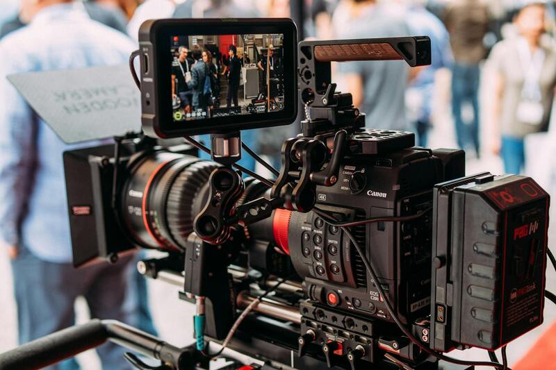
Achieving high-quality drone imagery in real estate requires adherence to meticulous operational standards and technical considerations. Before initiating a drone shoot, it is essential to conduct a thorough site assessment. This involves evaluating potential flight paths, identifying obstacles such as trees, power lines, and neighboring structures, and selecting optimal angles that highlight the property's best features. Establishing a detailed flight plan minimizes the risk of mishaps and ensures comprehensive coverage of the property and its surroundings.
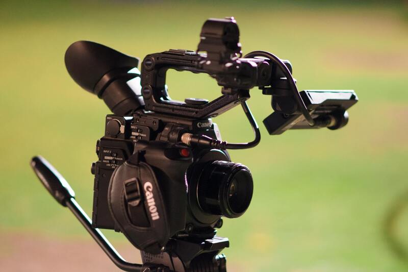
Proper equipment calibration is crucial. Before takeoff, verify that the drone’s camera settings are optimized for the lighting conditions. Adjust ISO, shutter speed, aperture, and white balance to capture vibrant and clear images. Using aperture priority mode often helps maintain sharpness across various focal points, allowing for consistent depth of field throughout the shoot.
Flight maneuvers should be executed with precise control. Maintaining steady, slow movements ensures crisp imagery devoid of motion blur. It is advisable to shoot at multiple altitudes—generally ranging from 50 to 150 feet depending on the property size—to capture diverse perspectives. Overhead shots from higher altitudes provide sweeping views of the estate, while closer shots emphasize architectural details or landscaping features.
Timing the photography session during optimal lighting hours, such as early morning or late afternoon, can dramatically enhance image quality. During these periods, sunlight casts softer shadows and adds warmth to the visuals. Cloud cover can also diffuse harsh sunlight, producing more evenly lit images.
Steady GPS positioning and proper stabilization equipment help maintain shot consistency, especially when capturing panoramic or stitchable images. Multiple overlapping shots are gathered to facilitate seamless image stitching in post-production, which is essential for generating high-resolution, panoramic views that can be integrated into virtual tours or online listings.
Post-shoot, reviewing footage critically ensures only the best images are selected. High-resolution duplicates are cataloged for editing, which involves color grading, removing distortions, and enhancing contrast to strengthen visual appeal. Consistency in editing maintains a unified aesthetic across the listing portfolio, fostering trust and professionalism in property marketing.
Official and Proven Methods for Capturing Drone Images in Real Estate
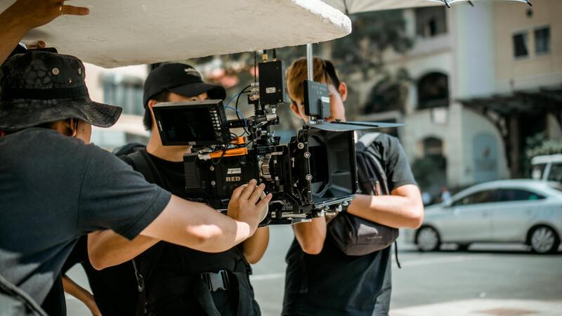
To ensure the delivery of high-quality drone images that effectively showcase properties, it is essential to adhere to recognized, official methods of drone operation. This approach guarantees that the footage aligns with professional standards and provides prospective buyers with a compelling visual narrative of the property. Experts often employ sophisticated drones equipped with high-resolution cameras, capable of capturing detailed images from a variety of angles and altitudes. These devices are calibrated for stability and clarity, enabling smooth, distortion-free shots that highlight architectural features, landscaping, and surrounding amenities with exceptional precision.
Utilizing professional-grade drones also involves applying advanced flight planning techniques. Flight plans are meticulously prepared using flight management software that calculates optimal routes, waypoints, and altitudes to minimize flight disruptions and ensure comprehensive coverage of the property. These software tools help in establishing safe flight zones, avoiding obstacles such as trees, power lines, and other structures, thereby safeguarding the drone during operation.
Moreover, professional drone operators utilize specific camera settings tailored for real estate photography. These include adjusting exposure, shutter speed, and aperture to produce well-lit, vibrant images that accurately depict property details and landscape features. The use of filters or polarization lenses can further enhance image quality by reducing glare and reflections from water surfaces or glass windows.
Operational procedures also emphasize adherence to safety protocols, including pre-flight checks and risk assessments to guarantee smooth execution. Regular maintenance and calibration of equipment are critical to prevent technical malfunctions and ensure consistent image quality across different shoots.
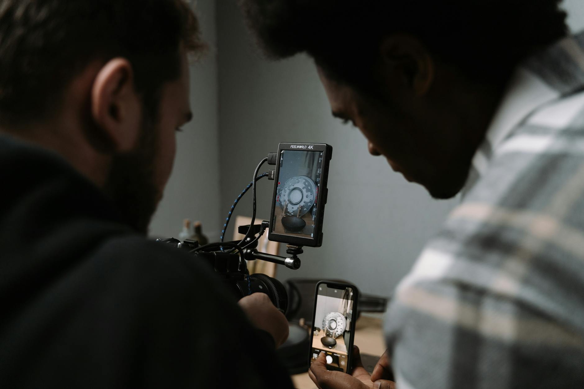
Utilizing Certified Drone Pilots and Independent Operators
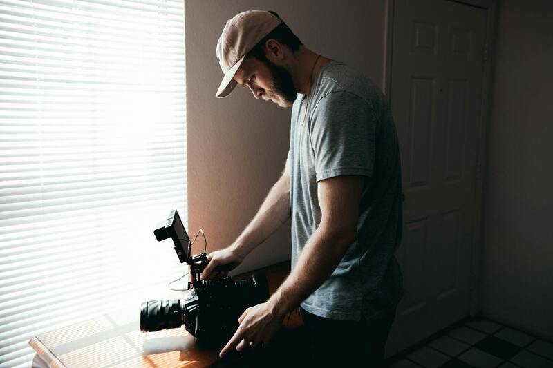
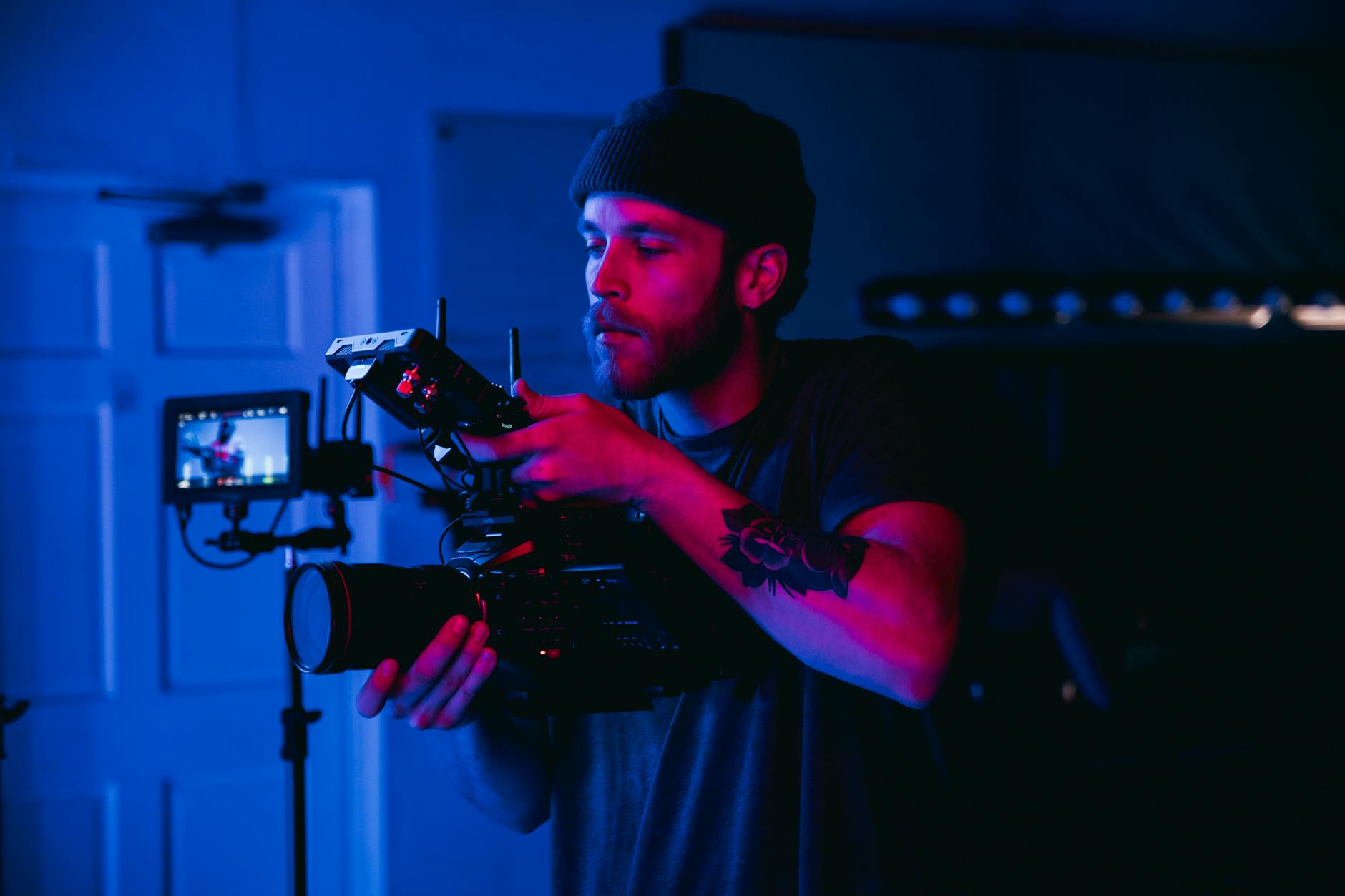
Another essential element involves employing certified drone pilots or accredited professionals specializing in aerial photography. Certified pilots have undergone recognized training programs that emphasize the mastery of safe flight operations, effective framing, and optimal camera controls. Partnering with experienced operators ensures that images are captured efficiently, minimizing repeated flights and maximizing property coverage within limited timeframes.
Independent or third-party production agencies with extensive portfolios often possess the necessary permits, insurance, and compliance knowledge to conduct drone operations smoothly. They also keep abreast of changes and updates in drone regulations, further reinforcing adherence to rightful operational practices.
Additional Techniques for Excellent Drone Imaging
- Proper lighting conditions: Conducting shoots during sunrise, sunset, or overcast days helps in capturing images with balanced lighting and reduced shadows.
- Altitude control: Adjusting drone altitude based on property dimensions to highlight structural features and landscape elements effectively.
- Multiple angles: Capturing shots from various perspectives—including aerial, oblique, and panoramic views—to create comprehensive visual representations.
- Steady camera operation: Using stabilization equipment and autonomous flight modes to ensure crisp, shake-free footage.
- Post-flight review: Reviewing raw footage to identify the best shots and plan targeted editing for enhanced visuals.
Maximizing Safety and Quality During Drone Operations for Real Estate
Executing drone photography for real estate listings requires meticulous attention to detail and adherence to endorsed operational protocols. Successfully capturing high-quality images depends on a combination of technical expertise, strategic planning, and compliance with established standards. Pre-flight planning is crucial—it involves selecting optimal flight paths, considering weather conditions, and identifying the best times for shooting to ensure ideal lighting and minimal atmospheric distortions.
Drone operators must perform rigorous equipment checks before each flight. This includes inspecting batteries, ensuring the camera setup is correctly calibrated, and verifying that all safety sensors and obstacle avoidance systems are functional. Such precautions protect equipment and optimize image quality, particularly when capturing complex aerial shots of large properties or landscaped environments.
During the flight itself, maintaining a steady altitude and smooth maneuvering are paramount. Using advanced stabilization features and automated flight modes reduces camera shake, resulting in sharper images. Operators should aim to capture a variety of shots—broad aerial views, close-up landscaping details, and oblique angles—that collectively furnish potential buyers with a comprehensive visual understanding of the property.
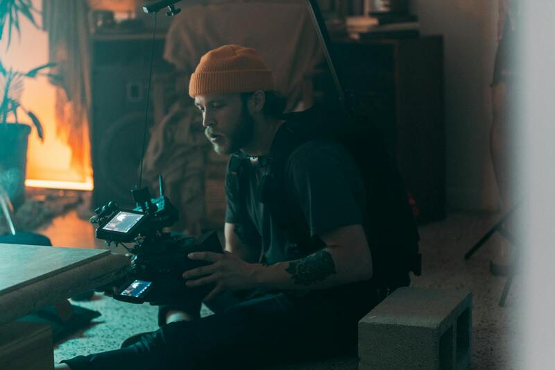
Post-flight, the importance lies in reviewing footage promptly to select the best visuals. Employing professional editing tools enhances colors, sharpness, and overall aesthetic appeal while maintaining a natural look. Techniques such as color correction and contrast adjustment can bring out the property's features more vividly and attractively.
Furthermore, consistent operational procedures include maintaining a log of flight data and footage, which assists in refining future shoots. This careful documentation ensures that each session builds upon previous experience, resulting in improved efficiency and image quality over time. Optimal results are often achieved through collaboration with seasoned drone pilots and post-production specialists who understand the nuances of real estate imagery.
Implementing Drone Photography Safely and Effectively
- Establish clear flight boundaries to avoid flying over prohibited zones or private property without consent.
- Monitor weather conditions continuously; avoid flights during high winds, rain, or fog, as these impair visibility and control.
- Keep flight paths predictable and maintain line-of-sight to ensure safe operation and better framing of shots.
- Use flight planning software for precise navigation, especially in complex or large-scale property shoots.
- Ensure that only trained and authorized personnel operate the drone, adhering to manufacturer instructions and operational best practices.
By following these comprehensive safety and operational standards, real estate professionals can guarantee the production of high-impact imagery that effectively highlights the property's unique features, attracting more potential buyers and streamlining the sales process.
Maximizing the Impact of Drone Images in Real Estate Listings
For real estate professionals aiming to elevate their property marketing, integrating high-quality drone images is becoming a vital strategy. Beyond capturing stunning aerial views, the strategic use of drone photography can showcase a property’s full appeal, from expansive outdoor spaces to neighborhood layouts, offering prospective buyers a comprehensive perspective that static images cannot provide.
One effective approach is combining wide-angle shots with detailed close-ups, creating a layered visual experience. Use aerial shots to display the property's boundaries, landscaping, and proximity to amenities, while mid-range images highlight key features like pools, patios, or unique architectural details. This balanced approach not only fosters a visual narrative but also emphasizes the property's desirable aspects, encouraging viewer engagement.
Additionally, the timing of drone shoots plays a crucial role. Shooting during peak daylight hours ensures optimal natural light, reducing shadows and highlighting the property's best features in vivid detail. For properties emphasizing outdoor living spaces or gardens, consider golden hour shots—shortly after sunrise or before sunset—to add a warm, inviting glow that can make the property stand out.
Incorporating 3D modeling or virtual tours built from drone footage can further enhance listings. These technologies enable prospective buyers to explore the property remotely, gaining a sense of space and layout that static images cannot offer. Such immersive experiences increase engagement and can accelerate the decision-making process, ultimately leading to faster sales.
To ensure these images serve their intended purpose, they should be integrated into a comprehensive marketing plan. This includes publishing high-resolution images across multiple platforms, from MLS listings to social media campaigns, ensuring maximum visibility. Consistent branding and professional presentation of drone imagery also contribute to establishing a credible, appealing image that attracts serious buyers.
Investing in professional post-production editing enhances drone footage by refining color balance, sharpness, and contrast. These adjustments help accentuate the property's desirable features and ensure consistency across all marketing visuals. Well-crafted images not only attract attention but also communicate a sense of quality and reliability, crucial traits for building trust with prospective clients.
Furthermore, the strategic placement of drone images within online listings and promotional materials enhances storytelling. Use aerial views early in the listing to grab attention, followed by interior shots and ground-level images that provide context and detail. This layered imagery creates an engaging visual journey, helping potential buyers envision themselves in the space and appreciate all the property's aspects.
As drone technology advances, capabilities such as 4K video and real-time streaming are becoming more accessible. These tools allow for more dynamic presentations, such as live virtual walkthroughs and interactive maps that highlight key property features in real time. Embracing these innovations ensures listings stay competitive and appealing in an increasingly digital real estate marketplace.
In summary, deploying drone images strategically within real estate marketing efforts plays a significant role in showcasing properties more effectively. When combined with professional editing, immersive virtual experiences, and integrated marketing channels, drone photography can dramatically enhance a property’s visibility and attractiveness, ultimately facilitating faster sales and higher valuations.