Importance of Aerial Photography in Real Estate
In the competitive Miami real estate market, high-quality visual content is essential for capturing the attention of potential buyers. Aerial house photography offers a distinctive advantage by providing comprehensive, captivating perspectives that traditional ground-level shots cannot. This method enables real estate professionals to highlight a property's exterior features, surrounding landscape, and overall location context in a manner that enhances visual appeal and marketability.
Utilizing aerial images can significantly improve the perception of a property’s size, layout, and unique features. Potential buyers often form impressions based on visual content, making first impressions crucial in real estate sales. An aerial view can showcase expansive lawns, waterfront access, proximity to amenities, and neighborhood features, giving buyers a clearer understanding of what the property offers.
Furthermore, aerial photography contributes to enhanced marketing outcomes. Listings with compelling aerial visuals tend to attract more views, generate greater interest, and achieve faster sales. This method supports comprehensive marketing strategies by providing diverse visual content that can be used across various platforms, including online listings, social media, and print advertisements.
Potential homeowners are increasingly relying on aerial imagery as their initial point of reference. These images help buyers to envisage the property's setting within its environment, assess accessibility, and appreciate the overall aesthetics. As a result, aerial house photography has become an indispensable tool for real estate agents aiming to stand out in Miami’s vibrant property market.
In sum, aerial photography in real estate combines advanced technology with strategic visual storytelling to produce a competitive edge. Its ability to showcase properties from a broader perspective provides a compelling reason for real estate professionals to incorporate aerial images into their listings, ultimately leading to better marketing outcomes and a faster sale process.
Types of Aerial Photography Equipment and Technology
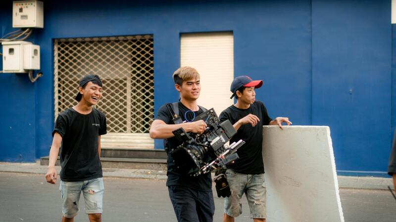
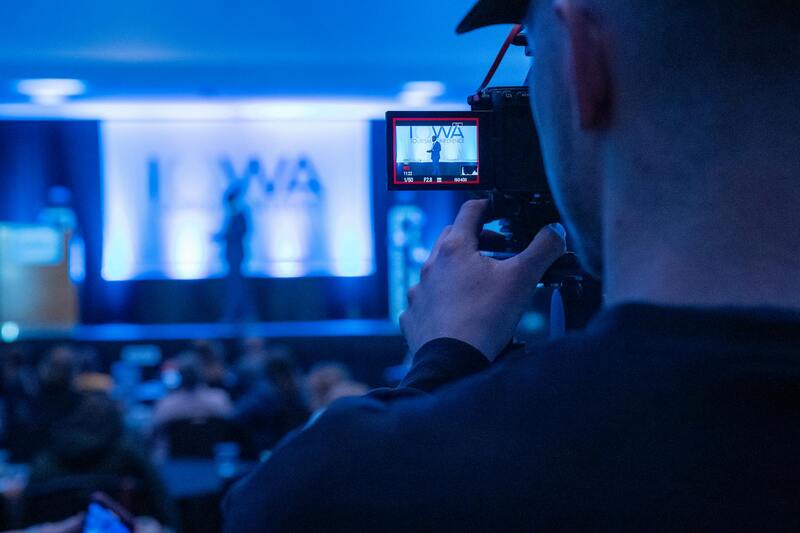
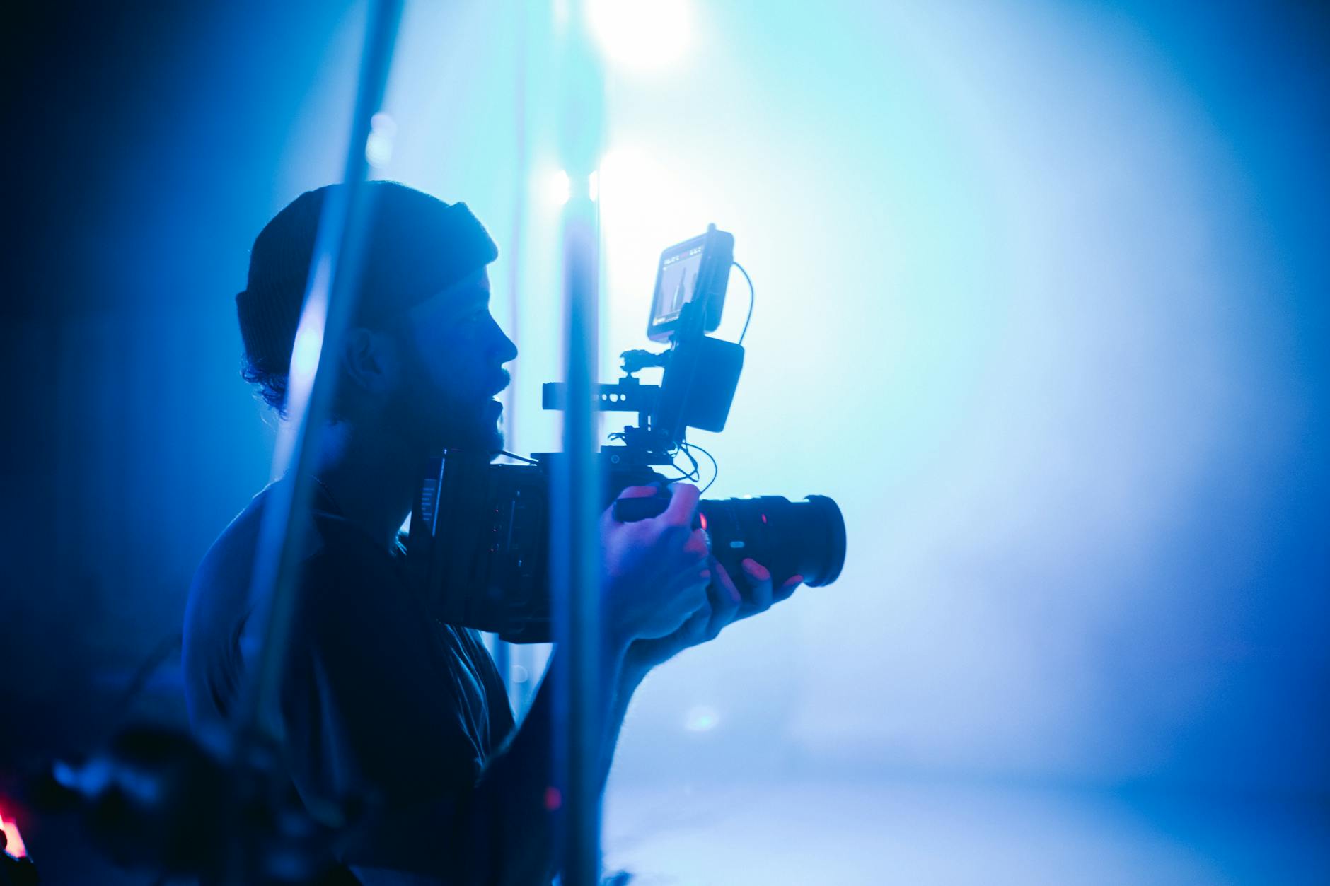
Choosing the right equipment is fundamental to capturing high-quality aerial house photography that effectively highlights property features and complements marketing efforts. The most common tool employed in modern aerial photography is the drone, which offers unparalleled flexibility and perspective. Advances in drone technology now provide models equipped with high-resolution cameras capable of capturing detailed images and 4K videos, essential for showcasing properties in the best light.
Professional-grade drones typically feature stable flight capabilities, GPS-assisted positioning, and obstacle avoidance systems, ensuring smooth and safe operations during shoots. These safety-enhanced features help photographers attain consistent, sharp images without risking damage or safety issues. Additionally, drones often come with interchangeable lenses, allowing for different focal lengths to achieve wide-angle shots or detailed close-ups.
Camera technology used in aerial photography has evolved significantly. High-megapixel sensors, optical image stabilization, and advanced gimbals enhance image clarity and stability. Many professionals opt for camera setups that support HDR (High Dynamic Range) imaging, which balances exposure in challenging lighting conditions to produce vibrant, natural-looking photos.
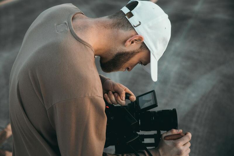
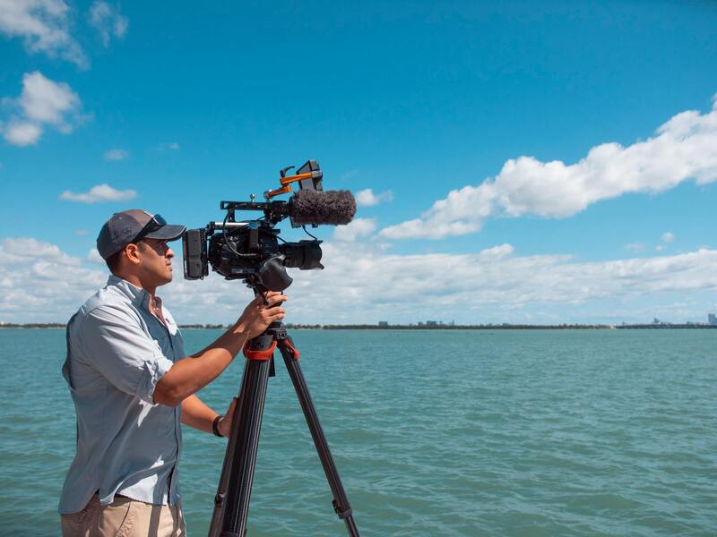
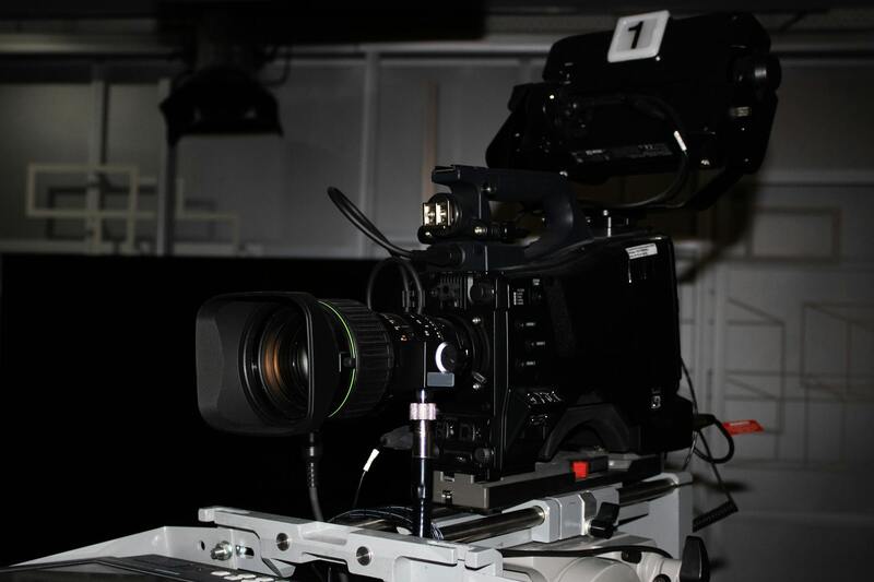
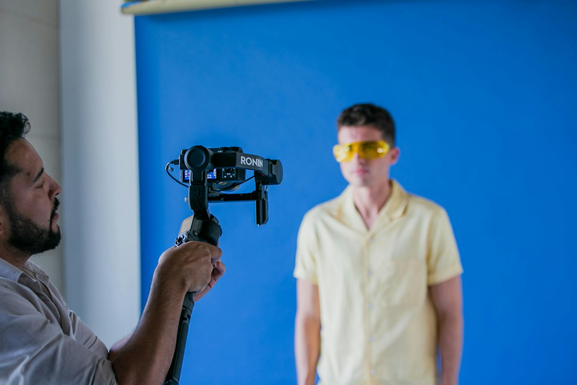
Beyond drones, other equipment such as lightweight handheld stabilizers and high-end cinematography cameras are utilized for specific shots or ground-based angles when necessary. Nonetheless, drones remain the primary and most efficient tool for capturing comprehensive aerial views of homes and their surrounding environments, presenting a full picture that strengthens real estate marketing campaigns.
Figures of Technology and Equipment
- High-resolution drones with 4K or 8K cameras
- Stabilized gimbals for smooth footage
- GPS and obstacle avoidance features
- Wide-angle and zoom lenses for varied perspectives
- Advanced image processing software for post-shoot editing
Types of Aerial Photography Equipment and Technology
In the realm of aerial house photography, the deployment of advanced equipment and cutting-edge technology is integral to capturing stunning, professional-grade images. Drones equipped with high-resolution cameras have revolutionized property visualization, enabling real estate agents and photographers to showcase homes from captivating perspectives that were once difficult to attain.
High-resolution drones are now standard in aerial photography, often outfitted with 4K or even 8K cameras. These cameras deliver crisp, detailed imagery that highlights the unique features of a property, whether it's the intricate landscape detailing or architectural highlights. Additionally, stabilization technology such as intelligent gimbals ensures that footage remains smooth and steady, even in windy conditions or during complex flight maneuvers, thus preventing motion blur and ensuring the highest image quality.
Modern aerial photography tools also incorporate several technological features designed to optimize shot quality and safety. GPS integration facilitates precise positioning, allowing for automated flight paths and repeatable shots, essential in creating consistent marketing imagery. Obstacle detection systems, such as LiDAR or visual sensors, help prevent collisions during flight, providing safer operation in complex environments or densely built neighborhoods.
Lens versatility is critical in capturing diverse perspectives. Wide-angle lenses are predominantly used to showcase entire properties and surrounding landscapes, creating a comprehensive visual narrative. Zoom lenses add flexibility by enabling close-up shots that emphasize specific architectural details or landscaping features without changing position or altitude.
Post-shoot editing software, such as advanced image processing tools, is employed to enhance photos further. These programs correct color discrepancies, optimize contrast, and refine details, ensuring the final images are vivid and attractive for listings. HDR (High Dynamic Range) imaging capabilities are also often integrated, balancing exposure across different areas in the frame to produce vibrant images even in challenging lighting conditions.
In addition to drones, ground-based stabilization equipment like handheld gimbals complements aerial shots by capturing smooth, professional-quality ground-level or interior shots. These tools are particularly useful for emphasizing the interior spaces of a property or providing alternative perspectives that cannot be achieved through aerial methods alone.
The integration of these sophisticated technologies supports real estate professionals in producing compelling visual content that captivates prospective buyers and enhances property appeal. As drone and camera technology continues to evolve, the potential for immersive and detailed aerial house photography expands, opening new possibilities for property presentation and digital marketing strategies.
Legal and Safety Considerations in Miami
When planning to capture aerial house images in Miami, it is essential to adhere to all operational protocols that ensure safety and compliance. This includes understanding the specific regulations governing aerial photography, drone operations, and airspace management within the city. Knowledge of local flight restrictions, no-fly zones, and controlled airspace areas helps prevent unauthorized aerial footage capture, fostering a secure environment for both operators and residents.
Operators must implement diligent safety measures during each shoot. This involves conducting pre-flight site assessments to identify obstacles such as power lines, tall trees, and other hazards that could impact drone operation. Maintaining a safe operational altitude and adhering to prescribed flight paths minimizes risks to property and individuals nearby. Additionally, establishing clear communication channels with property owners and neighboring residents ensures everyone is aware of the filming process and can take necessary precautions.
To uphold the integrity and smooth execution of aerial photography projects, operators should conduct routine equipment checks prior to flights. Ensuring drones are well-maintained and batteries are fully charged contributes to flight stability and image quality. Weather conditions, wind speed, and visibility levels are critical factors influencing flight safety and must be monitored consistently. Flying during adverse weather not only risks equipment damage but also jeopardizes safety and shot quality.
Furthermore, engaging with certified pilots who possess comprehensive knowledge of Miami’s airspace ensures operations are conducted within proper guidelines. Many professional aerial photography service providers in Miami are versed in the latest safety protocols and regulatory requirements, which empowers them to execute shoots effectively while maintaining the safety of all involved.
Beyond operational safety, respecting community standards by avoiding disruptive noise and respecting property boundaries contributes to a positive reputation for aerial house photography providers. Careful planning and adherence to safety practices facilitate the creation of stunning aerial images that showcase Miami’s picturesque homes without undue interference or disturbance.
By integrating these safety and operational considerations, professionals in Miami can deliver high-quality, engaging aerial images that effectively highlight property features while maintaining respectful and secure practices. This comprehensive approach fosters continued trust and professionalism within the realm of aerial house photography.
Utilizing Advanced Drones and Camera Systems
Modern aerial house photography in Miami relies heavily on sophisticated drone technology equipped with high-resolution cameras. These unmanned aircraft systems (UAS) are optimized for capturing detailed images from varying altitudes, allowing photographers to showcase entire properties with stunning clarity. Drone models such as the DJI Inspire 2 or Mavic 3 Cine offer stabilized gimbals, multiple sensors, and adjustable aperture settings, ensuring sharpness and color accuracy across different lighting conditions.
Implementing multispectral imaging sensors is also gaining popularity, as they provide additional layers of information about property landscapes. Infrared and near-infrared cameras enable the assessment of vegetation health or moisture levels, which can be instrumental when promoting properties with extensive outdoor spaces.
Utilizing Software for Pre-Flight Planning and Post-Processing
Effective aerial photography begins long before the drone takes off. Flight planning software such as DJI GS Pro or Litchi allows pilots to map flight paths with automated waypoint navigation, ensuring comprehensive coverage of the property while maintaining safety and compliance. These tools enable the precise positioning and altitude settings that optimize shot composition.
Once images are captured, professional editing software like Adobe Photoshop and Lightroom is essential for refining the images. Adjustments in exposure, contrast, and color balance can significantly enhance visual appeal. Additionally, HDR (High Dynamic Range) techniques can combine multiple exposures to reveal details in both shadows and highlights, creating balanced, striking visuals.
Implementing Consistent Shooting Standards
Adhering to standardized camera settings and shooting protocols ensures consistency across aerial images, which is crucial for professional listings. This includes maintaining uniform shutter speeds, ISO levels, and aperture settings to guarantee sharpness and proper exposure regardless of lighting conditions.
Establishing templates for angles and framing enables photographers to produce a cohesive visual narrative for each property, emphasizing unique architectural features and surrounding landscapes. Employing systematic approaches to capture multiple angles—from wide vistas to detailed close-ups—provides a comprehensive visual story for prospective buyers.
Advanced Techniques for Capturing Aerial Property Shots in Miami
To achieve high-quality aerial house photography that truly captures the essence of Miami properties, professionals employ a variety of advanced techniques. Drone pilots often utilize dynamic flight paths to showcase different angles and perspectives, emphasizing the property's layout, dimensions, and surrounding landscape. Using programmable flight plans allows for consistent and repeatable shots, which is especially valuable for comparative analysis or updates.
Integrating high-resolution cameras with stabilized gimbals ensures crisp, clear images free from motion blur, even in windy conditions typical of Miami. The employment of polarized filters can also minimize glare from water features or glass surfaces, providing a more detailed and vivid visual representation.
Optimal timing plays a significant role in capturing compelling images. Golden hour, shortly after sunrise or before sunset, offers warm natural lighting that enhances building facades and landscaping. Overcast days can also provide diffused light, reducing harsh shadows and highlighting finer architectural details.
Beyond static photos, capturing aerial videos—such as flyovers of the property—can deliver a dynamic perspective that engages potential buyers online. Time-lapse sequences can also be effective, showing the property's surroundings over different times of the day, emphasizing neighborhood activity or scenic views.
It is important to utilize software tools that facilitate pre-visualization and mission planning. These tools help in assessing flight paths, obstacle avoidance, and shot sequencing, ensuring both safety and shot efficiency. For Miami's diverse terrains and urban infrastructure, meticulous planning minimizes risks and maximizes the visual impact of each shot, ultimately producing captivating imagery that elevates property listings.
Choosing a Local Aerial Photography Service in Miami
Selecting a professional aerial photography service in Miami that specializes in real estate is essential for achieving high-quality, compelling visuals that accurately showcase a property’s best features. When evaluating potential providers, it is important to consider their experience with drone operations specifically tailored to real estate marketing. A seasoned Miami-based agency will have an in-depth understanding of local geographic and environmental factors, such as urban density, water bodies, and weather patterns, which can influence flight planning and shot execution.
Expertise in utilizing the latest equipment and advanced imaging techniques ensures that the imagery captured will be sharp, vibrant, and strategically composed. Professionals who keep abreast of recent technology developments typically employ high-resolution digital cameras mounted on drones, along with stabilized gimbals for smooth footage. Their familiarity with Miami's unique property styles and neighborhoods also allows for targeted shots that resonate with prospective buyers.
Another critical aspect is the firm's adherence to established operational guidelines that prioritize safety and procedural accuracy. An experienced local provider should demonstrate a comprehensive approach to mission planning — assessing weather conditions, obstacle mapping, and optimal flight timings. This thorough preparation minimizes disruptions and guarantees the delivery of consistent, high-quality images.

Client testimonials and portfolio samples serve as valuable indicators of their ability to produce impactful visuals. Reviewing their previous work not only offers insight into their technical proficiency but also showcases their artistic eye and understanding of market-driven imaging strategies. Additionally, choosing a company that offers comprehensive packages—including both imagery and video content—can further optimize marketing efforts and attract more interest from potential buyers.
Finally, transparency regarding pricing, turnaround times, and licensing rights simplifies the decision-making process. A trusted local agency will effectively communicate all deliverables and ensure that the images comply with the standards required for multiple listing services and online platforms. With the right partner, real estate professionals can leverage striking aerial visuals to create a compelling online presence, capture attention, and ultimately accelerate property sales in Miami’s competitive market.
Proper Post-Processing and Optimization of Aerial Images
To maximize the impact of aerial house photography, meticulous post-processing plays a crucial role. High-resolution aerial images need to be refined to ensure they highlight the property's best features while maintaining a natural appearance. Adjustments to brightness, contrast, and color balance can bring vibrancy to each shot, making sure the property stands out in listings.
Using professional editing software, aerial images can be enhanced without compromising their authenticity. Techniques such as perspective correction are essential to ensure that the horizon remains level, eliminating any skewing caused by camera angles during flight. This correction contributes to a more polished, professional look that appeals to viewers and potential buyers.
In addition, removing minor blemishes—like distracting shadows or unwanted objects—can significantly improve the visual appeal. Drone operators and editors should work together to ensure clarity, sharpness, and dynamic range are optimized for online viewing. High-quality edits not only create a striking first impression but also ensure consistency across a property’s marketing materials, providing a cohesive visual narrative that attracts serious inquiries.
Integrating Aerial Photography into Comprehensive Marketing Campaigns
In the digital age, aerial imagery serves as a key component of a multifaceted marketing strategy. When integrated seamlessly into online listings, social media content, virtual tours, and property websites, aerial photos enhance the overall presentation, offering prospective buyers a unique perspective that ground-level shots cannot provide.
High-quality aerial visuals can be paired with 3D virtual tours or drone-mounted video walk-throughs, creating an immersive experience that allows viewers to explore the property’s surroundings and layout from multiple angles. This approach fosters greater interest and engagement, reducing the time a property remains on the market.
Furthermore, incorporating aerial imagery into targeted advertising campaigns amplifies the property’s visibility across various platforms. Strategically placed, compelling visuals can help reach specific buyer demographics, such as investors or luxury home seekers, who value comprehensive, attractive presentations.
Choosing an Experienced Local Provider for Aerial House Photography
Partnering with a skilled, local aerial photography service ensures access to the latest equipment, industry-best practices, and an understanding of Miami’s unique real estate landscape. A local provider familiar with the area can better plan flight routes, consider local regulations, and capture images that truly showcase the neighborhood’s appeal.
Engaging professionals with a proven track record guarantees high-quality outputs aligned with market standards. Such providers often offer tailored packages that include both imagery and video content, helping real estate agents and property owners craft comprehensive marketing campaigns that highlight the property’s best features from the sky.