Overview of Drone House Photography
Drone house photography has rapidly become a vital component of contemporary real estate marketing, particularly in vibrant markets such as Miami. Utilizing advanced drone technology equipped with high-resolution cameras allows real estate professionals to capture breathtaking aerial views of properties, offering prospective buyers a comprehensive perspective of a home's layout, surroundings, and neighborhood context. This innovative approach enhances listing appeal by depicting properties from angles previously unattainable through traditional photography methods.
In the Miami real estate scene, drone house photography has gained significant traction due to the city’s diverse architecture, sprawling waterfront properties, and lush landscapes. Buyers and investors are increasingly seeking immersive visual content that highlights unique property features and the lifestyle associated with Miami living. Drone imagery provides an elevated marketing experience, showcasing not just the home but its relation to the environment, amenities, and local attractions.
The integration of drone technology in real estate marketing is driven by the need for high-quality visual content that sets listings apart in a competitive market. Miami, known for its luxurious residences and vibrant neighborhoods, benefits particularly from aerial imagery that emphasizes proximity to beaches, marinas, and shopping districts. As the demand for compelling visuals grows, drone house photography continues to evolve as a strategic tool for real estate agents and property developers looking to attract discerning clients.
Technical Aspects of Drone House Photography
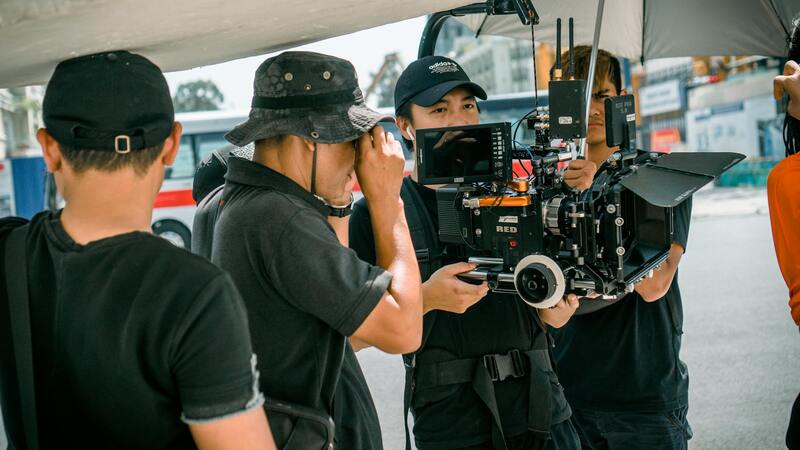
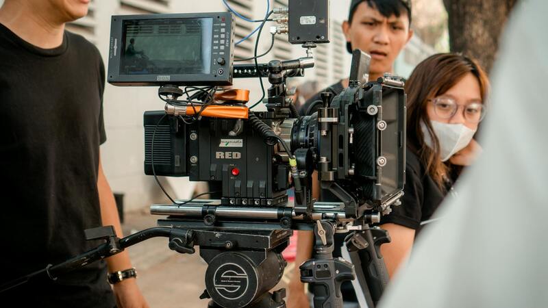
Executing high-quality drone house photography requires an understanding of several technical elements crucial to capturing compelling aerial imagery. First and foremost, selecting the right drone equipped with a stabilized gimbal and a high-resolution camera ensures sharp, professionally finished photos. Modern drones often feature advanced camera sensors capable of shooting in 4K or higher, which enables capturing detailed images essential for real estate marketing.
Optimal flight planning is vital to maximize image quality and safety. This involves determining the best angles and altitudes that highlight unique property features while maintaining a comprehensive view of the surroundings. Flight paths should be meticulously mapped, considering lighting conditions, especially the golden hours of early morning or late afternoon, to achieve natural and appealing lighting in photographs.
Weather conditions play a critical role. Clear, calm days provide stable conditions for drone operation and minimize disruptions caused by wind or rain, which can compromise image clarity or safety. Operators should always monitor weather forecasts diligently to ensure suitable flying conditions.
Camera settings, including ISO, shutter speed, and aperture, must be carefully adjusted to match environmental lighting and the desired visual effect. Overexposed or underexposed images can diminish the professionalism of the final product. Post-flight, raw images should be processed using professional software to enhance clarity, correct color balance, and optimize contrast.
Best Practices for Drone House Photography
Implementing best practices ensures consistency and excellence in drone house photography. Pre-flight preparations include a comprehensive site survey to identify optimal shooting angles, potential hazards, and no-fly zones. Clear communication with property owners about the drone operation schedule and safety procedures helps facilitate smooth sessions.
Adhering to a steady flight technique minimizes motion blur and maintains focus on key property features. Using intelligent flight modes and automated waypoint functions can enhance precision and repeatability during shoots.
Post-shoot, reviewing images for quality assurance allows panoramic views, close-up details, and expansive shots to be selected systematically. Diversifying shot types—including wide-angle, low-altitude, and high-altitude captures—creates a dynamic visual presentation.
Respecting privacy by avoiding intrusive angles or capturing personal spaces preserves trust and professionalism, fostering positive client relationships.
Technical Aspects of Drone House Photography
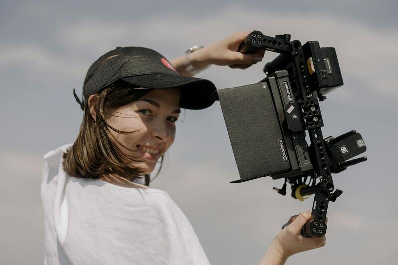
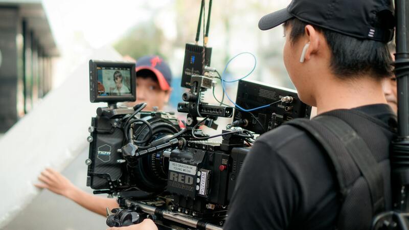
Achieving high-quality drone house photography hinges on a detailed understanding of the technical parameters involved in drone operation. Different drones come equipped with varying camera specifications, sensor sizes, and stabilization systems, which influence the clarity and sharpness of the images captured. Selecting a drone with a high-resolution camera and a stabilized gimbal helps ensure crisp, professional visuals that showcase the property's best features. Additionally, understanding flight parameters such as altitude, speed, and angle can significantly impact the composition and perspective of shots. Flying at optimal heights allows for capturing expansive views, while lower altitudes provide intricate details of architectural elements.
Maintaining precise control over the drone is essential. Pilots should optimize camera settings prior to flight, including ISO, shutter speed, aperture, and white balance, to suit lighting conditions. Proper exposure settings prevent images from being overexposed or underexposed, which can compromise post-processing flexibility. For instance, managing dynamic range effectively is vital when shooting in areas with varying light intensities, such as shaded regions versus sunlit facades.
Furthermore, understanding the drone’s flight modes can help in executing complex shots. Automated waypoint flights enable the drone to follow predetermined paths, ensuring consistent coverage of different angles and elevations. This not only improves efficiency but also enhances the accuracy of capturing specific views essential for marketing purposes.
Implementing Official and Proper Methods for Drone House Photography in Miami
Achieving superior drone house photography begins with employing reputable techniques that adhere to established industry standards. Using high-quality drones equipped with advanced stabilization systems ensures the capture of sharp, clear images that accurately reflect the property's features. These drones often feature adjustable camera mounts, allowing operators to customize angles and perspectives, thus highlighting unique architectural elements and property layouts with precision.
Understanding the importance of optimal flight planning is essential. Pre-visualizing the desired images using detailed flight plans can ensure comprehensive coverage of the property. These plans incorporate specific waypoints and altitudes, enabling the drone to systematically capture images from multiple angles without overlapping or missing critical views. Utilizing GPS-based autonomous flight modes facilitates consistent image quality and efficient coverage, especially when conducting multiple shoots or revisiting locations for updates.
Maintaining an emphasis on camera settings tailored for outdoor residential shots is crucial. Shooting during optimal lighting conditions, such as early morning or late afternoon, reduces harsh shadows and overexposure. Manual control over ISO, aperture, and shutter speed allows photographers to adapt to varying light levels and capture evenly lit images. Using polarizing filters further enhances sky contrast and reduces reflections from windows or water features, delivering more vibrant and detailed visuals.
Furthermore, consistent calibration of drone cameras before each shoot guarantees uniform image quality, avoiding exposure discrepancies. Employing proper flying techniques, such as smooth, steady movements and maintaining steady altitude, ensures the images are free from motion blur. These practices contribute significantly to producing professional-grade visuals that appeal to prospective buyers and marketing channels.
Beyond technical execution, it’s vital to document aircraft path and camera angles meticulously. This documentation facilitates reproducibility for future shoots, maintains consistency across marketing materials, and supports detailed comparisons over time. When integrated into property listings, such high-caliber imagery enhances visual storytelling, drawing potential clients and investors through compelling visual narratives.
Adhering strictly to official operational protocols, including regular drone maintenance, pre-flight safety checks, and adherence to designated flight corridors, ensures a seamless shooting process. These practices not only maximize the quality of the images but also uphold the professional standards expected in the Miami real estate market for drone house photography.
Technical Aspects of Drone House Photography
Achieving high-quality drone house photography hinges on a combination of advanced equipment, meticulous planning, and precise execution. Sophisticated drone cameras equipped with high-resolution sensors enable capturing intricate details of properties, including roof structures, landscape features, and surrounding amenities. To enhance image clarity and vibrancy, operators often calibrate camera settings such as ISO, shutter speed, and aperture prior to each shoot, ensuring optimal exposure regardless of varying lighting conditions.
Maintaining consistent altitude and flight paths is critical for producing uniformly scaled images that offer an accurate portrayal of the property's dimensions. Smooth, steady drone movements are essential to prevent motion blur, which can compromise the professionalism of the visuals. Many operators employ gimbals and stabilization systems to achieve crisp, distortion-free images even in windy conditions or when executing complex flight maneuvers.
Documentation of flight plans, including designated paths and camera angles, helps create reproducible shots over multiple sessions or as part of ongoing marketing campaigns. This process facilitates consistency in visual storytelling, allowing potential buyers to receive a clear, comprehensive view of the property. Moreover, adhering to established protocols for drone calibration and maintenance minimizes technical glitches and ensures the longevity of the equipment.
In addition, pre-flight safety checks—such as verifying battery levels, GPS signal strength, and sensor functionality—are routine practices that support smooth operations. Properly planned flyovers, respecting no-fly zones and following designated flight corridors, contribute to an efficient shooting process while safeguarding against potential disruptions. Integration of these technical strategies results in visually striking and accurate representations of properties, which are instrumental in high-stakes real estate marketing.
Technical Aspects of Drone House Photography
Mastering the technical elements of drone house photography is fundamental to achieving high-quality images that effectively showcase a property. This process begins with selecting the appropriate drone equipment, emphasizing models equipped with high-resolution cameras and advanced stabilization features. A drone's camera settings—such as aperture, ISO, shutter speed, and white balance—must be calibrated meticulously before each session to suit varying lighting conditions and desired effects.
Flight planning is another critical component. Establishing precise flight paths and camera angles ensures comprehensive coverage of the property, capturing both the grandeur and intricate details. Pre-programmed flight routes can deliver consistent and repeatable shots, which are especially valuable for ongoing marketing campaigns or comparative analyses over time. Moreover, understanding the optimal altitude for capturing context without distortion helps convey spatial relationships accurately.
Achieving stable and crisp imagery hinges on the integration of gimbals and stabilization systems. These technologies compensate for drone movements caused by wind or sudden maneuvers, resulting in smooth, distortion-free visuals. During flight, real-time monitoring of camera feeds allows pilots to make immediate adjustments to framing and focus, ensuring that each shot aligns with the planned aesthetic and informational goals.
Flight execution must also incorporate strict adherence to safety protocols, including maintaining line-of-sight with the drone and respecting no-fly zones. This vigilance prevents accidental intrusions into restricted airspace and reduces the risk of mishaps. Routine pre-flight checks—assessing battery levels, GPS reliability, and sensor functionality—are essential for a seamless operation. These steps collectively contribute to the collection of professional-grade imagery that faithfully represents the property's unique features and surroundings.
Additionally, advanced photographers leverage high-dynamic-range (HDR) imaging techniques to enhance detail in areas with contrasting light levels, such as shaded regions versus sunlit facades. The use of filters, such as polarizers, can further minimize reflections and deepen color saturation, resulting in more impactful visuals. Post-flight review is an indispensable phase where operators verify image quality and select the best shots for editing.
Technical Aspects of Drone House Photography
Mastering the technical fundamentals of drone house photography is essential for capturing high-quality images that effectively showcase a property's features. This involves a deep understanding of equipment setup, flight parameters, and imaging techniques. Proper calibration of drone sensors and cameras ensures color accuracy, sharpness, and overall image fidelity. It is crucial to select the appropriate camera settings, including ISO, shutter speed, and aperture, tailored to lighting conditions to mitigate issues like overexposure or motion blur.
Using high-resolution cameras attached to drones allows for detailed imagery capable of illustrating both broad property layouts and fine exterior details. Capturing images at various angles and altitudes offers versatile perspectives and highlights unique architectural elements. To optimize lighting conditions, flights are often scheduled during early mornings or late afternoons when natural light is softer, reducing harsh shadows and glare.
Stabilization systems such as 3-axis gimbals are fundamental components that facilitate smooth, distortion-free footage, even in windy conditions. Coupled with advanced autopilot systems, they enable precise navigation and framing during flight. Maintaining a consistent height and angle ensures uniformity across images, which is vital for creating cohesive visual narratives of the property.
Another critical aspect involves managing wind and atmospheric conditions. Experienced pilots utilize real-time environmental data, adjusting flight paths to minimize motion artifacts. Implementation of obstacle avoidance sensors enhances flight safety, reducing the risk of accidents when navigating around trees, power lines, or other obstructions near residential areas.
Utilizing high-dynamic-range (HDR) imaging techniques further enhances the visual depth of drone photographs. By capturing multiple exposures and blending them during post-processing, HDR methods reveal details in both shadowed and brightly lit regions, resulting in well-balanced images that accurately represent the property's true appearance.
In addition to raw image capture, deploying filters such as polarizers can help eliminate reflections from windows or water surfaces, and deepen the saturation of sky blues and greenery, yielding more vibrant visual content. Routine pre-and post-flight checks, including assessing battery life, sensor calibration, and camera functionality, are indispensable for consistent, professional results.
Effective drone house photography also involves meticulous flight planning. This includes defining flight paths that maximize property coverage, setting appropriate altitudes to balance detail with overall composition, and ensuring all flights are conducted within the visual line of sight. By coordinating these elements, photographers achieve visually compelling images that serve as powerful marketing tools, attracting potential buyers and highlighting each property's unique charm.
Technical Aspects of Drone House Photography
Executing high-quality drone house photography requires a comprehensive understanding of the technical components that influence image clarity, composition, and overall aesthetic appeal. Modern drone systems are equipped with advanced stabilization technology, such as gimbals, which ensures smooth footage and sharp still images despite wind or minor turbulence. Selecting a drone with a high-resolution camera sensor—preferably 20 megapixels or higher—can capture intricate details of the property, from architectural features to landscaping nuances.
Optimal flight planning is critical to maximize coverage and achieve desired perspectives. This entails determining appropriate flight altitudes: higher elevations can showcase the property's surroundings and layout, while lower altitudes reveal finer architectural details. Flight paths should be carefully mapped to cover all angles, including front, rear, sides, and overhead shots, ensuring no area is overlooked.
Lighting conditions significantly affect the quality of drone images. Shooting during the golden hours—shortly after sunrise and before sunset—provides soft, diffused light, reducing harsh shadows and glare. Conversely, midday sunlight can cause overexposure and high contrast, which should be mitigated through camera settings or post-processing techniques.
Camera settings must be optimized for each shoot. Adjustments to ISO, shutter speed, and aperture play critical roles in capturing sharp, balanced images. Using manual mode allows precise control over exposure, especially in variable lighting conditions prevalent in outdoor environments.
In addition to capturing images, integrating multiple exposures through high-dynamic-range (HDR) imaging techniques can reveal details in both shadows and highlights, producing well-balanced visuals that accurately reflect the property's appearance. This process involves capturing several images at different exposures and blending them during post-processing to create a composite that embodies the full tonal range.
Best Practices for Drone House Photography
- Conduct thorough pre-flight site assessments to identify potential obstacles and plan safe flight paths.
- Use GPS-assisted flight modes to enhance stability and positioning accuracy.
- Maintain visual line of sight at all times to ensure precise control and safety.
- Coordinate flight times to optimize lighting conditions and minimize shadows.
- Capture a variety of angles, including aerial shots, close-ups of architectural details, and wide landscapes.
- Adhere to recommended altitude guidelines to obtain a mixture of contextual and detailed imagery.
- Utilize filters, such as polarizers or ND filters, to improve image quality by reducing reflections and controlling exposure.
- Implement systematic post-flight checks, including battery, sensor calibration, and data storage verification.
High-quality drone output can be achieved through consistent maintenance of equipment, meticulous planning, and adherence to optimal shooting techniques. Skilled operators leverage experience and technical knowledge to capture compelling visuals that effectively showcase properties’ unique qualities and surroundings.