Overview of Drone Realty Photography
Drone realty photography has become an essential component in the modern real estate marketing landscape, transforming how properties are showcased to prospective buyers. Utilizing unmanned aerial vehicles (UAVs), agents and property owners can capture high-resolution aerial images and videos that deliver a comprehensive view of a property’s exterior and surrounding landscape. This innovative approach allows potential buyers to experience a property beyond static images, providing a dynamic perspective that highlights unique architectural features, expansive land, scenic views, and the overall context of the property within its environment. Such visuals are particularly impactful in competitive markets, where high-quality imagery can significantly boost the appeal of a listing and make it stand out.
Employing drone photography in real estate marketing not only enriches listings but also offers advantages that traditional photography methods cannot match. For instance, aerial shots facilitate a comprehensive depiction of property size, layout, and landscape intricacies, enabling potential buyers to grasp the full scope of a property’s potential at a glance. This detailed visual presentation helps facilitate informed decision-making and reduces the number of in-person visits required, streamlining the overall sales process. Additionally, the immersive quality of drone footage can evoke an emotional response, fostering a stronger connection between the viewer and the property.
Furthermore, drone realty photography expedites the marketing process by creating engaging content for listing websites, social media platforms, and virtual tours. As the real estate market continues to evolve, embracing drone technology has proven to be a vital strategy for agents seeking to enhance property visibility and attract serious buyers. With the capacity to capture both wide-angle shots and detailed close-ups from various altitudes, drone imagery provides a versatile and comprehensive tool for real estate professionals aiming to showcase properties effectively and efficiently.
Advantages of Using Drones for Property Showcasing
Utilizing drone technology to capture aerial imagery offers real estate professionals an unparalleled advantage in marketing properties. The ability to produce high-resolution aerial photographs and videos enables viewers to appreciate the full scope of a property, including land size, landscape features, and exterior layouts, from multiple vantage points. These perspectives are difficult to replicate with traditional ground-based photography, making drone footage a compelling addition to property listings.
One of the primary benefits of incorporating drone imagery is its capacity to highlight unique property features. For instance, expansive gardens, swimming pools, outbuildings, or surrounding natural landscapes can be showcased in their entirety, providing potential buyers with a comprehensive understanding of the property’s environmental context. This holistic visual approach fosters a greater emotional connection and helps viewers envision themselves living there.
Moreover, aerial footage can dramatically improve a property's marketability. Stunning visuals tend to attract more attention on digital platforms, from listing websites to social media channels. When potential buyers encounter high-quality, immersive visuals, they are more likely to engage and consider scheduling in-person visits. Additionally, these captivating images can serve as a compelling storytelling tool, illustrating a property's lifestyle appeal and unique selling points.
Another significant advantage is the ability to create dynamic, moving content through aerial videos. Such videos can give viewers a virtual tour, traversing the property’s exterior and surrounding areas, offering a sense of scale and flow that static images cannot match. This immersive experience can significantly elevate the perceived value of a listing and boost overall engagement.
Enhancing Marketing Strategies through Drone Imagery
Drone-based imagery integrates seamlessly into modern marketing campaigns by providing versatile content for various platforms:
- Listing Websites: Eye-catching aerial shots immediately attract potential buyers’ attention, encouraging further exploration of the property details.
- Social Media Campaigns: Short drone videos or panoramic images can be leveraged for targeted advertising, increasing audience reach and engagement.
- Virtual Tours: Incorporating aerial footage into virtual walkthroughs provides a comprehensive view, making remote prospects more inclined to consider a physical visit.
- Brochures and Print Materials: High-quality aerial images add visual appeal, elevating the professionalism and attractiveness of marketing collateral.
Overall, drone realty photography not only enhances aesthetic appeal but also streamlines the marketing process, allowing real estate agents to present properties in the most compelling manner possible. As the demand for immersive and visually engaging content increases, integrating drone technology becomes a strategic necessity for effective property showcasing in a competitive market.
Overview of Drone Realty Photography
Drone realty photography has revolutionized the way properties are showcased by offering a fresh perspective that ground-level photos often cannot achieve. Utilizing advanced unmanned aerial vehicles (UAVs), real estate professionals can capture stunning visuals of a property’s exterior, surrounding landscape, and neighborhood features from high altitude angles. These aerial images and videos provide a comprehensive view that highlights the property's scale, layout, and unique features, making listings more compelling and informative for prospective buyers.
This technology enables real estate agents and property owners to present properties with an added dimension of depth and context. Whether it's a sprawling estate, a beachfront condo, or a commercial space, drone footage can effectively communicate the property's size and setting, helping potential buyers visualize themselves within the space. As a result, drone photography has become an integral part of modern real estate marketing strategies, attracting attention and fostering engagement across digital platforms.
Advantages of Using Drones for Property Showcasing
- Enhanced Visual Appeal: Drone footage offers breathtaking aerial views that stand out in crowded online listings, capturing attention immediately.
- Comprehensive Property Presentation: Capture multiple angles and perspectives, including hard-to-reach vantage points such as rooftops and expansive yards.
- Increased Buyer Engagement: Dynamic videos and panoramic shots motivate potential buyers to spend more time exploring the listing, increasing the likelihood of inquiries and visits.
- Cost Efficiency: Compared to traditional methods like helicopter shoots or extensive ground photography, drone technology provides a more affordable solution without sacrificing quality.
- Time Savings: Rapid deployment and quick turnaround times facilitate faster marketing campaigns and timely property sales.
- Neighborhood Context: Drones can showcase the property's proximity to amenities, parks, schools, and transportation hubs, offering a richer understanding of the location's appeal.
Integration into Marketing Campaigns
Drone imagery seamlessly complements various digital marketing efforts, significantly amplifying reach and effectiveness. For example, aerial shots and videos can be incorporated into listing websites to immediately draw viewers into the property's visual narrative. Short, engaging drone videos are highly effective on social media platforms, where visual content tends to perform best. Virtual tours enriched with drone footage provide prospective buyers with immersive experiences that simulate on-site visits, especially beneficial for remote or international clients.
Furthermore, high-resolution aerial images elevate print marketing materials like brochures and flyers, imbuing them with a professional polish that enhances the property’s perceived value. These integrated strategies not only increase visibility but also foster a stronger emotional connection with potential buyers, ultimately accelerating the sales process.

Legal and Regulatory Considerations in Miami
Engaging in drone realty photography within Miami requires adherence to specific rules and best practices to ensure safety and compliance. This involves understanding the regulations set forth by local authorities, which are designed to promote responsible drone operation while maximizing the benefits of aerial imaging. Operating a drone for real estate purposes involves registering the equipment with appropriate agencies, obtaining necessary permits for commercial use, and following designated flight restrictions. These regulations help to mitigate risks related to airspace management, privacy concerns, and public safety.
It is crucial to stay informed about Miami’s specific airspace requirements, especially around busy urban areas, airports, and protected zones. These areas often have designated no-fly zones or require special permissions, which must be secured in advance of any shoot. Ensuring compliance reduces the likelihood of disruptions, penalties, or legal complications that could interfere with property marketing efforts.
In addition to airspace regulations, drone operators should establish clear flight plans that include pre-flight risk assessments and detailed contingency protocols. Proper planning enhances operational safety and helps to deliver high-quality imagery without unforeseen obstacles. It is equally important to respect privacy boundaries by avoiding capturing images of adjacent properties or private spaces without consent, safeguarding the privacy and rights of individuals in the vicinity.
Many professional drone service providers in Miami maintain partnerships with licensed pilots who are well-versed in local regulations. They also utilize up-to-date technological tools like geofencing and airspace monitoring apps to ensure compliant operation. These practices not only support legal adherence but also optimize flight logistics and image capturing capabilities, delivering superior results for real estate marketing campaigns.
By choosing experienced drone operators who prioritize regulatory compliance, property sellers and real estate professionals can enhance their visual marketing strategies with confidence. Observing these best practices fosters a professional image, streamlines project execution, and yields stunning, legally compliant imagery that boosts property appeal and attracts potential buyers effectively. The fusion of technical expertise, regulatory knowledge, and local awareness ensures seamless integration of drone photography into your real estate marketing efforts within Miami.
Proper Flight Planning and Risk Management
Executing effective drone realty photography in Miami necessitates meticulous flight planning. Before any shoot, professionals conduct comprehensive site assessments to identify potential obstacles, such as power lines, trees, or neighboring structures. Establishing precise flight paths minimizes risks and ensures safety throughout the operation. A thorough understanding of the property layout, combined with mapping tools and software, allows pilots to plan optimal angles and altitudes for capturing compelling visuals.
Risk management extends beyond technical planning. Operators are expected to perform pre-flight inspections of equipment, verify weather conditions, and have contingency plans in place. For instance, sudden shifts in weather, especially in Miami’s tropical climate, can impact drone stability and image quality. Continuous monitoring of weather forecasts and real-time sensor data safeguards against unexpected hazards during the flight process.
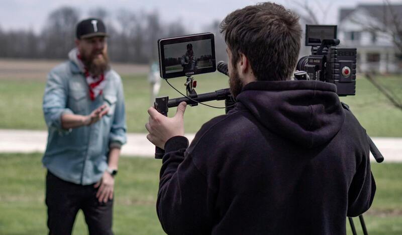
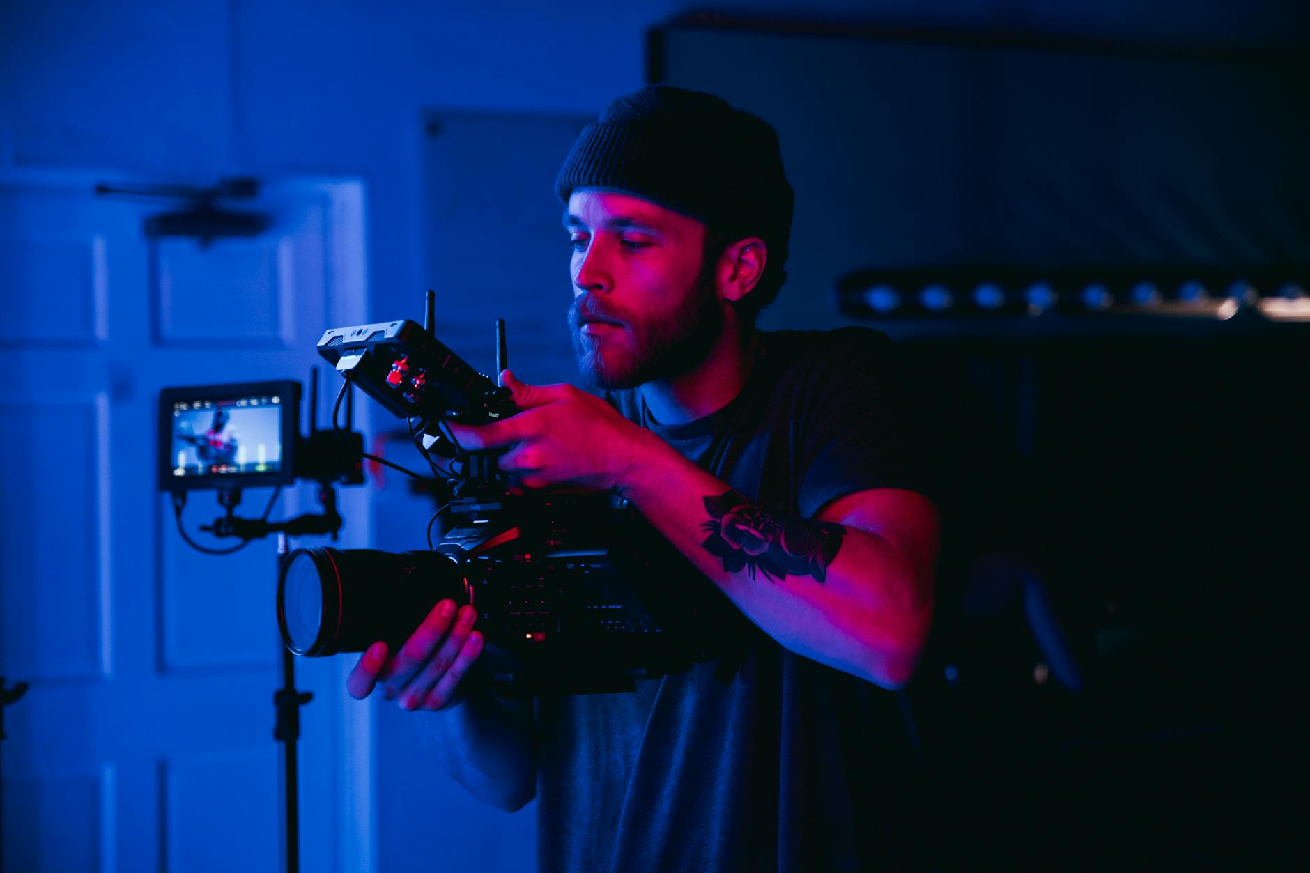
Engaging Qualified and Experienced Drone Pilots
The quality of drone realty photography largely depends on the expertise of the pilot. Experienced operators possess a nuanced understanding of aerial photography techniques, including optimal angles, flight speeds, and camera settings that highlight a property's best features. In a competitive real estate market like Miami, hiring seasoned professionals ensures that each shot captures the property in its most appealing light, whether through dramatic aerial perspectives or detailed close-ups.
Furthermore, skilled pilots adapt to changing conditions on-site, making real-time adjustments to achieve superior results. Their familiarity with local airspace and private property considerations enables them to operate efficiently while respecting privacy boundaries. Many reputable Miami-based drone service providers prioritize talent with extensive training and a proven track record in real estate photography.
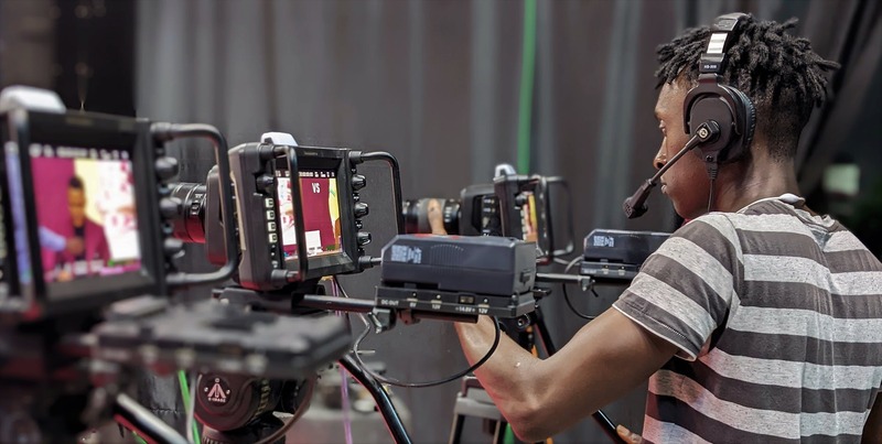
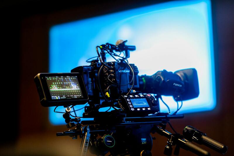
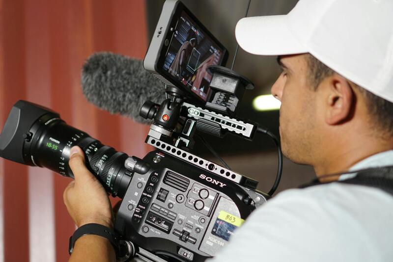
Utilizing Advanced Camera and Imaging Technology
Modern drone photography equipment is equipped with high-resolution cameras, stabilizing gimbals, and intelligent imaging systems that facilitate capturing crisp, vibrant visuals from challenging angles. Utilizing cameras with wide dynamic range ensures that both bright and shadowed areas of a property are rendered with detail, providing potential buyers with a comprehensive view.
In addition, pre-programmed flight modes and automated camera settings streamline the shooting process, enabling consistent results across multiple listings. Adjustable shutter speeds, ISO levels, and aperture settings help in tailoring images to optimal lighting conditions, which is crucial in Miami’s often sunny and varied weather patterns. The integration of thermal or hyperspectral imaging can also be employed for specialized marketing purposes, such as highlighting structural features or detecting issues, adding further value to the imagery.
Post-Processing and Image Optimization Techniques
Beyond capturing stunning footage, effective post-processing enhances the visual impact of drone imagery. Skilled editors utilize professional software to adjust color balance, contrast, and sharpness, ensuring each image aligns with the intended marketing message. Image stacking and HDR processing can be used to balance exposures, providing balanced visuals in high-contrast lighting scenarios common in Miami’s outdoor settings.
Video footage is often stabilized and color-graded to maintain consistency across a property’s visual presentation. Moreover, adding helpful annotations, aerial maps, or virtual tours can increase engagement and provide a comprehensive view of the property’s features. Carefully edited visuals not only attract more potential buyers but also reflect a professional standard that elevates the entire listing portfolio.
Key Methods of Ensuring Authenticity and Trust in Drone Realty Photography
When incorporating drone imagery into real estate marketing, maintaining the integrity and authenticity of the visuals is paramount. This involves utilizing official procedures and verified services that adhere to established operational standards. One of the primary strategies is to employ licensed drone operators who have completed recognized training programs and possess appropriate certifications. These professionals are well-versed in the technical aspects of drone flight, safety protocols, and ethical considerations, ensuring that every shot taken is both accurate and respectful of privacy and property boundaries.
Furthermore, the use of state-of-the-art drone equipment is essential. High-quality drones equipped with advanced stabilization systems, high-resolution cameras, and reliable GPS functionalities enable precise positioning and consistent image capture. This equipment allows for seamless maneuvering around properties, capturing detailed aerial views and showcasing property exteriors with clarity and depth. It also minimizes potential distortions or inconsistencies that could compromise visual credibility.
Another vital aspect involves rigorous post-ride verification processes. Editing should be limited to enhancing clarity and color accuracy without altering the fundamental composition of the imagery. Employing professional software tools allows for meticulous color correction, perspective adjustments, and image sharpening to reflect the true appearance of the property. Such practices uphold the integrity of the visuals, fostering trust among clients and potential buyers who rely on authentic representations for decision-making.
To further corroborate the authenticity of aerial visuals, integrating complementary data sources like property boundary maps or geographic information system (GIS) overlays enhances the contextual understanding of the property's location. These overlays provide additional layers of assurance that the images correspond precisely with the official property records and geographic boundaries.
Transparency in the process—including clear communication of drone capabilities, the scope of the footage, and adherence to professional standards—strengthens credibility. When prospective clients can verify that the images are generated through legitimate, meticulously managed methods, confidence in the marketing material increases significantly. This trust is crucial in a competitive real estate market, especially within a vibrant locale like Miami, where dynamic visuals significantly influence buyer interest.
Ultimately, confirming the use of formal procedures, certified operators, advanced equipment, and integrity-driven post-production processes ensures that drone realty photography remains a credible and influential component of real estate marketing campaigns. Such diligent practices not only highlight property features but also serve as a foundation for building trustworthy relationships between sellers, agents, and buyers, fostering a more transparent and effective real estate ecosystem in Miami.
Enhancing Drone Real Estate Photography with Professional Editing and Post-Production Techniques
After capturing high-quality aerial imagery and footage, the post-production phase plays a crucial role in transforming raw drone visuals into compelling marketing material that attracts potential buyers and appraisers alike. This stage involves meticulous editing to enhance clarity, color accuracy, and visual appeal, ensuring that each property is presented at its best.
Advanced editing software allows for precise color correction, helping to neutralize any inconsistencies caused by lighting conditions during shooting. Adjustments to contrast, sharpness, and saturation ensure the property’s architecture and landscaping stand out vividly, capturing attention immediately. Moreover, stabilization tools can correct minor camera movements, resulting in smooth, professional-looking footage that emphasizes the property’s grandeur and appeal.
In addition to basic enhancements, strategic cropping and framing are employed to focus on key features of the property, such as unique architectural elements or outdoor amenities. This targeted approach maximizes visual impact and guides the viewer’s attention effectively.
Utilizing before-and-after comparisons allows real estate agents to showcase improvements or highlight specific property features. This technique can be particularly effective in competitive markets or when listings need a visual differentiation from others.
Incorporating detailed overlays and graphics, such as property boundaries, proximity to landmarks, or neighborhood highlights, adds contextual information that further positions the property within its community. These overlays are carefully integrated during the editing process to ensure they complement the visuals without distracting from the main subject.
High-end editing also involves preparing the footage for various marketing channels. For online listings, social media campaigns, and virtual tours, multiple versions with optimal specifications are created, ensuring quick load times and high visual quality across all platforms.
Staying committed to a professional and transparent editing process not only enhances image quality but also reinforces trust with clients. When viewers see visually appealing, accurately represented imagery, their confidence in the listing’s authenticity and value increases. This meticulous attention to detail in post-production ultimately contributes to more successful sales and stronger client relationships.
Best Practices for Drone Photography in Real Estate
To maximize the effectiveness of drone realty photography, it is essential to adhere to established best practices that ensure high-quality results and comprehensive property representation. Prior to capturing footage, a thorough site assessment should be conducted to identify optimal times of day for lighting, potential obstructions, and highlight unique property features. This preparatory step helps in planning flight paths that encompass all critical angles, providing a complete visual narrative of the property.
Maintaining steady, smooth flight movements is crucial for professional-grade imagery. Utilizing drones equipped with advanced stabilization technology allows operators to capture crisp, jitter-free footage that enhances viewer engagement. Slow, deliberate camera movements during flight sequences create dynamic visuals without overwhelming the viewer, effectively showcasing the property's scale and surrounding environment.
Optimal camera settings play a vital role in producing vibrant and detailed images. Shooting in high-resolution modes with appropriate ISO, aperture, and shutter speed ensures clarity and color accuracy. Employing neutral density filters when necessary can help manage excess light, producing balanced exposures even in bright daylight conditions.
It is equally important to respect no-fly zones and follow designated flight paths to prevent disruptions. Careful planning minimizes potential hazards and ensures safety for everyone involved, including neighbors and pedestrians. This responsible approach not only preserves professional integrity but also guarantees consistent results that meet market standards.
During flight sessions, multiple shots from different angles should be taken to allow flexibility during post-processing. Overlapping images contribute to creating comprehensive panoramic views and facilitate seamless editing. Additionally, utilizing waypoints and automated flight routes can streamline the process, saving time while capturing all necessary footage.
Post-production workflows should focus on enhancing the footage without compromising authenticity. Color correction, contrast adjustments, and sharpening can improve visual appeal, making listings more attractive to potential buyers. Incorporating overlays, labels, or property boundary markings during editing can further contextualize the visuals, providing viewers with pertinent property information.
Finally, when conducting drone photography for real estate, maintaining consistent quality across projects is key. Establishing standardized protocols for flight planning, camera settings, and editing processes ensures that each listing meets professional benchmarks. This consistency boosts client confidence and enhances the reputation of your drone realty photography services in Miami.