Factors Influencing Aerial Photography Rates
When considering real estate aerial photography rates, several critical elements come into play that determine the overall cost of a project. These factors help clients understand what influences pricing and enable them to choose a service provider that aligns with their budget and quality expectations. In Miami, where diverse properties range from luxury waterfront estates to commercial developments, understanding these variables is essential for making informed decisions.
One of the most significant considerations is the size of the property. Larger estates or multi-unit complexes typically require more extensive planning, greater drone flight time, and additional editing, all of which can elevate costs. Conversely, smaller residential listings might incur lower fees due to shorter flight durations and simpler post-production requirements.
The location also plays a pivotal role in pricing. Urban environments such as downtown Miami demand meticulous planning to navigate airspace restrictions, high-density buildings, and safety protocols, often increasing operational complexity and costs. Rural or suburban areas, with fewer obstacles and regulations, generally allow for quicker shoots at potentially reduced rates.
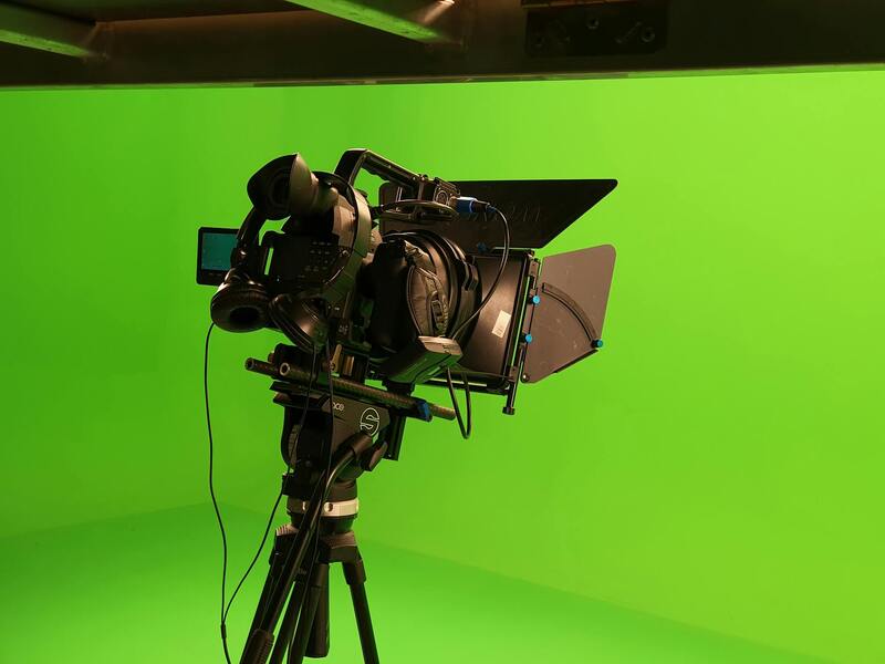
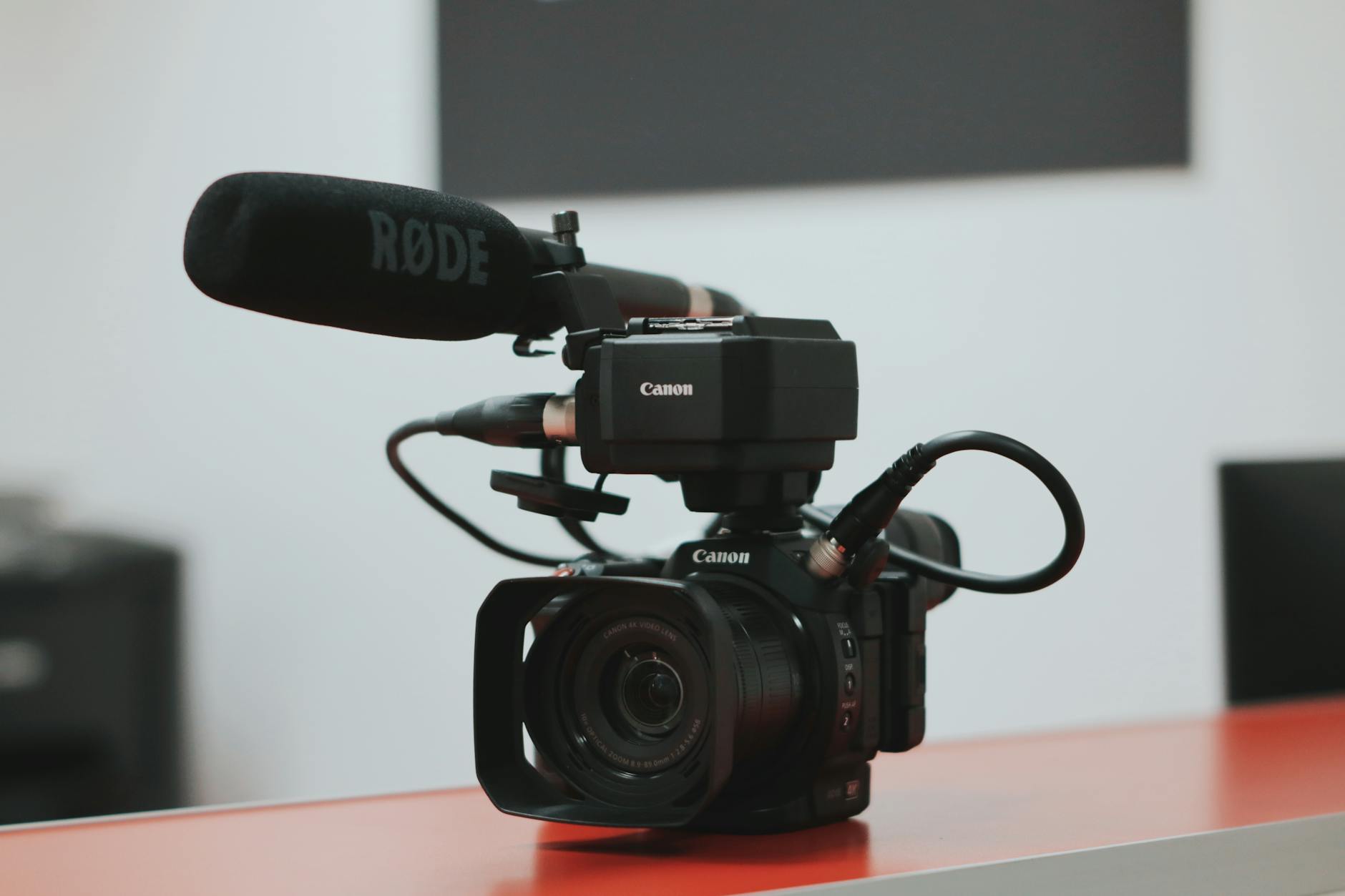
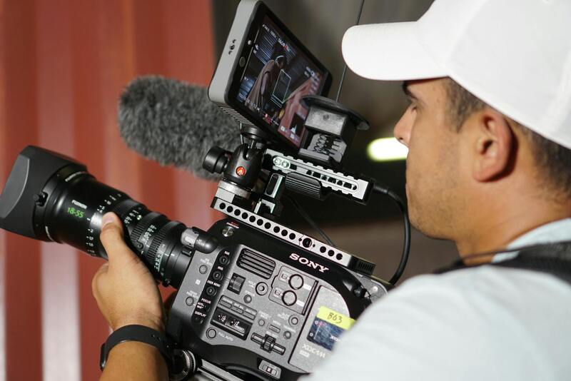
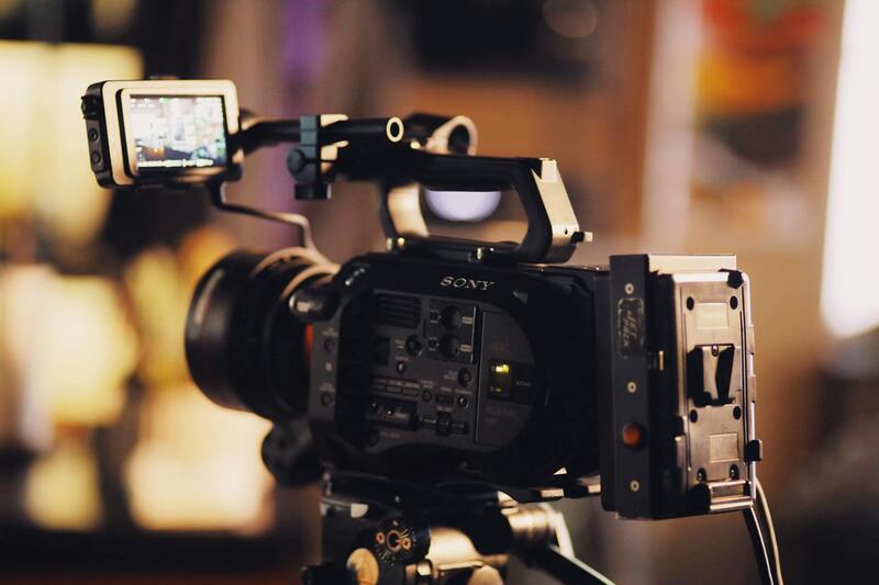
Equipment used for capturing high-resolution images plays a role in determining prices as well. Advanced drones with stabilization technology, high-definition cameras, and specialized lenses command higher rental and operational fees, which are reflected in the final rate. Additionally, the experience and skill level of the aerial photographer influence the quality and, consequently, the pricing structure.
Weather conditions can also impact costs, especially during seasons with unpredictable weather patterns that may cause delays or necessitate rescheduling. Professionals often factor these variables into their rates to accommodate potential disruptions.
Lastly, regulatory compliance, such as obtaining necessary permits or adhering to local airspace regulations, can add to operational expenses. Though these are standard practices in Miami’s busy airspace, their associated costs should be considered when budgeting for aerial real estate photography.
Average Pricing Structures for Real Estate Aerial Photography
In the Miami market, several pricing models are prevalent among professional aerial photography providers. The most common approaches include hourly rates, per-project charges, and bundled packages, each tailored to meet different client needs and property types.
Hourly rates typically range from $150 to $300, depending on the complexity of the shoot, equipment used, and the photographer’s experience. This model suits clients with smaller properties or those seeking quick, straightforward captures. However, for larger estates or multi-property developments, a per-project fee often provides a more predictable cost structure. Project-based pricing can vary widely, typically spanning from $500 to $2,500 or more, reflecting the scope of work involved.
Many Miami aerial photography providers compile comprehensive packages that include pre-shoot consultations, multiple flight angles, editing, and delivery of high-resolution images. These packages might start at $1,000 and extend upward based on the number of images, shoot complexity, and additional services such as twilight photography or video content. Clients benefit from clear, bundled pricing that covers a set of deliverables, ensuring transparency and ease of budgeting.
Common Pricing Packages and Offerings
Many providers offer tiered packages designed to cater to diverse client requirements:
- Basic Package: Includes a limited number of images, basic editing, and standard angles. Suitable for smaller or less complex properties.
- Standard Package: Offers a broader selection of photos, editing enhancements, and multiple angles, often including twilight options for curb appeal.
- Premium Package: Comprises comprehensive coverage with aerial video, 3D mapping, virtual tours, and expedited delivery for high-end listings.
Additional services such as drone videography, panoramic shots, or 360-degree views typically come with supplemental charges, allowing clients to customize their experience based on marketing goals.
Additional Costs and Optional Services
Beyond base rates, several optional services can influence the overall cost:
- Specialized Shots: Dusk or dawn imagery, high-altitude shots, or intricate angles may incur extra fees.
- Video Content: Creating promotional videos or walkthroughs typically involves additional equipment and editing expenses.
- Post-Processing Enhancements: Advanced editing, such as color correction or HDR processing, can increase costs.
- Rush Orders: Expedited delivery options often attract premium charges to accommodate tighter deadlines.
Understanding these components helps clients anticipate the total investment required for their real estate marketing efforts.
Factors that Can Increase or Decrease Rates
Several variables influence the final pricing beyond the standard rate structures:
- Property Location: Remote or difficult-to-access sites may add logistical costs.
- Size and Complexity: Larger estates or properties with intricate layouts demand more time and specialized equipment.
- Equipment Technology: Using high-end drones or specialized lenses increases operational costs.
- Weather Conditions: Unpredictable weather necessitates rescheduling, which can affect the overall project timeline and costs.
- Environmental Restrictions: Sensitive areas requiring additional permits or precautions may incur extra fees.
Accurate understanding of these elements allows for more precise budgeting and ensures transparency in the service agreement.
Factors Influencing Aerial Photography Rates
Several key elements play a crucial role in determining the pricing of real estate aerial photography. Recognizing these factors can help clients better understand the cost structure and tailor their expectations accordingly.
- Property Location: The geographical placement of a property significantly impacts rates. Properties situated in remote areas or regions with limited drone access often entail additional logistical planning. Travel costs, permission requirements, and potential restrictions on flight operations in certain zones can all contribute to elevated rates.
- Property Size and Complexity: Larger estates or properties with elaborate layouts require more extensive coverage. A sprawling land parcel or a multi-story building necessitates multiple flight paths and angles to capture comprehensive visuals, increasing labor and equipment time.
- Equipment Technology: The use of advanced drones equipped with high-resolution cameras, stabilized gimbals, or specialized lenses influences operational expenses. High-end equipment demands skilled operators and meticulous handling, which can be reflected in the overall rates.
- Weather Conditions: Unpredictable weather, such as high winds, rain, or fog, can delay or reschedule shoots. In some cases, additional days or time slots might be required to ensure optimal lighting and safety, thus affecting the final cost.
- Environmental Restrictions: Properties located in environmentally sensitive areas may require special permits, additional safety measures, or restricted flight times. These considerations can add to the total cost and complexity of a project.
Understanding these variables provides clarity on how different elements can impact the overall pricing structure. Clients are encouraged to communicate detailed property information and project expectations early in the planning process to receive accurate estimates and ensure the photography services align with their marketing goals.
Factors Influencing Aerial Photography Rates
Several key elements play a significant role in determining the overall cost of real estate aerial photography. These factors are instrumental in shaping the final pricing structure and can vary greatly depending on the specific requirements of each project. Understanding these influences helps clients make well-informed decisions and aligns expectations with the services offered.
Property Size and Complexity
The dimensions of the property are fundamental in estimating costs. Larger estates or sprawling land parcels require more extensive flight plans to capture all relevant angles and features. Multi-story buildings or properties with multiple structures may demand additional passes from various heights and perspectives. These additional efforts extend flight time, increase drone maneuvering, and often necessitate more meticulous planning, thereby elevating the price.
Location and Accessibility
The geographical setting of the property significantly impacts operational costs. Properties situated in remote or hard-to-access areas may incur higher transportation expenses and logistical planning. Urban environments with restricted airspace or dense surroundings may require special permissions or limited flight windows, which can lead to increased planning complexity and costs.
Equipment Technology
The sophistication of the drone and camera equipment used plays a substantial role. High-resolution cameras, stabilized gimbals, thermal imaging, or specialized lenses enable superior visual quality but also come with higher operational costs. Skilled operators trained to handle advanced technology ensure optimal footage quality, which may influence the final rates.
Weather Conditions and Environmental Restrictions
Unpredictable weather such as wind, rain, or fog can lead to delays or rescheduling, affecting overall project costs. Additionally, properties located in environmentally sensitive zones might require permits, limited flight times, or additional safety measures. These considerations add layers of complexity and potential expenses to the service provision.
Additional Costs and Optional Services
Beyond basic aerial shots, several optional services and extra charges can impact the overall expense. These include drone permits, especially in restricted zones, post-production editing, rush delivery requests, or supplementary footage. Clients should advocate for transparent pricing to understand potential extras and avoid surprises.
Factors that Can Increase or Decrease Rates
Understanding the variables that influence aerial photography costs is essential for clients seeking transparent pricing and tailored solutions. Several key factors can lead to adjustments in the final rates, whether increasing or decreasing costs, based on the specific requirements of each project.
Property Height and Size
The height of the property and the overall size significantly impact operational complexity. Taller structures or sprawling estates often require more extensive flight planning, specialized equipment, and additional safety considerations. Larger properties may necessitate more drone batteries, extended flight times, and multiple angles to ensure comprehensive coverage. As a result, these factors generally lead to higher rates due to increased labor and resource allocation.
Accessibility and Location
Properties located in hard-to-reach or restricted areas demand additional logistical planning. Difficult access points, crowded urban environments, or protected zones often require special permits, additional safety measures, and careful coordination, which can elevate costs. Conversely, properties in easily accessible locations with open terrain streamline flight operations, potentially reducing overall expenses.
Weather Conditions and Timing
Adverse weather, such as high winds, rain, or fog, can delay shoots or reduce footage quality, necessitating rescheduling or additional take attempts. Optimal weather conditions facilitate smoother operations, potentially lowering costs. However, last-minute adjustments due to weather issues might incur extra charges, especially if quick turnaround is requested.
Post-Processing and Editing Requirements
High-quality visuals often require skilled post-production work, including color grading, image stabilization, or 3D mapping. Clients with specific editing needs should anticipate higher rates, especially if expedited delivery or extensive modifications are necessary. Clear communication about post-processing expectations ensures accurate budgeting and avoids misunderstandings.
Special Equipment and Techniques
Advanced imaging methods, such as thermal scanning or aerial panoramas, involve specialized equipment and expertise. These add-ons typically come with increased costs compared to standard high-resolution footage. Clients seeking innovative or niche techniques should expect to pay a premium for these services, reflecting the sophistication involved.
Operational and Safety Considerations
If a project involves additional safety measures—such as crowd control, proximity to sensitive structures, or specialized insurance—costs could rise accordingly. These operational considerations ensure safe and compliant flights but can add to the financial outlay.
Being aware of these factors enables clients to better interpret pricing and prepare for potential adjustments. Detailed consultations with service providers allow for tailored estimates that accurately reflect project scope, environmental conditions, and technical demands, ensuring a seamless experience from planning through delivery.
Factors Influencing Aerial Photography Rates
Determining the cost of real estate aerial photography involves a comprehensive assessment of multiple variables. The primary factors include the project's scale and complexity, location-specific considerations, equipment requirements, and the level of expertise needed to deliver high-quality visuals. For instance, properties situated in densely populated or protected areas may necessitate additional planning, permits, and safety measures, which can influence the overall fee. Similarly, the size and detail of the property, including terrains and structures requiring nuanced shots, directly impact the number of drone flights and post-processing time involved.
Another critical aspect is the technical equipment utilized. Standard high-resolution drones may suffice for basic imagery, but advanced devices with stabilized gimbals, thermal sensors, or panoramic capabilities command higher rates due to their sophistication. The experience and reputation of the photography service provider also play a role, with more seasoned professionals offering tailored solutions that ensure optimal results but at a premium. Additionally, environmental conditions such as weather patterns, local regulations, and airspace restrictions can influence scheduling and operational costs, further affecting pricing.
Operational and safety considerations are integral to pricing strategies as well. Projects involving complex logistics, crowd control, or proximity to sensitive infrastructure require comprehensive safety protocols, additional insurance, and specialized personnel, all of which contribute to elevated costs. The need for multiple shoot locations, rush delivery, or extensive editing further complicates the billing structure, emphasizing the importance of clear communication between clients and service providers to establish accurate estimates.
Average Pricing Structures for Real Estate Aerial Photography
Pricing models in the Miami real estate aerial photography market tend to follow standardized structures that accommodate project scope and service complexity. Typically, rates are breakdown into either per-project fees or hourly charges, with the choice depending on the specific needs of the client and the expected deliverables.
Standard packages often start at approximately $200 to $400 for basic aerial shots of a single property. These packages usually include a set number of photos, limited editing, and a short turnaround time. For more comprehensive coverage, including multiple angles, extensive editing, and higher-resolution imagery, rates can range from $500 to $1,000 or more per project. Larger or more complex properties, especially those requiring drone flights in challenging conditions or advanced imaging techniques, may see costs surpassing several thousand dollars.
It is vital to recognize that rates can fluctuate based on regional economic factors, provider expertise, and current demand for aerial services. Many providers offer customizable quotes that reflect the precise scope of work, ensuring clients get a transparent overview of cost distribution.
Common Pricing Packages and Offerings
- Basic Package: Includes 10–15 aerial images with minimal editing, suitable for smaller properties or initial listings.
- Standard Package: Offers 20–30 photos, basic video clips, and light post-processing, ideal for motivated listings seeking appealing visuals.
- Premium Package: Incorporates high-resolution images, drone videos, panoramic shots, and extensive editing, tailored for luxury estates or commercial developments.
These packages are often complemented by add-on services such as virtual tours, 3D mapping, or expedited editing, each incurring additional costs.
Additional Costs and Optional Services
Clients should be aware that supplementary services can elevate overall expenses. These include:
- Expedited Delivery: Rush processing or same-day turnaround may add 25-50% to standard rates.
- Extended Post-Processing: Advanced edits like color correction, image stabilization, or virtual staging increase service charges.
- Specialized Equipment: Thermal or multispectral imaging, 3D flight mapping, or twilight shoots come at a premium due to specialized hardware and expertise.
- Permits and Location Fees: Accessing certain properties or environments may involve permit fees or landing rights, contributing to additional costs.
Factors that Can Increase or Decrease Rates
Several elements contribute to fluctuations in aerial photography pricing beyond the base rates. Increased project complexity—such as navigating challenging terrains, coordinating multiple shoots, or conducting shoots during less favorable weather—tends to raise costs due to additional time and effort. Conversely, projects that utilize standard equipment, involve less intricate post-processing, or are scheduled during favorable conditions may benefit from lower rates.
Furthermore, client preferences for extensive coverage, quick turnarounds, or high-tech imaging solutions can lead to higher fees. Conversely, long-term partnerships or recurring listings often receive discounted rates reflective of ongoing collaboration. It is essential for clients to understand these influencing factors and discuss them thoroughly with providers to establish a transparent and mutually agreed-upon price structure, ensuring clarity and budget adherence throughout the project lifecycle.
Factors Influencing Aerial Photography Rates
Determining the cost of real estate aerial photography involves considering multiple variables that can significantly impact the final price. First and foremost, the complexity of the property and its location play pivotal roles. Properties situated in densely populated urban areas or in tough-to-access terrains may require special permissions, permits, or additional logistical planning, all of which can drive up costs. The size of the property also influences pricing; larger estates or commercial sites demand more extensive coverage, requiring more flight time and post-processing efforts.
Another critical element is the type of equipment used. Standard drones equipped with high-resolution cameras are sufficient for most residential listings, but more sophisticated or specialized hardware can lead to higher fees. For example, thermal imaging, 3D mapping, or twilight photography involves advanced hardware and skilled operators, contributing to elevated rates. Weather conditions and flight safety considerations similarly affect project costs, as flights during unfavorable weather may require rescheduling or additional safety measures.
Permits or landing rights are additional factors, particularly when operating in restricted zones or private properties. Securing these permissions entails administrative costs and time investments, which are ultimately reflected in the service charges. Additionally, the scope of the shoot, such as the number of drone angles or the inclusion of supplementary services like editing and virtual staging, can influence overall pricing.

Average Pricing Structures for Real Estate Aerial Photography
Pricing models for real estate aerial photography often differ based on service provider and project scope. Typically, providers offer flat rates or hourly charges, with the average cost per project spanning from $200 to $500 for standard residential properties. Smaller properties or listings requiring minimal coverage tend to fall at the lower end of this spectrum, while larger, more elaborate shoots command higher fees.
Some providers structure their pricing based on the number of images or video footage delivered, offering packages that include a set number of high-resolution images or minutes of video content. In Miami's competitive market, many companies also adopt tiered pricing, combining base rates with add-ons for faster delivery, specialized editing, or extended coverage.

Common Pricing Packages and Offerings
Clients can choose from a variety of packages designed to meet different objectives. Basic packages often include a brief drone flyover capturing key property angles and a limited set of high-quality images, costing around $200 to $300. Mid-range packages may add video tours, aerial panoramas, and minor post-processing, with prices ranging from $350 to $600.
Premium packages typically feature comprehensive coverage, twilight shoots, 3D renderings, and extensive editing services, with prices exceeding $700. Some providers also offer customized services tailored to the unique demands of luxury or commercial listings, which naturally command higher fees. Clients should evaluate these packages against their marketing needs and discuss options openly with the service provider.
Additional Costs and Optional Services
Beyond base rates, several optional services can influence the total project cost. For instance, expedited editing and delivery are common add-ons that ensure high-priority turnaround, often increasing rates by 15-30%. Advanced imaging techniques, such as thermal or multispectral imaging, involve specialized hardware and skills, adding further to the expense.
Other potential charges include the creation of virtual tours, 3D models, or augmented reality features that enhance property presentations. If the project involves multiple locations, longer flight times, or complex shot setups, additional labor and equipment costs naturally arise. Clients should clarify which extras are included in their chosen package and what might incur additional fees.
Factors that Can Increase or Decrease Rates
Several factors dictate fluctuations in aerial photography rates. Complex projects that require navigating challenging environments, coordinating multiple shoots, or conducting shoots during off-hours or bad weather tend to be more expensive due to the additional effort and resources involved. Conversely, projects utilizing basic equipment, scheduled during optimal weather conditions, or requiring minimal post-processing often benefit from lower costs.
Client preferences such as priority delivery, high-resolution imagery, or advanced imaging techniques can push rates upward. Additionally, establishing long-term relationships or recurring partnerships with a provider can lead to discounted rates, offering consistency and cost savings over time. Clear communication about these influencing factors helps clients and providers reach an agreement aligned with the project scope and budget.
Factors Influencing Aerial Photography Rates
Several key elements determine the final pricing for real estate aerial photography services. Understanding these factors ensures clients can budget appropriately and select a provider that aligns with their project needs and financial expectations. The primary influences include the complexity of the shoot, environmental conditions, required equipment, and the scope of post-processing. Detailed project requirements often necessitate specialized gear or techniques, which can drive up costs.
Environmental factors such as weather conditions, lighting, and accessibility also play crucial roles. Photography sessions scheduled during adverse weather or in hard-to-reach locations require extra planning, equipment, or additional time, all of which contribute to higher rates. The scale of the property and its landscape complexity further influence the project duration and technical demands, impacting the overall cost.
Average Pricing Structures for Real Estate Aerial Photography
Typically, aerial photography costs are influenced by whether a flat fee or hourly rate is applied. In Miami, standard prices for professional aerial shots range from $150 to $500 per session, with variations depending on the project scope and provider reputation. Some providers might offer package deals that include multiple images, video footage, and drone operation. These packages often provide better value compared to individual services.
Many companies establish minimum service fees, which might cover basic flights over small properties, with additional charges for extended shooting time or complex editing requests. The pricing model often reflects the provider’s level of experience, equipment quality, and capacity to deliver high-resolution imagery suitable for marketing and promotional purposes.
Common Pricing Packages and Offerings
- Basic Package: Includes a set number of high-resolution images captured from predetermined angles. Usually costs between $200 and $400.
- Standard Package: Incorporates multiple angles, video footage, and basic editing. Ranges from $400 to $800.
- Premium Package: Offers extensive coverage, advanced editing, and virtual tour content. Prices can exceed $1,000 and are tailored to larger or more complex properties.
Some providers also bundle aerial services with other real estate marketing tools like 3D virtual tours or drone mapping, which can be beneficial for comprehensive property presentations.
Additional Costs and Optional Services
Beyond basic shooting, several optional services can influence the total expense:
- Expedited Delivery: Faster turnaround times often command additional fees, especially during busy seasons or tight deadlines.
- High-Resolution Images: If clients require ultra-high-resolution files for large-format printing, this can increase costs.
- Enhanced Imaging Techniques: HDR, 360-degree panoramas, or specialized filters add to the total price.
- Additional Locations or Flight Hours: Multi-site shoots or extended flight durations naturally incur higher fees due to increased labor and equipment usage.
Factors that Can Increase or Decrease Rates
Projects demanding complex navigation around obstacles, nighttime shoots, or motion-intensive captures tend to carry higher rates. Conversely, properties located in easily accessible areas with favorable weather predictability and minimal post-processing requirements typically enjoy lower costs. Additionally, clients who establish ongoing relationships with providers might access discounted rates and prioritized scheduling. The choice of drone equipment, level of operator expertise, and the use of advanced imaging technology also shape the rate variations.
How to Choose a Photography Provider Based on Rates
While cost is an influential factor, it should be balanced with provider experience, equipment quality, and portfolio reputation. Clients are advised to request detailed proposals and compare service inclusions to ensure transparency. Opting for a provider with a proven track record in real estate marketing guarantees higher quality imagery and efficient project execution. Negotiating bundled services or package deals can also lead to better rates without compromising on deliverable standards.
Average Turnaround Times and Their Impact on Rates
Turnaround times fluctuate based on project complexity and workload. Standard projects may require 24 to 72 hours for delivery, whereas expedited services could deliver results within 12 hours or less. Fast turnaround options often involve additional fees, reflecting the prioritization of workflow and resource allocation. Clients should discuss these timelines beforehand to align expectations and costs, ensuring that the project’s schedule and budget are mutually satisfied.