Understanding Real Estate Aerial Videography
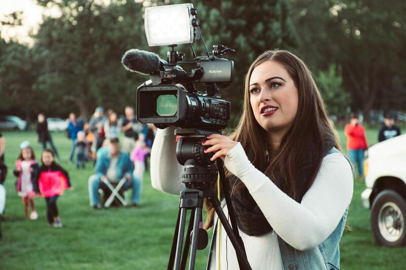
Real estate aerial videography has transformed how properties are showcased in today’s dynamic real estate market. This specialized technique involves capturing high-quality video footage from elevated perspectives using unmanned aerial vehicles (UAVs) or drones equipped with advanced cameras. These aerial shots provide a comprehensive view of a property’s exterior, its surrounding landscape, and the neighborhood, offering prospective buyers an immersive visual experience that ground-level photographs cannot deliver.
In the competitive Miami real estate landscape, the strategic use of aerial videography can significantly enhance property marketing efforts. By integrating sweeping drone footage into property listings, real estate professionals can highlight unique features such as expansive outdoor spaces, waterfront access, nearby amenities, and the overall scale of the property. This visual storytelling capability not only attracts more viewers but also helps in making more informed purchasing decisions.
Furthermore, aerial videography allows real estate agents to create engaging virtual tours, which have become essential tools in today’s digital-first property market. These videos enable remote clients to virtually explore a property in a detailed and dynamic manner, increasing outreach and reducing the need for in-person viewings. This method is especially advantageous in Miami, where diverse geographic features and scenic vistas heighten the appeal of aerial perspectives, thereby making listings stand out in a crowded marketplace.
Investing in high-quality aerial videography technology aligns with the growing expectations of modern homebuyers, who increasingly rely on visual content to guide their purchasing journeys. High-resolution videos captured from different flight altitudes and angles can showcase meticulously maintained landscaping, architectural details, and the overall ambiance of a property, creating an emotional connection and escalating interest among prospective buyers.

In summary, real estate aerial videography is a powerful marketing tool that combines advanced technology with creative visual storytelling. It provides a comprehensive view of properties from a unique vantage point, emphasizing their features and surroundings more effectively than traditional photography. As Miami’s real estate market continues to evolve, integrating aerial videography into marketing strategies will remain a vital aspect of attracting and engaging buyers, ensuring listings receive the visibility they deserve and fostering faster sales cycles.
Legal Regulations and Permits in Miami
Executing real estate aerial videography in Miami involves adherence to specific regulations and permit requirements designed to ensure safe and responsible drone operation. These guidelines are established to balance innovative marketing techniques with public safety, privacy concerns, and airspace management. Professionals operating in this space must familiarize themselves with local statutes and federal airspace rules to deliver seamless services without interruptions.
At the core, all drone pilots must obtain a Remote Pilot certificate through the Federal Aviation Administration (FAA), demonstrating a comprehensive understanding of drone operation, safety protocols, and airspace regulations. Certification is mandatory regardless of the size of the drone or the nature of the operation, including commercial real estate videography.
In addition to FAA licensing, local regulations specific to Miami and Florida may impose restrictions on flight locations, times, and altitudes. Operating within designated areas, such as avoiding proximity to airports, military installations, and densely populated zones, is essential to prevent operational conflicts. Specific city ordinances may also restrict flying over private property without explicit permission, emphasizing the importance of obtaining proper authorizations from property owners before filming.
When planning a shooting session, securing necessary permits or approval for certain restricted zones becomes a critical step. This process often involves coordinating with relevant authorities, submitting detailed flight plans, and adhering to established safety buffers. Working with experienced aerial videographers who are well-versed in Miami's regulatory landscape can streamline permissions and ensure compliance.
Respecting privacy is another key consideration, especially in densely populated neighborhoods. Drone operators should avoid capturing images or footage of private spaces without consent, aligning with community standards and ethical practices. This not only protects client interests but also fosters trust and positive community relations.
To maintain a smooth workflow, regular updates on regulatory changes and ongoing education for drone pilots are vital. Professional aerial videography services should prioritize staying current with any modifications in laws or procedures that impact aircraft operations in Miami, thereby minimizing risks of non-compliance and ensuring a streamlined, professional approach to property marketing.
Essential Methods for Securing Drone Operations in Miami
When engaging in real estate aerial videography within Miami, it is crucial to follow official procedures that align with established protocols for drone operations. The primary method involves applying for specific permits and authorizations through designated agencies that oversee aerial activities. These applications typically require submission of detailed flight plans, including the intended flight zones, altitudes, and times, along with proof of operator certification and aircraft registration. Working closely with experienced drone operators who are familiar with Miami’s procedural requirements ensures that the necessary documentation is accurately prepared and submitted, facilitating smooth approval processes.
In addition to permit acquisition, adhering to restricted zones marked by official maps ensures that flights do not interfere with sensitive areas such as government facilities, airports, or military zones. Establishing a clear safety buffer around private properties, especially in densely populated neighborhoods, protects the privacy of residents and maintains community trust. Operators should utilize official airspace maps and geofencing technology to avoid unauthorized areas and prevent potential violations.
Maintaining compliance also involves continuous communication with relevant authorities. This may include notifying local air traffic control when executing complex or high-altitude flights and updating authorities about scheduled shoots. Such proactive communication minimizes misunderstandings and operational conflicts, ensuring that videography sessions proceed without interruption.
Utilizing Certified Equipment and Documentation
Official procedures for real estate aerial videography prioritize the use of certified, well-maintained equipment. This includes using drones that meet specific safety standards and are registered with the appropriate aviation authorities. Employing certified equipment underscores a commitment to operational safety and ensures that video footage meets professional quality standards.
Proper documentation is equally important. Drone operators should carry proof of certification, registration, and permits during each shoot. These documents should be up-to-date and easily accessible in case of inspection or questions from authorities or property owners. Such practices not only demonstrate professionalism but also provide assurance of adherence to all operational standards.
Ethical and Community Considerations
Official procedures also incorporate guidelines for respecting the privacy and safety of individuals and communities. Drone operators should establish protocols that prevent the capturing of private spaces without consent and adhere to community standards of conduct. Avoiding intrusive footage, especially in residential areas, helps foster positive relations with the community and enhances the reputation of the service provider.
Continual education and awareness about evolving regulations are fundamental to maintaining compliance. Professional aerial videography firms invest in ongoing training for their pilots, ensuring they stay informed about regulatory updates and best practices, which significantly reduces the risks associated with non-compliance.
Official Methods for Conducting Drone Operations in Miami
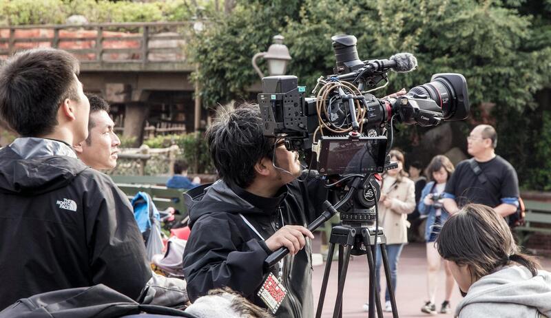
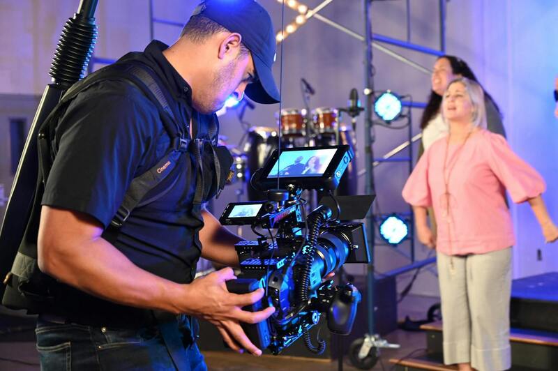
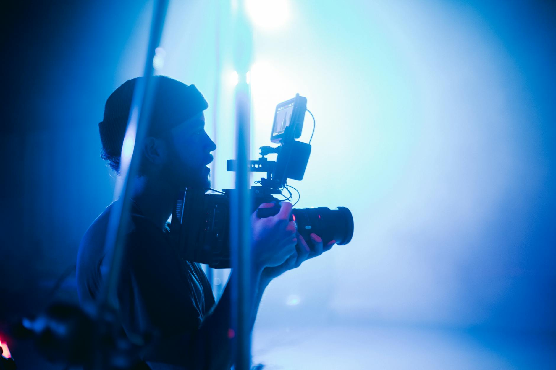
Implementing a professional approach to real estate aerial videography in Miami necessitates the use of time-tested, official methods that prioritize safety, precision, and professionalism. The process begins with selecting appropriate drone platforms equipped with high-resolution cameras capable of capturing detailed, high-quality footage necessary for compelling real estate presentations. These platforms should be operated by trained personnel who understand both the technical nuances of drone flight and the specific needs of real estate marketing.
Operational planning remains a cornerstone of effective aerial videography. This includes conducting thorough site assessments to identify potential hazards, determine optimal flight paths, and establish safe distances from structures and people. By leveraging detailed pre-flight planning, operators can ensure comprehensive coverage of the property while minimizing risks. This planning phase also encompasses comprehensive weather assessments; ideal conditions—typically clear skies, low wind speeds, and optimal lighting—are essential to capture smooth, professional footage without interruptions or safety concerns.
During actual operation, adherence to established protocols is critical. These include maintaining line-of-sight control of the drone, respecting altitude restrictions designated by aviation authorities, and avoiding restricted or sensitive areas such as private properties, wildlife habitats, and urban infrastructure. Using certified flight controllers who are experienced in aerial operations helps to mitigate unforeseen disruptions and ensures that legal parameters are strictly followed.
Post-flight, comprehensive data management procedures should be employed. This includes verifying the collected footage for quality and completeness, securely storing the data to prevent loss, and beginning the editing process to craft engaging, accurate representations of the property. Employing professional editing workflows guarantees the final product conforms to industry standards, effectively showcasing the property’s features while adhering to ethical considerations such as privacy and community respect.
Implementing these official methods underscores a commitment to operational excellence, safety, and high-quality output in real estate aerial videography in Miami. Continuous training and adherence to operational guidelines ensure that each project not only meets but exceeds industry expectations, making it a reliable choice for clients seeking top-tier visual marketing solutions.
Planning and Shooting Techniques
Effective real estate aerial videography in Miami hinges on meticulous planning and precise execution. Prior to capturing footage, a comprehensive site survey is essential. This includes analyzing the property's surroundings, identifying potential obstructions, and understanding local airspace considerations. By assessing factors such as neighboring structures, natural features, and prevailing winds, operators can develop a detailed flight plan that maximizes safety and visual impact.
Utilizing high-quality drones equipped with advanced stabilization systems ensures smooth, cinematic footage that highlights the property’s most attractive features. During shoots, maintaining optimal altitude—generally within prescribed limits—is crucial to balance comprehensive views with safety considerations. Flight paths should be clearly mapped out to achieve the desired angles, focusing on key aspects like the property layout, landscaping, and proximity to local amenities.
The time of day influences lighting conditions profoundly. Conducting shoots during the golden hour—the period shortly after sunrise or before sunset—enhances natural lighting, lending warmth and depth to the visuals. Conversely, midday flights tend to produce harsh shadows that can obscure finer details.
Pre-flight checklists are a vital component of professional aerial videography. These include verifying battery levels, inspecting propellers, confirming GPS signal strength, and ensuring all safety measures are in place. Establishing clear communication protocols among team members minimizes risks and ensures seamless coordination during the shoot.
Operational discipline, including maintaining line-of-sight control of the drone, adhering to altitude restrictions, and avoiding sensitive zones, remains paramount. Employing experienced operators trained in Miami’s unique environment helps to mitigate unforeseen challenges such as sudden gusts or obstructive structures, thereby safeguarding both the equipment and the surrounding community.
Post-flight, reviewing raw footage for stability, clarity, and framing is pivotal. Employing professional techniques for shot composition and sequence planning guarantees a compelling narrative of the property, which can be enhanced further during the editing process. These practices not only elevate the quality of real estate marketing materials but also demonstrate a commitment to excellence and trustworthiness in Miami’s competitive property market.
Understanding Real Estate Aerial Videography
Real estate aerial videography has become an indispensable tool in Miami’s competitive property market, offering unique perspectives that traditional photography cannot. High-quality aerial footage enables real estate professionals to showcase properties from multiple angles, highlighting key features such as expansive yards, nearby amenities, and the overall neighborhood environment. This immersive visual approach not only enhances property listings but also captivates potential buyers, fostering emotional connections even before in-person visits. Selecting the right aerial videography strategy involves understanding the integration of drone technology with market needs, ensuring footage is shot with precision, and highlighting the property's best features effectively.
Key Equipment and Technology
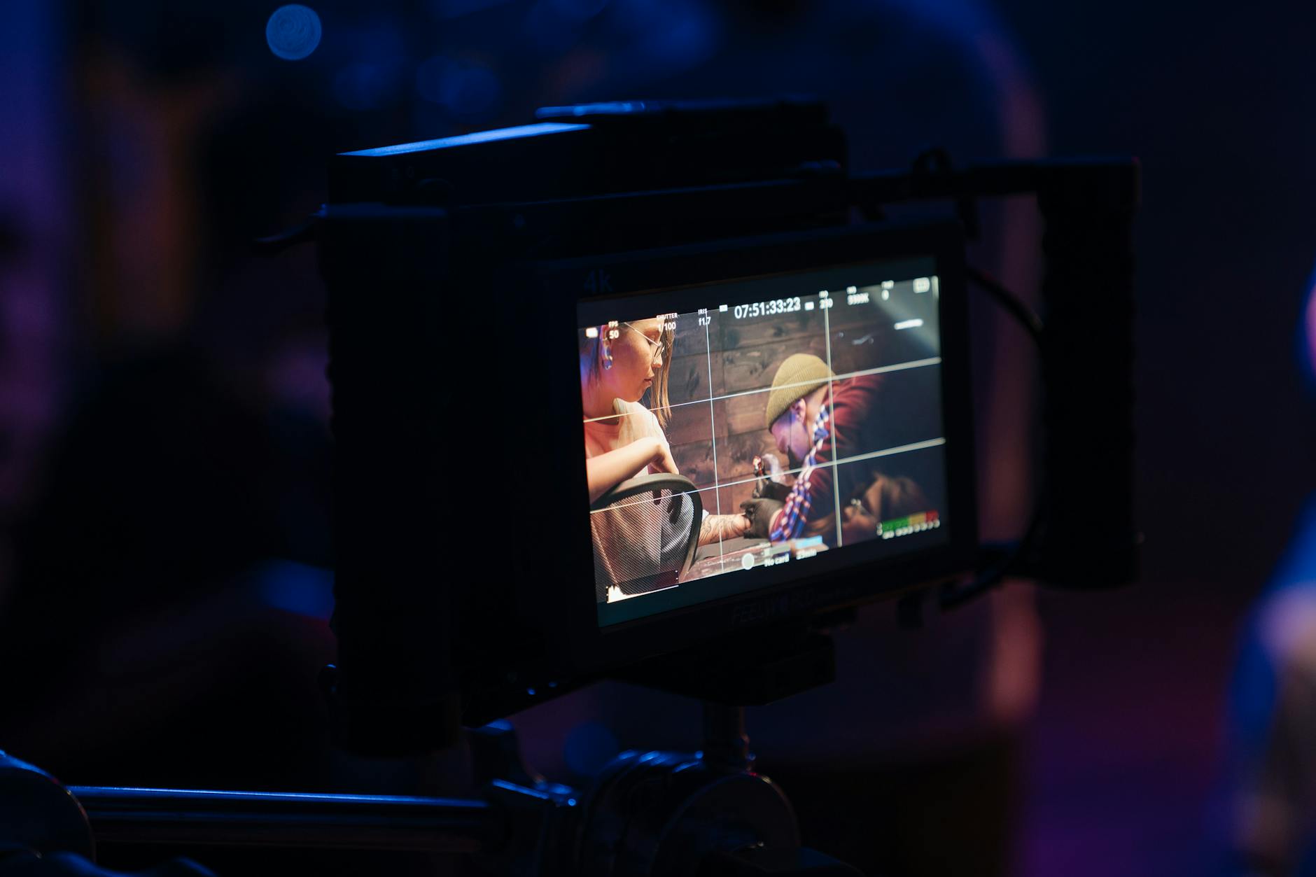
The backbone of professional real estate aerial videography rests on specialized drone equipment designed for clarity, stability, and safety. Modern drones equipped with 4K or higher resolution cameras, gimbal stabilization systems, and advanced sensors are capable of capturing crisp, smooth footage even in challenging conditions. High-end models feature obstacle avoidance technology, GPS positioning, and automated flight modes to facilitate complex shots without compromising safety or quality. Additionally, remote controllers with real-time video transmission allow operators to monitor footage instantly, making necessary adjustments on the fly. Integrating GPS waypoint planning and pre-programmed flight paths ensures comprehensive coverage of the property while adhering to designated flight zones.
Legal Regulations and Permits in Miami
Operating drones for real estate videography in Miami requires adherence to specific operational standards and obtaining necessary permissions. Miami's airspace management involves coordinating with federal and local agencies to ensure safe integration of drone activities. Flying within designated altitude limits, avoiding restricted zones such as airports and sensitive government sites, is essential. Acquiring permits often involves submitting flight plans, proof of pilot certification, and insurance documentation. Utilizing certified drone operators familiar with Miami's airspace nuances guarantees compliance, minimizes disruptions, and ensures that all footage captured aligns with current regulations. This structured approach guarantees that aerial videography activities proceed smoothly and asset protection remains a top priority.
Planning and Shooting Techniques
Effective planning is critical for capturing compelling aerial footage of Miami’s diverse properties. Establishing a detailed flight plan involves mapping out key angles, verifying weather conditions, and scheduling flights during optimal lighting periods such as early mornings or late afternoons. Conducting pre-flight site assessments helps identify potential obstacles like tall structures, trees, or power lines, enabling pilots to adapt their flight paths accordingly. During shoots, smooth camera movements—achieved through steady drone control and gimbal stabilization—are essential for professional results. Incorporating dynamic angles, such as sweeping panoramas and top-down views, provides a comprehensive visual story of the property’s features. Maintaining consistent communication among the crew ensures safety and efficiency, minimizing the risk of mishaps or missed opportunities.
Post-Production and Editing Tips
Post-production processes elevate raw aerial footage into polished marketing assets. Stabilization tools correct minor camera jitters, ensuring smooth playback across all devices. Color grading enhances visual appeal by balancing natural hues and emphasizing the property's best features. Cutting sequences to highlight the property’s layout, surrounding amenities, and landscape features crafts a captivating story that resonates with viewers. Adding professional transitions, titles, and ambient music can enhance viewer engagement and reinforce brand identity. Attention to detail during editing—such as matching shot sequences and maintaining consistent visual styles—ensures a seamless viewing experience. Finally, optimized export settings guarantee high-resolution output suitable for both online platforms and high-quality presentations, making the property stand out in Miami’s bustling market.
Planning and Shooting Techniques
Successful real estate aerial videography hinges on meticulous planning and proficient execution. Before capturing footage, a comprehensive site survey is essential to identify optimal flight paths, obstructive elements like power lines, tall trees, or neighboring structures, and the best times of day for lighting conditions. Conducting these evaluations allows pilots to craft flight plans that maximize property visibility while minimizing risks.
Using advanced pre-flight planning software, operators can create detailed flight paths that ensure coverage of all key property features. These tools facilitate the optimization of camera angles and heights, enabling the capture of dynamic visuals that highlight unique architectural details, landscape design, and surrounding amenities.
On the day of shooting, establishing a clear communication protocol among team members ensures coordinated movements and safety. Aeronautical considerations—such as wind speed, weather conditions, and local airspace regulations—must be monitored constantly to adapt flight plans in real-time. Smooth camera movements, achieved through steady drone control and gimbal stabilization, produce professional-grade footage free of jitters or abrupt transitions.
- Optimal Camera Angles: Utilize a combination of high-altitude sweeping shots and close-up top-down views to convey both the property's scale and intricate details.
- Lighting Considerations: Schedule shoots during the 'golden hour' to leverage natural light, enhancing the property's visual appeal and creating inviting imagery.
- Flight Safety and Compliance: Always adhere to local airspace restrictions and maintain safe distances from structures and crowds to ensure safe operation and high-quality results.
- Use of Autonomous Flight Modes: Incorporate pre-programmed autonomous flight paths for consistent capturing of complex scenes, especially when showcasing large properties or extensive landscapes.
By integrating these planning and shooting strategies, videographers can produce captivating, professional-quality aerial footage that vividly presents the property's main features and surroundings, setting listings apart in Miami’s competitive market.
Advanced Techniques and Continuing Innovation in Miami Real Estate Aerial Videography
As the domain of aerial videography matures, ongoing advancements are shaping how real estate professionals and videographers capture and showcase Miami’s competitive property market. Integration of cutting-edge technologies not only enhances the visual quality but also provides immersive experiences that resonate with prospective buyers and investors. Leveraging these innovations involves a combination of high-end equipment, sophisticated editing software, and strategic creative approaches.
Emerging Technologies and Their Application
One of the most notable developments is the push towards ultra-high-definition filming. 8K resolution provides an unprecedented level of detail, resulting in remarkably crisp images that highlight the finer architectural elements and landscaping features of luxury Miami estates. This clarity enables viewers to virtually explore properties with exceptional realism, fostering a deeper emotional connection to the listing.
Virtual tours, facilitated by integrated aerial footage, have become a game-changer in real estate marketing. They allow potential clients to navigate through a property remotely, viewing both the interior spaces and exterior surroundings from multiple angles. These immersive presentations are often enhanced with interactive tools, enabling viewers to control camera angles or access detailed property data seamlessly.
Utilizing Automation and Artificial Intelligence
The automation of flight paths through autonomous flying systems improves the consistency of shots, particularly when capturing large or multiple properties. Such systems can ensure comprehensive coverage, even in challenging environments or complex site layouts. Furthermore, AI-driven editing tools expedite post-production processes by automatically stabilizing footage, adjusting color grading, and optimizing exposure, which results in a polished final product delivered in minimal turnaround times.
Integration of Drone Swarming and Multi-Drone Systems
Multi-drone operations are gaining attention with their capacity to film from various angles simultaneously. Coordinated drone swarms can produce dynamic, multi-perspective shots that accentuate the scale and aesthetic appeal of Miami's diverse real estate portfolio. Managing these systems requires precise control and planning but offers an innovative way to create compelling visual narratives that set listings apart in a saturated market.
Enhancing Data Collection and Mapping
Beyond footage, aerial systems are now equipped with LiDAR sensors and advanced photogrammetry software. These tools enable precise 3D mapping, topographical analysis, and environmental assessments. Such data is invaluable for developers, architects, and investors who need detailed site analysis to inform construction, landscaping, or infrastructure projects in Miami's dynamic urban environment.
Preparing for Future Visual Marketing Strategies
The evolution of real estate aerial videography in Miami suggests a trajectory toward more immersive, data-rich marketing assets. Combining high-resolution video, interactive virtual experiences, and comprehensive site analytics will become standard practices for showcasing luxury and commercial properties. Staying ahead involves adopting these technologies early, ensuring a competitive edge and providing clients with innovative solutions that enhance property appeal and marketability.