Overview of Real Estate Drone Video
Real estate drone videos have revolutionized property marketing, especially in vibrant markets like Miami. These high-altitude footage pieces provide viewers with a comprehensive perspective of properties, surrounding neighborhoods, and local amenities that traditional photography often cannot capture. By employing advanced drone technology, real estate professionals can showcase properties from an aerial viewpoint that highlights their size, layout, and scenic context, creating a compelling visual story.
In Miami, where the real estate landscape is characterized by luxury homes, waterfront estates, and expansive multimillion-dollar properties, drone videos serve as an essential tool to stand out in a competitive market. They allow potential buyers to virtually explore a property as if they were physically present, gaining a better understanding of the spatial relationships and community features that add value to the property. Moreover, drone footage enhances online listings, making them more engaging and shareable across various digital platforms.
The significance of real estate drone videos extends beyond mere aesthetics. They contribute to quicker sales cycles by attracting serious inquiries from motivated buyers who appreciate detailed visual information early in their property search. Aerial videos also facilitate remote viewings, which have become increasingly vital, especially given the influx of international and out-of-state investors seeking Miami real estate.
While traditional photography remains a cornerstone of real estate marketing, the addition of dynamic drone footage provides a multi-dimensional approach that combines ground-level detail with sweeping panoramic views. This synergy not only elevates the perceived value of a property but also builds trust through transparent and engaging visual storytelling.
Legal and Regulatory Considerations in Miami
When integrating drone footage into real estate marketing campaigns within Miami, understanding the proper procedures for drone operation is essential to ensure a smooth and compliant process. Professional drone operators must navigate a range of regulations established by federal, state, and local authorities that govern aerial videography activities. These regulations are designed to balance innovative marketing practices with safety, privacy, and airspace management.
Prior to conducting any drone flights, it is necessary for operators to obtain appropriate certifications demonstrating their proficiency in safe drone handling. This usually involves passing a comprehensive aeronautical knowledge test and obtaining a Remote Pilot Certificate from the Federal Aviation Administration (FAA). Such credentials establish credibility and assure clients of responsible operation practices.
In Miami, specific municipal ordinances may regulate drone flight zones, height restrictions, and times of operation to minimize disturbances and protect the privacy of residents. It is crucial for drone service providers to be familiar with designated no-fly zones around airports, government buildings, and densely populated areas. Pre-flight planning involves consulting official maps and notices to avoid inadvertent violations which could lead to functional downtime or legal complications.
Furthermore, adherence to statutes related to privacy rights entails obtaining necessary permissions and informing property owners or residents when filming occurs nearby. Disregarding these considerations may result in disputes, complaints, or the need for retakes. Working with experienced legal advisors or certified drone operators familiar with Miami’s specific regulatory landscape ensures compliance and mitigates risks.
Engaging a professional drone service provider who maintains up-to-date knowledge of regulatory requirements helps streamline the process. Such operators perform comprehensive pre-flight assessments, secure necessary permits, and execute flights within the established legal framework. This proactive approach not only guarantees quality but also fosters trust with clients and stakeholders who seek reliable and legitimate marketing solutions.
Legal and Regulatory Considerations in Miami
When integrating drone footage into real estate marketing strategies within Miami, adherence to established operational standards is essential. This involves understanding the protocols for obtaining necessary permits from relevant municipal and state agencies prior to flights. Typically, drone operators must coordinate with the Federal Aviation Administration (FAA) and local authorities to secure any required authorizations. This process often includes submitting detailed flight plans, demonstrating safety measures, and ensuring compliance with altitude restrictions and designated no-fly zones.
Additionally, safety regulations mandate that drone operations be conducted away from sensitive areas such as airports, heliports, and densely populated neighborhoods. Operating within prescribed altitude limits and during permitted hours further ensures a smooth workflow. Maintaining comprehensive records of permits, flight logs, and safety checks is also recommended as best practice.
For drone operators involved in Miami's real estate sector, continuous education on evolving regulations and best practices is crucial. Collaborating with legal advisors or regulatory consultants can help navigate complex requirements and avoid unintended infringements. By prioritizing regulatory compliance, professionals ensure that their aerial content remains legitimate and trustworthy, fostering confidence among clients and prospects.
Engaging certified unmanned aircraft system (UAS) pilots equipped with up-to-date knowledge of Miami’s aviation and privacy laws offers an added layer of security. These specialists perform pre-flight assessments, secure necessary clearances, and execute flights with an emphasis on safety and adherence to legal standards. Such diligence safeguards the investment in high-quality drone videos and reinforces the integrity of the marketing campaign.
Legal and Regulatory Considerations in Miami
Successfully utilizing real estate drone videos in Miami necessitates meticulous adherence to established operational protocols that govern unmanned aircraft activities. Prior to launch, operators must ensure all necessary permits and clearances are obtained through designated authorities, such as the Federal Aviation Administration (FAA) and local Miami agencies. This structured process involves submitting detailed flight plans, including flight duration, altitude limits, and geographic coordinates, to align with local airspace management strategies.
Operators should also perform comprehensive pre-flight assessments to identify potential hazards within the shooting area. These assessments encompass reviewing current weather conditions, wind speeds, and visibility levels to facilitate safe flight operations. Ensuring the drone is equipped with the latest firmware updates and functioning components further enhances safety and compliance.

In Miami, drone flights should be conducted within defined altitude thresholds—commonly not exceeding 400 feet—to maintain situational awareness and avoid interference with manned aircraft. Additionally, operators must respect no-fly zones established around airports, heliports, and dense urban centers. These zones are delineated with geo-fencing technology embedded within the drone software, prompting alerts or restrictions when approaching restricted areas.
Operational hours are also regulated; flights are best scheduled during daylight hours with good visibility and outside of restricted period windows to prevent disturbances or inadvertent breaches of flight regulations. Maintaining detailed records—such as flight logs, permits, and safety checklists—is vital for accountability and potential audits. This documentation verifies that all flights are conducted within permitted parameters.
Particularly in Miami, engaging certified drone pilots who possess current knowledge of regional airspace and privacy stipulations is advantageous. These professionals execute pre-flight evaluations, liaise with relevant authorities for clearances, and monitor real-time flight parameters. Their expertise ensures high-quality footage collection while adhering to all operational standards, thereby safeguarding the creator’s investment in the project and fostering confidence among clients and prospects.
Types of Drone Shots for Real Estate Marketing
When creating compelling real estate drone videos, employing a variety of shot types can significantly enhance the visual storytelling and overall appeal of the property. Different shots serve specific purposes, highlighting the property's features, the surrounding neighborhood, and unique architectural details. An understanding of these shot types enables real estate professionals to craft engaging, professional-grade videos that attract potential buyers and investors.
Establishing Shots
Establishing shots set the scene by capturing the property within its broader environment. These wide aerial shots showcase the property's size, layout, and proximity to local amenities, parks, schools, and transportation links. Effective establishing shots help viewers contextualize the property within its neighborhood, providing a comprehensive overview that complements detailed interior footage.
Orbit Shots
Orbit shots involve circling the property at a consistent altitude, offering dynamic visuals that highlight different angles and architectural elements. This type of shot imparts a sense of motion and grandeur, making the property appear more appealing on visual platforms. Orbit shots are especially useful for showcasing unique exterior features, such as facades, landscaping, pools, or patios.
Vertical or Top-Down Shots
Vertical shots are taken directly above the property, emphasizing its footprint and spatial relationships with neighboring structures. These shots are ideal for illustrating property boundaries, land size, and layout. Vertical footage can also be used to showcase backyard amenities, gardens, or outdoor living spaces in a clean, unobstructed manner.
Close-Up and Detail Shots
While aerial shots provide broad overviews, focusing on close-ups allows highlighting specific features such as unique architectural details, custom workmanship, or landscaping features. Combining wide-angle aerial shots with close-up footage presents a well-rounded view that can enhance marketing materials and virtual tours.
Tracking or Moving Shots
Utilizing autonomous drone movements to follow a path around or along the property lends a cinematic quality to the footage. Tracking shots are particularly effective for highlighting features like driveways, walkways, or water features, creating immersive experiences for prospective buyers. Smooth, controlled movements ensure footage remains professional and visually appealing.
Sunrise and Sunset Shots
Time-of-day plays a crucial role in drone videography. Shooting during golden hours—early morning or late afternoon—produces warm, inviting lighting that enhances the property's aesthetic. These shots can evoke emotional responses and make the property stand out in listings or promotional videos.
Employing an array of these shot types, tailored to the specific property and marketing objectives, creates a comprehensive visual narrative. Professional drone operators leverage their expertise to plan and execute these shots with precision, ensuring that each angle emphasizes the property's strengths and appeals to targeted audiences effectively.
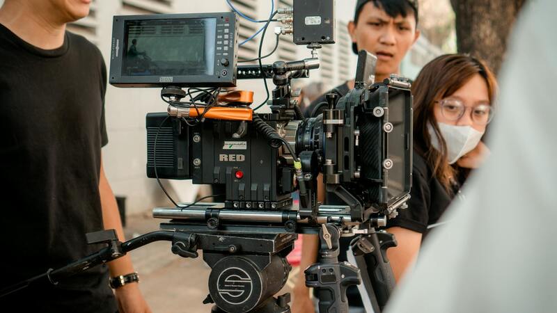
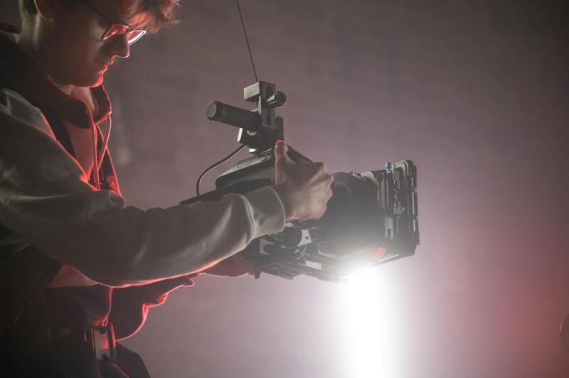
Steps to Plan and Prepare DJI Drone Flights
Effective utilization of drone technology in real estate marketing hinges on meticulous planning and thorough preparation. Initiating this process involves several critical steps designed to maximize safety, comply with local regulations, and ensure high-quality footage that showcases the property's best features. First, conduct a comprehensive site assessment to identify potential obstacles such as trees, power lines, or structures that could interfere with flight paths. Evaluating the surroundings helps in strategizing safe flight routes and selecting optimal camera angles.
Next, determine the weather conditions. Clear, windless days with good daylight are ideal, as adverse weather can compromise drone stability and image clarity. Conducting flights during times of optimal lighting—typically early morning or late afternoon—renders warm and inviting imagery, perfect for real estate marketing. Additionally, reviewing local airspace restrictions and no-fly zones is imperative to avoid inadvertently entering restricted areas, which could jeopardize the flight and the project timeline.
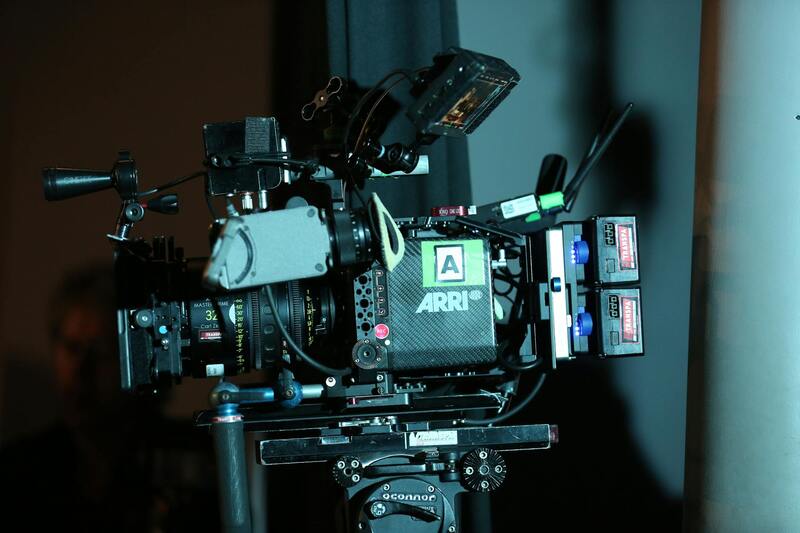
Preparation should also include ensuring the drone's technical readiness. Confirm battery levels, calibrate sensors, and perform pre-flight checks to verify that all systems are functioning correctly. Familiarize with the specific DJI drone model's capabilities, including its maximum flight time, camera settings, and autonomous flight features.
Developing a detailed flight plan is essential. This plan includes defining precise waypoints, camera angles, and shot sequences aligned with the property's unique features. Utilizing flight planning software can facilitate these details, allowing for precise execution and repeatability if needed. Creating a storyboard or shot list prior to the flight ensures all necessary footage is captured efficiently.
During the operation, maintaining clear line-of-sight with the drone is fundamental. Use of visual observers or employ automatic obstacle avoidance features within the drone's capabilities provides additional safety layers. Maintaining consistent communication, especially during autonomous or semi-autonomous flights, helps in promptly addressing any unforeseen issues.
Post-flight procedures include reviewing footage immediately to verify all shots were captured properly. Backing up footage ensures data security and facilitates subsequent editing processes. Conducting a post-flight checklist can help identify any potential equipment issues, enabling timely maintenance or repair before the next use. This disciplined approach to planning and preparation guarantees the production of smooth, professional-grade drone videos that effectively market real estate listings.
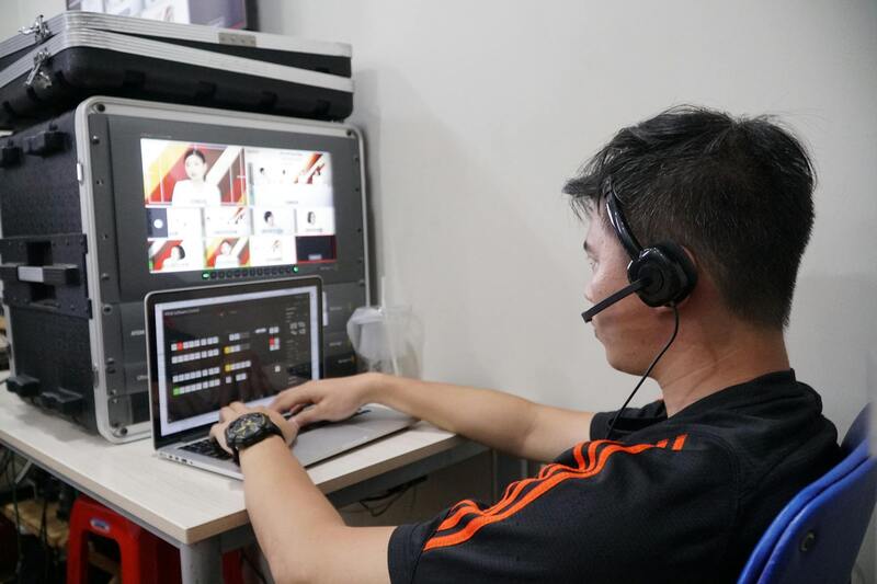
Post-Production and Editing Tips
Once the drone footage has been captured, the post-production process becomes critical in transforming raw video into compelling real estate marketing material. High-quality editing not only enhances visual appeal but also ensures the final product aligns with the property's unique selling propositions.
Careful Footage Review
Begin by reviewing all footage immediately after the flight. This allows for the identification of the best shots, identifying any that may need to be retaken due to issues like poor lighting, unwanted reflections, or shaky footage. Creating a shot log during review helps organize clips for editing and ensures nothing vital is overlooked.
Color Correction and Grading
Color correction helps achieve a consistent look across all shots, correcting for exposure inconsistencies, color imbalances, and enhancing visual clarity. Color grading then adds a distinctive style or mood that aligns with the branding of the property — whether that’s a warm, inviting tone for family homes or a sleek, modern aesthetic for luxury condos.
Stabilization and Framing
Using professional editing software, stabilize shaky footage to ensure smooth, professional results. Frame the shots to emphasize the property’s most attractive features, utilizing cropping and re-framing techniques to create dynamic perspectives. Slow-motion effects can be added to highlight specific architectural details or landscaping features.
Incorporating Marketing Elements
Integrate branding elements such as logos or contact information seamlessly into the video. For residential listings, including animated property details like square footage or unique amenities can captivate viewers. Music selection is also crucial; opt for background scores that complement the property’s style while maintaining a professional tone.
Utilizing Advanced Editing Techniques
Employ advanced techniques like aerial zooms, split screens, or virtual tour integration to create engaging content. Transition effects should be smooth, guiding viewers through the property without distraction. Drone footage can be combined with ground-level shots to offer comprehensive perspectives, fostering a more immersive experience for potential buyers.
Investing in skilled editing ensures the final video stands out in a competitive market, effectively showcasing the property’s best features and compelling potential buyers to take action. Precision in post-production is paramount to delivering a polished product that aligns with your strategic marketing goals.
Final Considerations for Real Estate Drone Video in Miami
Executing high-quality real estate drone videos in Miami requires attention to detail, technical expertise, and a strategic approach to content creation. Beyond initial planning, it's essential to consider the seamless integration of drone footage within a comprehensive marketing plan, ensuring maximum visibility and engagement for property listings.
Effective deployment of drone videos involves meticulous scheduling to capture the property under optimal lighting conditions, typically during early mornings or late afternoons when the natural sunlight enhances architectural and landscape features. Weather conditions also play a critical role; clear skies and minimal wind contribute to smooth flight operations and high-quality footage. Preparation involves calibrating camera settings for the desired resolution and frame rate, aligning the technical parameters with the intended use of the footage.
Optimizing Aerial Footage for Market Impact
- Utilize a combination of wide-angle shots to establish context and zoomed-in details to highlight unique features. This creates a narrative flow that guides viewers through the property seamlessly.
- Leverage flight paths that deliver sweeping panoramic views of the surrounding neighborhood, showcasing the property's environment, accessibility, and nearby amenities—factors increasingly influencing buyer decisions.
- Incorporate smooth tracking shots along driveways and footprints to provide dynamic perspectives that hold viewers' interest.
Post-production editing is crucial for transforming raw footage into compelling visual stories. Techniques such as color grading enhance the vibrancy and mood, while stabilization ensures the footage appears polished and professional. Using advanced editing software, editors can synchronize music, add graphics for property details, and employ transition effects that create a cohesive viewing experience.
Incorporating strategic branding—through overlays, logos, and contact information—helps in building brand recognition. Hyper-realistic virtual tours integrated with aerial footage allow potential buyers to explore properties remotely, increasing engagement and interest.
Finally, a carefully crafted call-to-action at the end of the video guides viewers toward the next steps, whether it's contacting an agent, scheduling a viewing, or exploring additional listings online. This thoughtful approach to drone video content ensures it serves as a powerful tool in your broader real estate marketing strategy, reaching audiences effectively across multiple channels and driving results that align with your sales objectives.