Overview of 3D Drone Photography
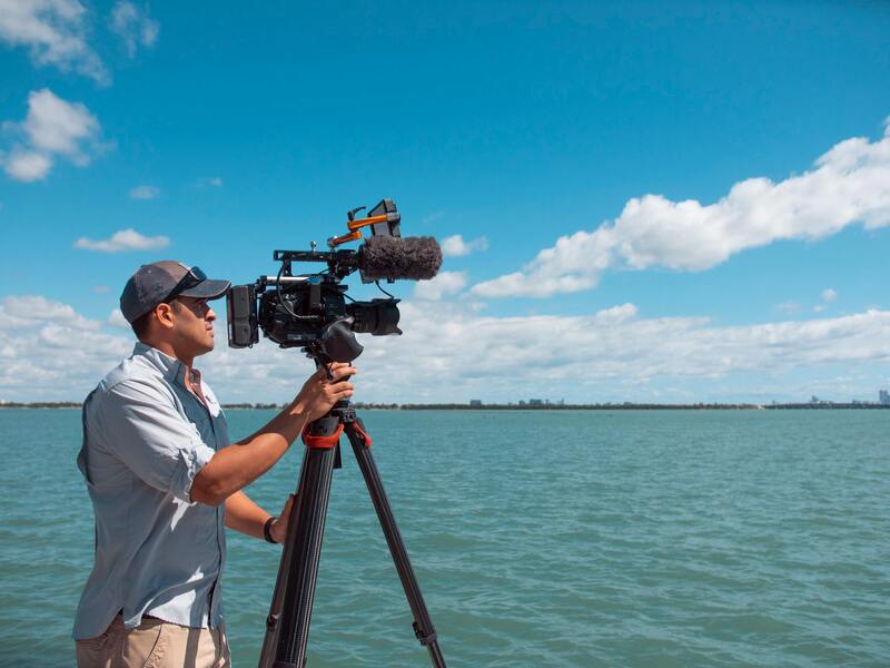
3D drone photography has revolutionized the way professionals capture and visualize aerial imagery. It involves the use of unmanned aerial vehicles (UAVs), commonly known as drones, equipped with advanced cameras and sensors to produce highly detailed, three-dimensional representations of landscapes, structures, and terrains. Unlike traditional photography, which offers flat, two-dimensional images, 3D drone imaging provides depth, perspective, and spatial accuracy, enabling viewers to explore environments as if they were physically present.
This technology leverages a combination of high-resolution cameras, GPS, inertial measurement units (IMUs), and sophisticated software to execute precise data collection. During a typical 3D drone photography operation, the drone systematically captures multiple overlapping images from various angles and altitudes. These images are then processed using specialized software that aligns, stitches, and reconstructs the data into a cohesive three-dimensional model. The result is a highly accurate digital replica of real-world objects or spaces that can be used for analysis, planning, or presentation.
The core methodology involves a technique called photogrammetry, where the software interprets the parallax differences among images to calculate the relative positions of objects. This process allows for the creation of detailed topographical maps, volumetric measurements, and structural models, making 3D drone photography indispensable across various industries.
In practical terms, 3D drone imaging is utilized for applications such as real estate development, architectural visualization, construction progress monitoring, environmental assessment, and heritage preservation. Its capacity to generate precise spatial data rapidly and cost-effectively has made it a preferred approach for professionals seeking comprehensive insights into their projects.
Overall, 3D drone photography combines advanced aerial imaging technology with sophisticated data processing to deliver a multidimensional view of physical spaces. This capability not only enhances visualization and analysis but also facilitates informed decision-making across numerous sectors. As drone technology continues to advance, the precision, speed, and accessibility of 3D aerial imaging are expected to further expand, opening new possibilities for innovative applications and improved project outcomes.
Key Technologies in 3D Drone Imaging
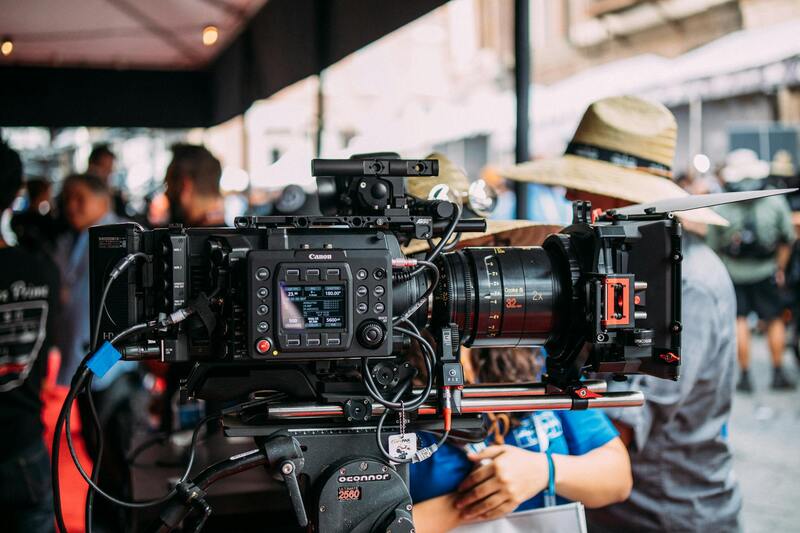
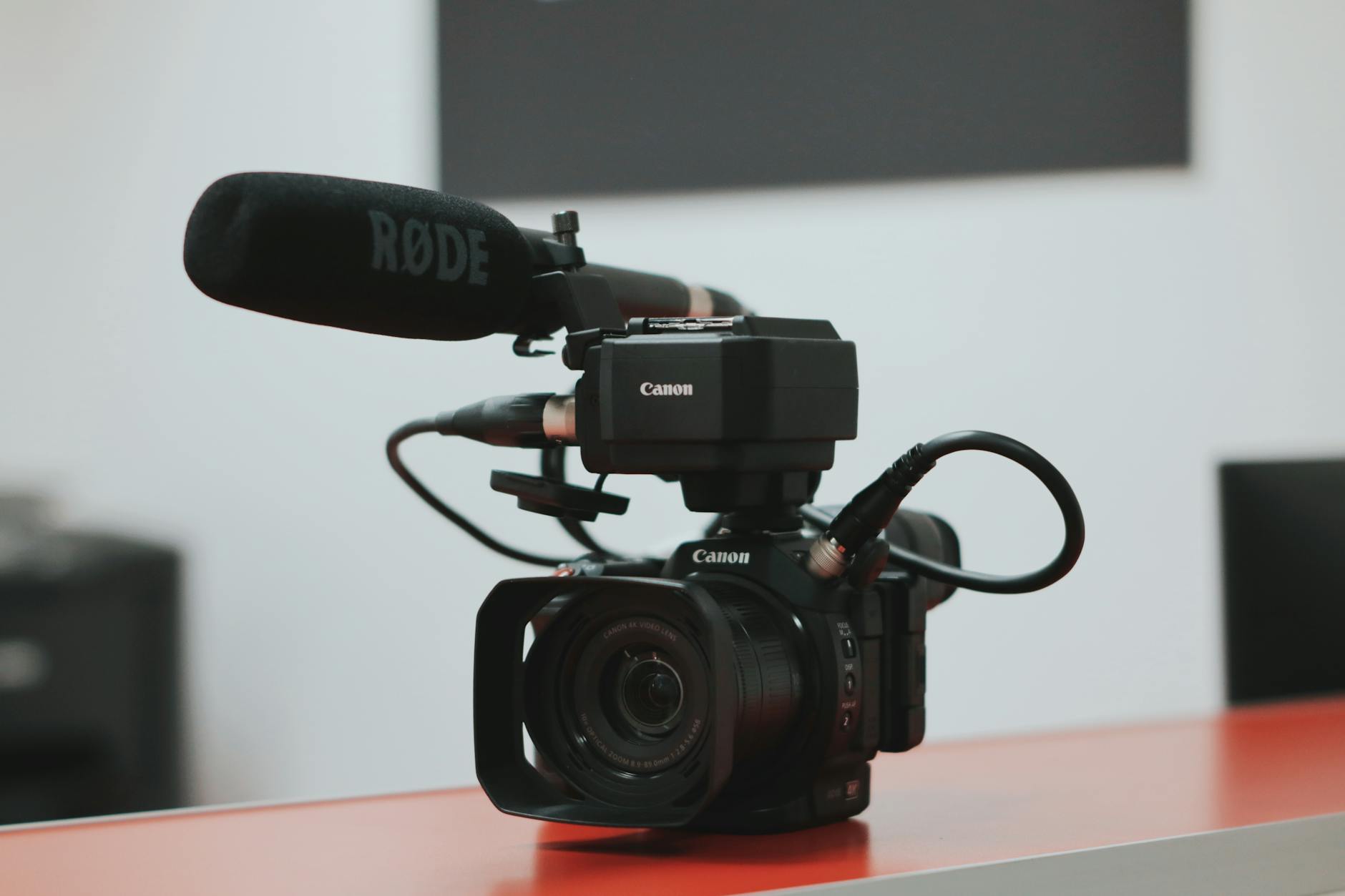
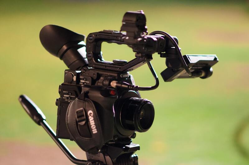
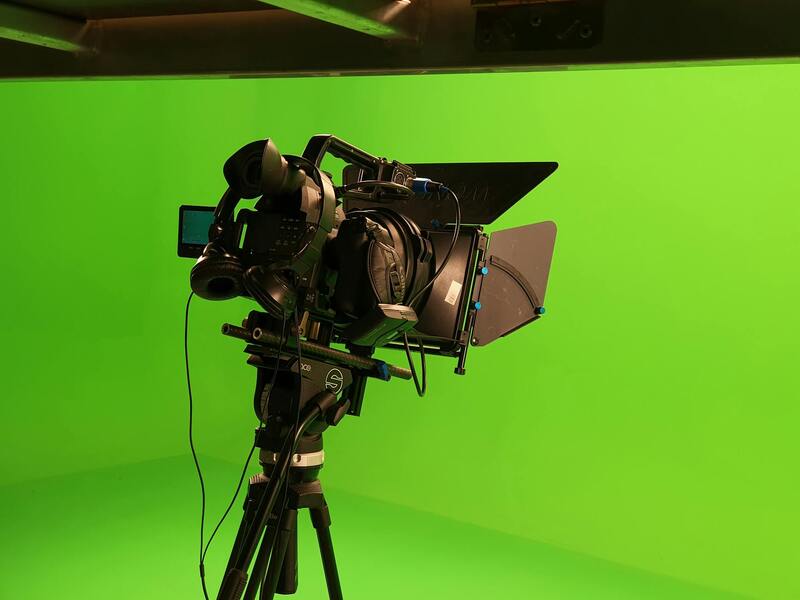
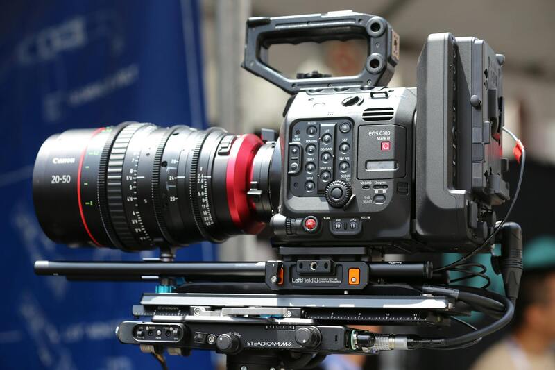
Advancements in drone technology are driven by a combination of sophisticated hardware and cutting-edge software, all working in harmony to produce highly accurate 3D models. Central to this process are the sensors and cameras mounted on modern drones, designed specifically to capture comprehensive data from various angles and in different lighting conditions. High-resolution RGB cameras are standard, providing detailed imagery that serves as the foundation for photogrammetric processing. Additionally, multi-spectral and LiDAR sensors are increasingly incorporated to enhance data collection capabilities, especially in complex terrains and dense environments.
LiDAR (Light Detection and Ranging) sensors, in particular, play a pivotal role in 3D drone imaging by emitting laser pulses and measuring the time it takes for them to return. This method allows for rapid generation of dense point clouds, even in challenging conditions such as low light, dense foliage, or beneath obstructions. When combined with photogrammetric data, LiDAR enhances the accuracy of 3D models, capturing fine details that might be missed by cameras alone.
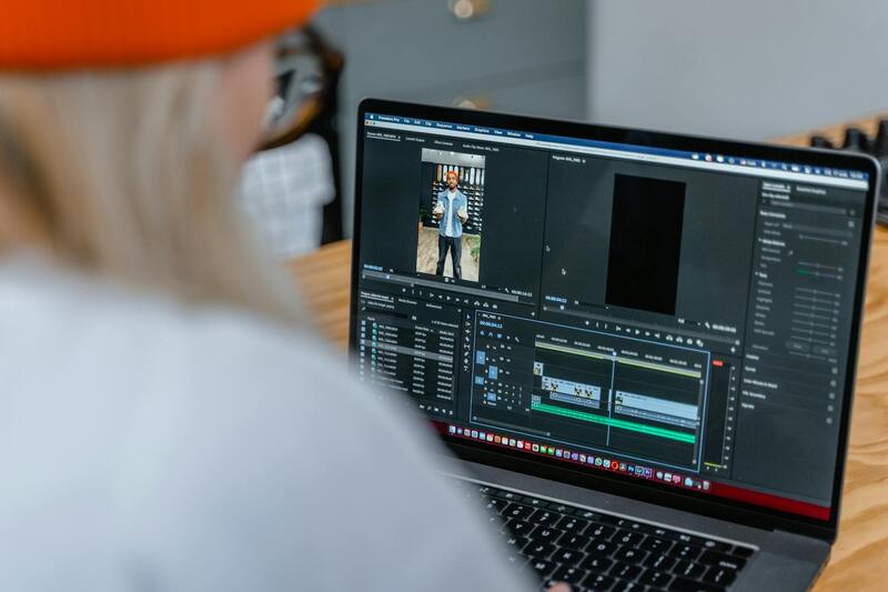
On the software side, specialized processing platforms analyze the collected images and sensor data, performing alignment, triangulation, and point cloud generation. These platforms utilize algorithms to match overlapping images, reconstruct the spatial relationships, and produce detailed 3D meshes. Examples of these software solutions include Agisoft Metashape, Pix4D, and DroneDeploy, which facilitate efficient data processing and model creation. The integration of AI-driven tools in these platforms also automates feature detection, classification, and feature extraction, reducing processing time while improving precision.
Essential Components for Accurate 3D Mapping
- High-Resolution Cameras: Capture detailed images necessary for precise photogrammetry.
- LiDAR Sensors: Provide dense point cloud data for complex environments and terrain.
- Global Positioning System (GPS): Ensures accurate georeferencing of the captured data.
- Inertial Measurement Units (IMUs): Facilitate stabilization and data alignment during flight.
- Advanced Processing Software: Automates data stitching, 3D model construction, and accuracy refinement.
Continuous improvements in sensor resolution, flight stabilization, and data processing algorithms contribute significantly to the refinement of 3D drone imaging. As technology progresses, these components are becoming more compact, energy-efficient, and accessible—making high-quality 3D modeling increasingly achievable for a wide range of applications.
Key Technologies in 3D Drone Imaging
Advancements in hardware and software have revolutionized the capabilities of 3D drone photography, making it possible to produce highly accurate and detailed models across various industries. Central to this technology are high-resolution imaging systems, which capture clear and detailed photographs necessary for precise 3D reconstruction. These cameras often feature multiple lenses and sophisticated stabilization mechanisms to ensure optimal image quality, even in dynamic aerial environments.
LiDAR (Light Detection and Ranging) sensors are increasingly incorporated into drone platforms, offering dense point cloud data that enables high-resolution surface modeling, terrain analysis, and detailed environment rendering. LiDAR's ability to penetrate vegetation and survey complex structures makes it invaluable in projects requiring detailed structural or topographical data.
The Global Positioning System (GPS) integrated into drones guarantees georeferenced data collection, aligning models accurately with real-world coordinates. Complementing GPS, Inertial Measurement Units (IMUs) help maintain stabilization during flight, compensate for movement, and enhance data accuracy. These components work together to ensure consistent data quality, even in challenging environmental conditions.
On the software front, advanced processing platforms such as Agisoft Metashape, Pix4D, and DroneDeploy play a crucial role in transforming raw images and sensor data into comprehensive 3D models. These programs utilize sophisticated algorithms to stitch images seamlessly, perform triangulation, and generate precise point clouds. AI integrations further automate feature detection and classification, streamlining workflows and improving model accuracy and detail.
Continual improvements in sensor resolution, autonomous flight capabilities, and data processing efficiency enable an ever-expanding range of applications. Compact, energy-efficient components have made high-quality 3D mapping increasingly accessible to a broader array of projects, from small-scale architectural surveys to large-scale urban developments. The interplay of these technologies forms the backbone of modern 3D drone photography, facilitating sophisticated analysis, planning, and visualization across multiple sectors.
Applications of 3D Drone Photography in Miami
Miami’s vibrant urban landscape, dynamic construction projects, and diverse environmental features present a fertile ground for the innovative use of 3D drone photography. This technology enhances project planning, monitoring, and visualization, allowing professionals to achieve unparalleled accuracy and detail. In architectural and infrastructure development, 3D models generated from aerial drone data facilitate precise site analysis, helping architects, engineers, and city planners visualize structures within their real-world context. These models support spatial analysis, identify potential issues early in the design process, and optimize resource allocation.
Real estate development and property management benefit significantly from aerial 3D imaging by creating immersive virtual tours and detailed topographical assessments. Such visualizations aid stakeholders in understanding property terrains, surrounding infrastructure, and environmental considerations before making investment decisions. Similarly, urban planners leverage 3D drone data to simulate infrastructure changes, assess environmental impacts, and plan for sustainable growth.

When it comes to environmental conservation and Coastal Management, 3D drone photography offers invaluable insights into coastal erosion, habitat mapping, and flood risk assessment. The ability to generate high-resolution models of Miami’s wetlands, beaches, and waterways enables environmental agencies to monitor changes over time accurately. This data supports proactive measures in storm mitigation and habitat preservation.
Construction and infrastructure projects in Miami deploy 3D drone models for project tracking and site progress. Regularly scheduled drone flights capture data that feed into model updates, providing stakeholders with real-time visualization of ongoing work. Such detailed visualization accelerates decision-making, detects potential issues early, and enhances safety planning.
Moreover, 3D drone imaging plays a crucial role in tourism and cultural preservation by creating detailed digital replicas of historic sites and scenic landmarks. These virtual reproductions facilitate virtual tourism, educational projects, and preservation efforts, ensuring Miami’s rich cultural heritage is documented comprehensively.
As advanced processing software increasingly automates data analysis and model refinement, the deployment of 3D drone photography in Miami continues to grow. From small-scale surveys to expansive urban planning initiatives, this technology provides precise, actionable insights that drive smarter decision-making and sustainable development across the city’s multifaceted sectors.
Legal and Safety Considerations in Miami
Implementing 3D drone photography in Miami requires adherence to established safety protocols and operational guidelines to ensure smooth and responsible usage. Before commencing any drone flight, operators must conduct thorough pre-flight planning that considers airspace restrictions, weather conditions, and specific site characteristics. Forecasting weather conditions such as wind speed, rain, and visibility is vital, as adverse weather can compromise data quality and safety.
It’s essential to delineate designated flight zones, especially in urban settings where buildings, crowds, and other aerial vehicles are prevalent. Establishing buffer zones around sensitive or high-traffic areas minimizes disruptions and enhances public safety. Utilizing geo-fencing technology can aid in real-time boundary enforcement, preventing drones from straying into restricted zones.
Compliance with Miami’s local regulations involves registering drone assets with appropriate authorities and obtaining necessary permits for commercial operations. This process often includes providing detailed flight plans, intended data collection purposes, and safety measures. Adhering to visibility requirements and altitude restrictions not only aligns with regulatory standards but also optimizes data accuracy and operational safety.
Operational safety extends beyond legal compliance. Pilot training is critical; pilots should possess comprehensive knowledge of drone handling, emergency procedures, and risk management strategies. Continuous education on updates in drone technology and local airspace policies supports responsible drone management.
Environmental considerations, including respecting wildlife habitats and avoiding hazardous weather conditions, further underline responsible operations. In Miami’s diverse ecological zones, observers must be vigilant to prevent disturbance to sensitive flora and fauna. Additionally, maintaining visual line-of-sight during flight operations reduces the risk of collisions and enhances image capture quality.
Step-by-Step Process of Creating 3D Models with Drones
Developing precise 3D models through drone-based imaging involves a meticulous and structured workflow. Each phase is essential to ensure accuracy, detail, and usability of the final product, particularly in a dynamic environment like Miami where urban landscapes, coastlines, and ecological zones present unique challenges and opportunities.
Planning and Mission Design
Effective 3D drone photography begins with comprehensive planning. This includes selecting optimal flight paths, altitudes, and camera angles tailored to the specific project objectives. Detailed mapping of the area allows operators to define the boundaries and identify potential obstacles, such as tall structures or dense foliage. Incorporating weather data is also critical; clear skies with minimal wind ensure higher quality data capture and safer operations.
Pre-Flight Preparation
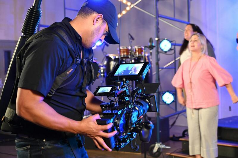
Before launching, drone operators perform equipment checks, ensuring batteries, cameras, and navigation systems are fully functional. They review flight plans and verify GPS signal strength. Importantly, they calibrate camera sensors to guarantee image consistency and proper exposure handling, which are vital for generating accurate models. Specific to 3D imaging, capturing multiple images from various angles and elevations increases the data richness necessary for subsequent processing.
Data Acquisition
During flight, drone operators systematically survey the area, following the predefined paths while maintaining appropriate altitudes and distances. Using high-resolution cameras or LiDAR sensors, they capture overlapping images at different angles. Overlap typically exceeds 70% both front and side, providing a comprehensive dataset for 3D reconstruction. Maintaining a consistent flight speed and altitude minimizes variances that could compromise model accuracy. Real-time monitoring allows for immediate adjustments if unexpected obstacles or environmental changes occur.
Data Processing and Model Generation
Once data collection concludes, the images are transferred to specialized software designed for photogrammetric processing. This software analyzes multiple overlapping images, identifying common features to generate a detailed 3D point cloud. From this cloud, meshes and textured surfaces are reconstructed, resulting in highly accurate three-dimensional models of the surveyed environment. This stage requires substantial computational power and expert oversight to address potential errors or artifacts in the data.
Model Refinement and Validation
Post-processing involves refining the 3D models to enhance clarity and detail, removing noise, and correcting alignment issues. Validation entails comparing the model against ground control points or known reference markers to verify accuracy. In urban areas like Miami, integrating geographic information system (GIS) data further enhances the model's spatial relevance, enabling precise analysis for infrastructural planning, environmental monitoring, or real estate development.
By adhering to these structured procedures, practitioners can develop high-fidelity 3D representations essential for complex projects involving architecture, urban planning, environmental management, or real estate in Miami’s vibrant landscape. Leveraging precision-driven workflows and cutting-edge technology ensures the production of reliable, actionable 3D models that meet professional standards and project requirements.
Step-by-Step Process of Creating 3D Models with Drones
The process of generating detailed 3D models through drone-based photogrammetry involves several critical stages, each requiring precision and expertise. Initially, careful planning is essential to determine the optimal flight path, altitude, and camera settings, tailored to the specific project objectives and environmental conditions within Miami’s diverse landscapes. Proper planning ensures comprehensive data capture, covering all necessary angles and overlaps to facilitate accurate 3D reconstruction.
During data acquisition, the drone follows a pre-defined flight plan, capturing a series of high-resolution overlapping images. Maintaining consistent altitude and camera parameters throughout the flight is vital for the quality of the final model. Skilled drone operators monitor real-time data to adapt to changing conditions, such as wind or lighting variations, to prevent gaps or distortions in the image set.
Once data collection is complete, the images are transferred to processing software that specializes in photogrammetric analysis. This software, often powered by advanced algorithms, identifies common features across multiple images to establish spatial relationships and generate a dense point cloud. This point cloud forms the foundational framework for the 3D model, capturing the geometry and spatial distribution of the surveyed environment with high precision.
Subsequently, the point cloud undergoes meshing processes, where the software constructs a network of polygons that encapsulate the three-dimensional surface. Texturing is applied next, overlaying photographic data onto the mesh to produce realistic, detailed representations. Throughout this process, validation is a critical step, involving comparisons against known reference points or measurements to verify the model's accuracy. Adjustments are made as necessary to address any discrepancies, ensuring the final output reflects real-world conditions faithfully.
Refinement of the 3D model entails cleaning up artifacts, enhancing specific details, and ensuring that textures align seamlessly with the underlying geometry. Post-processing might also involve integrating geographic information system (GIS) data to add spatial context, further enriching the model’s utility for urban planning, environmental assessment, or architectural visualization. These meticulous steps establish a reliable and highly detailed 3D digital twin of Miami's environment, suitable for a range of professional applications.
Actual Methods for Capturing and Utilizing 3D Drone Photography in Miami
To harness the full potential of 3D drone photography, organizations and professionals in Miami must adhere to optimal operational procedures that prioritize precision and data integrity. Meticulous planning is fundamental, beginning with comprehensive site assessments that determine the best flight paths and camera angles to cover the target area thoroughly. Careful scheduling is essential, considering Miami’s diverse weather patterns; clear, windless conditions ensure high-quality image capture without motion blur or distortion.
During the flight, strict adherence to calibrated equipment protocols guarantees optimal data collection. Utilizing UAVs equipped with high-resolution, multi-sensor cameras allows capturing detailed images necessary for creating accurate 3D models. Multiple overlapping shots, typically with 60-80% overlap, are captured from various angles, providing overlapping data points that facilitate precise 3D reconstruction.
Data processing begins immediately after the drone flight. Software tools specialized in photogrammetry analyze the collected images, identifying common features across multiple shots. By doing so, they establish spatial relationships between points in different images, enabling the generation of a dense point cloud that serves as the foundation for the 3D model. This process involves aligning images, calibrating camera parameters, and computing the depth information necessary for accurate spatial representation.
From the point cloud, the software proceeds to generate a mesh—a network of polygons that forms the surface model. Texturing applies photographic data onto the mesh, creating a realistic visual depiction that accurately reflects material surfaces and environmental details. Quality control checks are performed to verify the model’s precision, comparing it against known reference points or using ground control points (GCPs) if available. Adjustments are made to correct any inaccuracies, ensuring the model's fidelity.
Refining the model involves cleaning up artifacts, enhancing textures, and integrating additional data layers such as geographic information system (GIS) overlays. These detailed 3D representations are invaluable for urban planning, environmental assessments, real estate development, construction monitoring, and infrastructure management. When executed with precision, drone-based 3D modeling provides stakeholders with comprehensive, interactive visualizations that facilitate better decision-making and project execution.
To ensure the highest standards of data collection and model creation, professional-grade UAVs and software should be employed. Regular calibration of equipment, adherence to established flight protocols, and meticulous post-flight processing produce models that serve various industry-specific needs effectively. These methodologies are essential for realizing the full capabilities of 3D drone photography within Miami’s dynamic urban and natural landscapes.