Overview of Drone Photography in Real Estate
In the rapidly evolving landscape of real estate marketing, the integration of drone technology has become a pivotal tool for showcasing properties. Drone photography offers a unique vantage point, capturing expansive aerial views that traditional ground-level photos cannot provide. These high-altitude images and videos enhance the visual appeal of listings, making properties stand out in competitive markets.
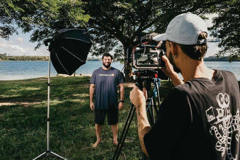
By utilizing state-of-the-art drone equipment operated by skilled pilots, real estate professionals can present properties in a dynamic and engaging manner. Aerial images reveal the property's layout, nearby amenities, landscaping, and surrounding environment, offering potential buyers a comprehensive perspective that facilitates informed decision-making.
The benefits of incorporating drone photography into real estate marketing strategies extend beyond aesthetic appeal. It significantly accelerates the sales process by generating greater interest and increasing online engagement. High-quality aerial imagery attracts more views, shares, and inquiries, which are crucial in closing deals efficiently. Real estate drone photography also helps agents and sellers highlight key selling points — such as proximity to points of interest, scenic views, or sizeable land parcels — which might be less noticeable from the ground.
In Miami’s vibrant real estate market, drone photography has become an essential tool to showcase luxury homes, waterfront properties, and expansive developments. The ability to capture stunning visual narratives from above elevates listings beyond simple images, transforming property presentations into compelling stories that resonate with prospective buyers.
Legal and Regulatory Considerations in Miami
Operat ing drones for real estate photography in Miami involves adherence to specific aviation and safety guidelines designed to ensure responsible use of aerial technology. Professionals engaged in drone photography must comply with the Federal Aviation Administration (FAA) regulations that oversee commercial drone operations across the United States. This includes obtaining the appropriate certification, such as the Remote Pilot Certificate, which verifies a pilot’s proficiency in operating drones safely and within regulatory parameters.
Additional local requirements in Miami may include obtaining permissions or waivers for flight over certain areas, particularly in densely populated neighborhoods, near airports, or restricted zones such as military installations. Chang es in the enforcement of drone regulations often require operators to stay updated on any regional ordinances or municipal policies that could influence flight paths and timings.
Safety remains a core component of drone operations. Operators are expected to perform pre-flight risk assessments, maintain visual line-of-sight at all times, and avoid flying over crowds or private properties without prior permission. Maintaining updated insurance coverage for drone activities further ensures that all operations are conducted responsibly, safeguarding clients and the public alike.
As the drone industry continues to evolve, regulations are refined periodically to balance technological innovation with safety and privacy considerations. Real estate professionals working with drone service providers should verify the current regulatory landscape and ensure that all operational permits and certifications are in place before scheduling aerial shoots.
This diligence not only supports lawful operations but also enhances the credibility and professionalism of the marketing efforts, fostering trust among clients and the community.
Legal and Regulatory Considerations in Miami
In the vibrant Miami real estate market, utilizing drone photography services requires a thorough understanding of the region's specific operational standards. Drone operators must secure appropriate permits and adhere to municipal policies that govern aerial photography, especially in densely populated neighborhoods, near airports, or within restricted zones such as military installation perimeters. Keeping abreast of evolving regulations and any changes in airspace restrictions ensures that drone campaigns are executed seamlessly and responsibly.
Before scheduling any drone flights, professionals should conduct a detailed pre-flight risk assessment, considering factors like weather conditions, potential obstructions, and nearby sensitive zones. Maintaining a visual line-of-sight during operations remains crucial, guaranteeing precise control over the drone and preventing inadvertent incursions into private or restricted airspace. All pilots should verify that their activities are supported by valid permissions and that their operations align with local ordinances to avoid disruptions or penalties.

Insurance coverage is another vital aspect, providing a layer of security against unforeseen incidents that could occur during flight operations. A comprehensive policy, tailored to drone activities, reassures clients and stakeholders that safety and responsibility are prioritized. Professional drone service providers operating in Miami typically possess all required certifications and permits, reflecting their commitment to high standards of compliance and safety.
Given the periodic refinement of drone regulations, real estate professionals collaborating with drone service providers should ensure that instructions, operational procedures, and permissions are current. This proactive approach guarantees that aerial marketing efforts are not only impactful but also conducted within the appropriate regulatory framework, thereby fostering trust and enhancing the reputation of the property listings.
Variety of Drone Shots in Real Estate Marketing
Effective real estate drone photography incorporates a diverse range of shot types to capture the property’s essence and appeal comprehensively. Aerial views, or wide-angle shots taken from elevating altitudes, provide potential buyers with a comprehensive perspective of the property’s size, surrounding landscape, and proximity to nearby amenities. These images are instrumental in creating an immediate visual impact, especially when presenting large estates, waterfront properties, or homes with substantial land plots.
3D mapping and photogrammetry services are increasingly integrated into real estate marketing campaigns. These advanced visualizations offer clients interactive, high-resolution models of the property and its surroundings, enabling virtual walkthroughs that enhance engagement and understanding of spatial layouts. These mapping techniques provide detailed insights that static images cannot convey, revealing the property's topography, elevation changes, and landscaping intricacies.
Interior imagery captured via drone technology, especially in properties featuring expansive interiors or multi-level layouts, can offer a unique perspective often not achievable through traditional photography. Elevated interior shots help emphasize the spaciousness, unique architectural features, and layout flow, especially when combined with other drone-assisted visuals to craft a comprehensive visual story of the property.
Additionally, twilight or golden hour aerial shots can dramatically enhance the aesthetic appeal of listings by creating warm, inviting images that highlight the property’s exterior features and lighting design. Such images can evoke emotional responses from potential buyers by showcasing the home in its most flattering light, reinforcing its desirability and lifestyle appeal.
Consistent use of high-quality drone shots across marketing materials—brochures, online listings, and social media campaigns—ensures a cohesive and visually compelling presentation. When carefully planned and executed, these various shot types synergistically enhance the property’s marketability by providing a rich, immersive experience that attracts and informs potential buyers more effectively than traditional methods alone.
Choosing a Drone Photography Service Provider in Miami
Selecting the right provider for real estate drone photography services in Miami requires careful evaluation of several critical factors. A reputable company should have extensive experience in aerial imaging, a strong portfolio showcasing diverse property types, and a clear understanding of the local real estate market. Since Miami's unique landscape—featuring waterfront properties, lush greenery, and distinctive architectural styles—demands specialized skills, partnering with a service provider familiar with these elements is essential for capturing compelling visuals.
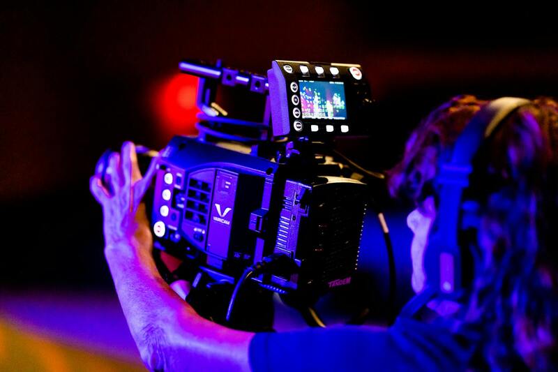
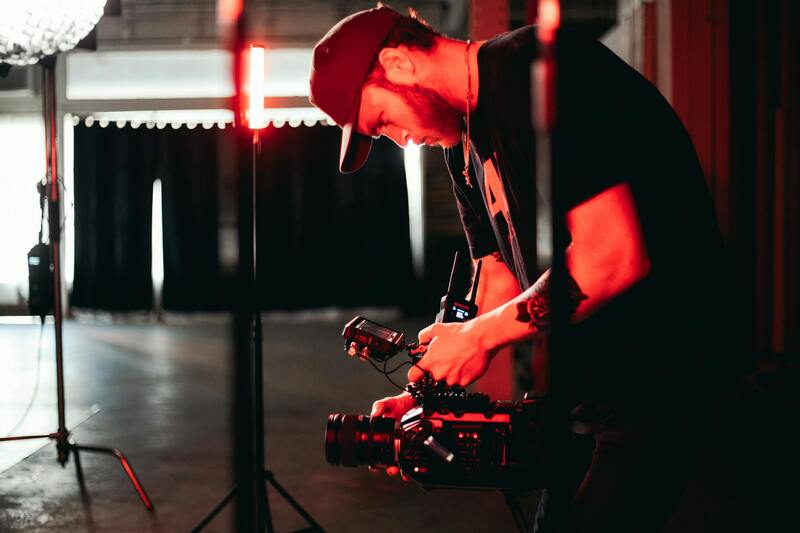
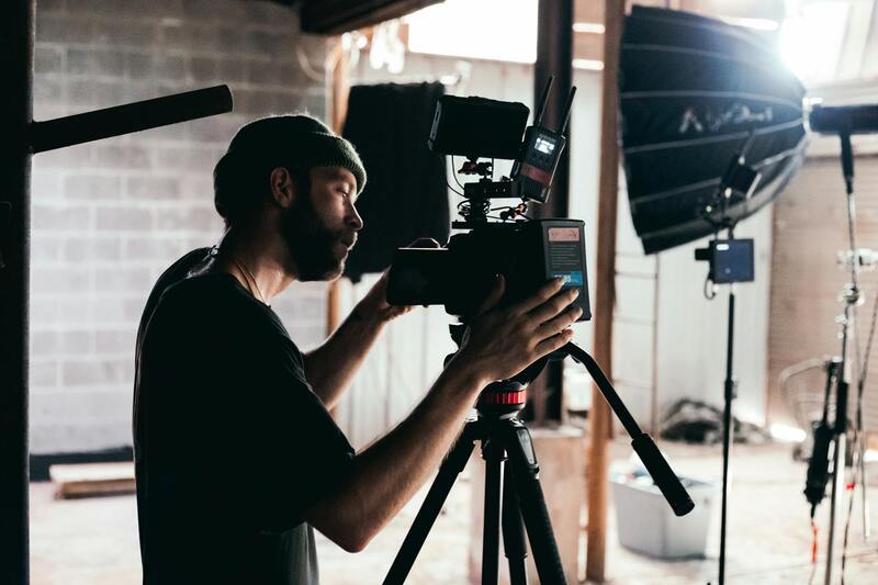
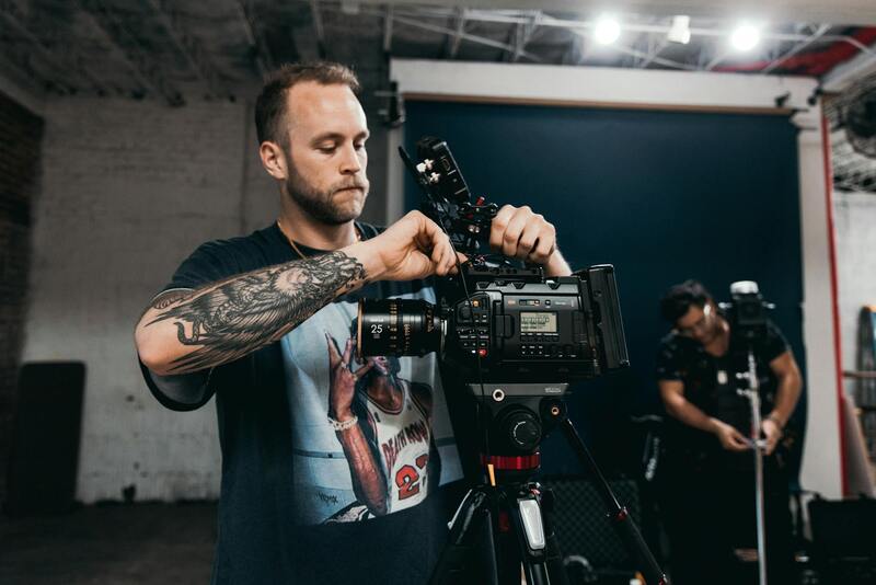
Assessing the quality of equipment used by potential providers is vital. Advanced drones equipped with high-resolution cameras, gimbals for stabilized footage, and capable of capturing detailed images in various lighting conditions ensure the production of professional-grade content. This high-quality imagery directly influences how properties are perceived by potential buyers, making the investment in top-tier equipment a strategic move for agents and property owners.
Pricing structures can vary significantly among service providers. Transparent pricing, including detailed breakdowns of what’s included—such as the number of shots, editing services, and turnaround times—helps clients compare options effectively. While affordability is important, the focus should remain on the value delivered through skilled execution, reliable service, and attention to detail. It’s advisable to seek providers that offer customizable packages tailored to specific property types and marketing goals.

Furthermore, it’s beneficial to review client testimonials and request samples of previous work. This provides insights into the provider’s capability to deliver consistent results, meet deadlines, and adapt to different property scenarios. Certifications or licenses held by drone operators, along with adherence to industry standards, further assure the quality and safety of the services offered. Ultimately, choosing an experienced local agency that combines technical expertise, reliable service, and competitive pricing ensures a successful collaboration that elevates the property’s market presentation.
Types of Aerial Shots Used in Real Estate
In the realm of professional real estate marketing, leveraging the right drone shots is crucial to showcase property features comprehensively. Different angles and perspectives highlight unique aspects of each property, making listings more attractive to prospective buyers. Below are some of the most commonly utilized drone shot types:
- Exterior Wide Shots: These encompass broad aerial views capturing the entire property within its surrounding environment. Such shots are especially effective for properties with expansive land, impressive landscaping, or notable architectural features. They provide viewers with a contextual understanding of the property’s placement within its neighborhood or natural setting.
- Front and Back Façade Views: Focused shots from the front and rear of the property highlight entryways, outdoor living spaces, pools, patios, and gardens. These views are instrumental in creating an inviting perception for potential buyers.
- Roof and Top-Down Perspectives: Drone captures from directly above the roof reveal its condition, design intricacies, and any features such as solar panels or unique roofing materials. These images also aid in emphasizing the scale and layout of expansive properties.
- High-Altitude Panoramics: Shots taken from higher altitudes provide sweeping vistas of the neighborhood, cityscape, or natural surroundings. These are particularly useful in luxury real estate marketing, where establishing a sense of exclusivity and grandeur is essential.
- Interior Aerial Angles: While less common, some specialized drone systems can capture expansive interior spaces with high ceilings or atriums. They offer a bird’s-eye view of how large interior areas are interconnected, boosting visual storytelling.
Choosing the appropriate combination of shots depends on the specific property type, its notable features, and the targeted marketing strategy. The expertise of professional drone operators ensures each shot aligns with marketing goals, emphasizing key property attributes and elevating online listings.
Additional Considerations When Using Drone Photography in Real Estate
Implementing drone photography in real estate marketing involves meticulous planning to ensure each shot effectively enhances property presentation. Contractors must consider several factors, such as optimal lighting conditions, wind speed, and restricted airspace zones. Lighting plays a crucial role; early morning or late afternoon typically offers soft, warm light that accentuates property details and landscape features, creating an appealing visual palette. Wind conditions should be stable to guarantee the safety of the drone and the quality of the footage, as gusty winds can cause unstable camera angles or even damage equipment.
Furthermore, understanding local airspace regulations and no-fly zones within Miami is vital. This knowledge ensures drones are operated within permissible confines, avoiding inadvertent violations. Collaborating with experienced drone pilots familiar with Miami's geographical and regulatory landscape can streamline the process, ensuring footage is captured legally, safely, and effectively. Pre-planning flight paths and securing necessary permits, if applicable, further facilitates a smooth shoot, minimizing delays or disruptions.
Post-flight editing also significantly influences the final presentation. Skilled editors enhance aerial footage by adjusting color grading, stabilizing images, and emphasizing key features. This professional touch ensures that visuals consistently convey the property’s unique qualities and appeal to targeted buyer demographics.
Given the technical nature of drone operations in real estate, selecting the right service provider becomes pivotal. A reputable firm employs certified operators equipped with advanced drones and editing tools, ensuring high-quality outputs that adhere to safety standards. Moreover, expertise in Miami’s specific airspace and property types enables these providers to customize flight plans for optimal results. Their familiarity with the local market ensures that each shot aligns with current marketing trends and buyer expectations, maximizing the property's visual impact.
Effective communication before and after the shoot ensures that clients' goals are understood and met. Clear briefing on desired angles, highlights, and stylistic preferences allows providers to deliver footage that complements existing marketing materials. Additionally, timely delivery of edited content enables real estate agents and marketers to swiftly incorporate fresh visuals into their listings, virtual tours, and promotional campaigns, ultimately accelerating the property sale process.
Impact of Drone Imagery on Real Estate Marketing Strategies
In today’s competitive real estate market, integrating drone photography into marketing strategies is a decisive factor in attracting potential buyers and increasing property visibility. High-quality aerial footage and images enable real estate professionals to craft compelling narratives around a property, emphasizing its unique features, surrounding environment, and overall appeal from perspectives that ground-level photography cannot achieve. This elevated approach enhances the emotional connection with prospective buyers, especially when they can experience the spatial layout and property’s relationship to nearby amenities through immersive visuals.
Effective use of drone imagery extends beyond simply showcasing a property from above. It plays a pivotal role in creating a cohesive branding strategy that highlights quality, attention to detail, and innovative marketing. Real estate agents can incorporate drone footage into virtual tours, social media campaigns, and listing presentations to stand out in digital channels. Such visual content supports storytelling, helping potential buyers visualize living in the space and understanding the full extent of the property’s features.
The strategic deployment of drone photography also facilitates targeted marketing efforts. Customized aerial shots can be tailored to highlight specific aspects such as expansive yards, scenic views, or proximity to local attractions. This precision allows for effective segmentation of marketing campaigns based on buyer preferences, increasing engagement rates and inquiries. Furthermore, integrating drone visuals into open house events and online listings stimulates interest and generates buzz, often leading to faster sales cycles.
In conclusion, the adoption of drone imagery within real estate marketing strategies not only elevates the visual presentation of properties but also significantly impacts buyer perception and decision-making. The ability to showcase a property from multiple perspectives, combined with high-definition quality and cinematic angles, transforms traditional listings into immersive experiences. This approach ultimately leads to increased engagement, quicker sales, and a stronger market positioning for real estate professionals leveraging Miami’s vibrant and diverse property landscape.